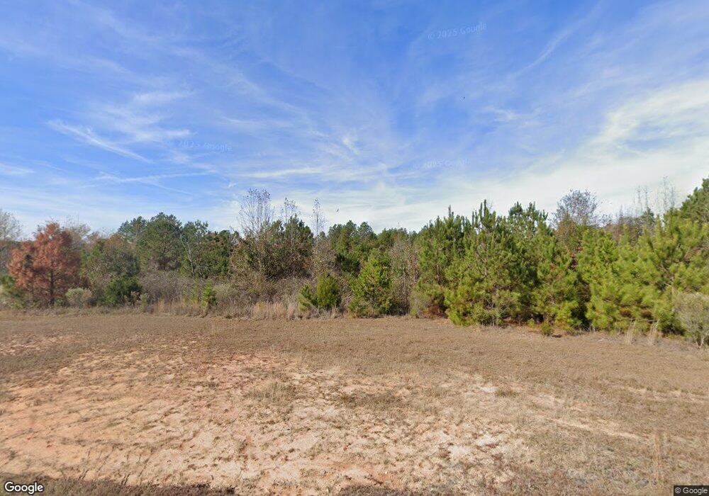
360 Bradford Rd Choudrant, LA 71227
Estimated Value: $82,000 - $82,122
--
Bed
--
Bath
--
Sq Ft
23.72
Acres
About This Home
This home is located at 360 Bradford Rd, Choudrant, LA 71227 and is currently estimated at $82,061. 360 Bradford Rd is a home located in Lincoln Parish with nearby schools including Choudrant Elementary School, Choudrant High School, and Ruston Junior High School.
Ownership History
Date
Name
Owned For
Owner Type
Purchase Details
Closed on
Oct 28, 2016
Sold by
Ouachita Land Acquistion And Development
Bought by
Brackin Michael Shyne and Brackin Jennifer Renee Black
Current Estimated Value
Purchase Details
Closed on
Sep 18, 2008
Sold by
Ouachita Land Acquisition & Development
Bought by
Walker Richard Daniel and Walker Christina Faith Allen
Home Financials for this Owner
Home Financials are based on the most recent Mortgage that was taken out on this home.
Original Mortgage
$24,000
Interest Rate
6.57%
Mortgage Type
Seller Take Back
Create a Home Valuation Report for This Property
The Home Valuation Report is an in-depth analysis detailing your home's value as well as a comparison with similar homes in the area
Home Values in the Area
Average Home Value in this Area
Purchase History
| Date | Buyer | Sale Price | Title Company |
|---|---|---|---|
| Brackin Michael Shyne | $59,300 | None Available | |
| Walker Richard Daniel | $25,000 | None Available |
Source: Public Records
Mortgage History
| Date | Status | Borrower | Loan Amount |
|---|---|---|---|
| Previous Owner | Walker Richard Daniel | $24,000 |
Source: Public Records
Tax History Compared to Growth
Tax History
| Year | Tax Paid | Tax Assessment Tax Assessment Total Assessment is a certain percentage of the fair market value that is determined by local assessors to be the total taxable value of land and additions on the property. | Land | Improvement |
|---|---|---|---|---|
| 2024 | $35 | $430 | $430 | $0 |
| 2023 | $37 | $432 | $432 | $0 |
| 2022 | $36 | $432 | $432 | $0 |
| 2021 | $36 | $432 | $432 | $0 |
| 2020 | $36 | $432 | $432 | $0 |
| 2019 | $36 | $428 | $428 | $0 |
| 2018 | $36 | $428 | $428 | $0 |
| 2017 | $36 | $428 | $428 | $0 |
| 2016 | $8 | $0 | $0 | $0 |
| 2015 | $8 | $86 | $86 | $0 |
| 2013 | $391 | $3,553 | $1,424 | $2,129 |
Source: Public Records
Map
Nearby Homes
- 0 Bradford Rd
- 2420 Highway 556
- 26 Ashley Griggs Rd
- 00 Connie Walters Rd
- 156 Laney Crocker Rd E
- 510 Louisiana 556
- 0 Jim Finley Rd
- 00 Par Road 43
- 193 Purdy Place
- 193 Showhorse Ln
- 00 Indian Orchard Ln
- 00 Guyton Swamp Rd
- 0 Guyton Swamp Rd
- 1113 Luebenia Rd
- 219 Lamar Rd
- LOT 18 Scarlett Way
- LOT 19 Scarlett Way
- Lot 16 Scarlett Way
- Lot 17 Scarlett Way
- 000 Parish Road 351
- 381 Bradford Rd
- 392 Bradford Rd
- 298 Bradford Rd
- 257 Bradford Rd
- 203 Bradford Rd
- 189 Bradford Rd
- 165 Bradford Rd
- 151 Bradford Rd
- 665 Bradford Rd
- 453 Campbell Rd
- 109 Bradford Rd
- 624 Bradford Rd
- 689 Bradford Rd
- 942 Vining Rd
- 424 Campbell Rd
- 0 Campbell Rd
- 983 Campbell Rd
- 758 Crocker Rd
- 482 Campbell Rd
- 538 Campbell Rd