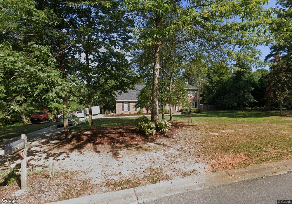
360 Brandon Mill Cir Unit 3 Fayetteville, GA 30214
Estimated Value: $407,000 - $475,000
--
Bed
--
Bath
2,825
Sq Ft
$152/Sq Ft
Est. Value
About This Home
This home is located at 360 Brandon Mill Cir Unit 3, Fayetteville, GA 30214 and is currently estimated at $428,321, approximately $151 per square foot. 360 Brandon Mill Cir Unit 3 is a home located in Fayette County with nearby schools including Bennett's Mill Middle School, Fayette County High School, and Counterpane School.
Ownership History
Date
Name
Owned For
Owner Type
Purchase Details
Closed on
Feb 28, 1994
Sold by
Burgara John P and Burgara Silvia C
Bought by
Canning John P and Canning Karen K
Current Estimated Value
Home Financials for this Owner
Home Financials are based on the most recent Mortgage that was taken out on this home.
Original Mortgage
$148,200
Interest Rate
6.97%
Create a Home Valuation Report for This Property
The Home Valuation Report is an in-depth analysis detailing your home's value as well as a comparison with similar homes in the area
Home Values in the Area
Average Home Value in this Area
Purchase History
| Date | Buyer | Sale Price | Title Company |
|---|---|---|---|
| Canning John P | $156,000 | -- |
Source: Public Records
Mortgage History
| Date | Status | Borrower | Loan Amount |
|---|---|---|---|
| Closed | Canning John P | $148,200 |
Source: Public Records
Tax History Compared to Growth
Tax History
| Year | Tax Paid | Tax Assessment Tax Assessment Total Assessment is a certain percentage of the fair market value that is determined by local assessors to be the total taxable value of land and additions on the property. | Land | Improvement |
|---|---|---|---|---|
| 2024 | $2,717 | $157,588 | $22,000 | $135,588 |
| 2023 | $4,271 | $151,280 | $22,000 | $129,280 |
| 2022 | $3,967 | $140,600 | $22,000 | $118,600 |
| 2021 | $3,034 | $105,600 | $22,000 | $83,600 |
| 2020 | $2,902 | $100,480 | $14,000 | $86,480 |
| 2019 | $2,637 | $90,160 | $14,000 | $76,160 |
| 2018 | $2,737 | $92,480 | $12,000 | $80,480 |
| 2017 | $2,448 | $82,280 | $12,000 | $70,280 |
| 2016 | $2,260 | $74,160 | $12,000 | $62,160 |
| 2015 | $1,967 | $63,120 | $12,000 | $51,120 |
| 2014 | $1,829 | $57,680 | $12,000 | $45,680 |
| 2013 | -- | $53,920 | $0 | $0 |
Source: Public Records
Map
Nearby Homes
- 560 Hawthorne Dr
- 150 Rolison Way
- 235 Rolison Way
- 170 Liberty Dr
- 150 Bartow St Unit LOT 5
- 140 Bartow St Unit LOT 4
- 130 Reese St
- 145 Heritage Way
- 190 Rolison Way
- 140 Rolison Way
- 230 White Rd
- 585 Huddleston Rd
- 115 Westside Way
- 145 Woodsong Dr
- 205 Sycamore Bend
- 0 Highway 92 N Unit 10594507
- 0 Highway 92 N Unit 7570733
- E OF 118 Stanley Rd
- 220 Lang Dr
- 225 S Shore Terrace
- 370 Brandon Mill Cir
- 115 Hartford Place
- 325 Brandon Mill Cir
- 120 Hanover Cir
- 100 Hanover Cir
- 0 Hartford Place Unit 8655534
- 0 Hartford Place Unit 8579177
- 315 Brandon Mill Cir
- 335 Brandon Mill Cir Unit Lot 6B
- 335 Brandon Mill Cir
- 130 Hanover Cir
- 125 Hartford Place Unit 22
- 125 Hartford Place
- 140 Hanover Cir
- 345 Brandon Mill Cir
- 155 Mill Wood Ln
- 110 Hartford Place
- 135 Hanover Cir
- 0 Hanover Cir Unit 7142853