360 Captain Lewis Dr Unit REAR Southington, CT 06489
West Southington NeighborhoodEstimated Value: $2,025,451
--
Bed
--
Bath
9,180
Sq Ft
$221/Sq Ft
Est. Value
About This Home
This home is located at 360 Captain Lewis Dr Unit REAR, Southington, CT 06489 and is currently estimated at $2,025,451, approximately $220 per square foot. 360 Captain Lewis Dr Unit REAR is a home located in Hartford County with nearby schools including Reuben E. Thalberg Elementary School, Joseph A. Depaolo Middle School, and Southington High School.
Ownership History
Date
Name
Owned For
Owner Type
Purchase Details
Closed on
Oct 27, 2022
Sold by
Leone Realty And Dev Llc
Bought by
360 Captain Lewis Rlty
Current Estimated Value
Home Financials for this Owner
Home Financials are based on the most recent Mortgage that was taken out on this home.
Original Mortgage
$100,000
Outstanding Balance
$96,972
Interest Rate
7.08%
Mortgage Type
Unknown
Estimated Equity
$1,928,479
Create a Home Valuation Report for This Property
The Home Valuation Report is an in-depth analysis detailing your home's value as well as a comparison with similar homes in the area
Home Values in the Area
Average Home Value in this Area
Purchase History
| Date | Buyer | Sale Price | Title Company |
|---|---|---|---|
| 360 Captain Lewis Rlty | $1,600,000 | None Available |
Source: Public Records
Mortgage History
| Date | Status | Borrower | Loan Amount |
|---|---|---|---|
| Open | 360 Captain Lewis Rlty | $100,000 | |
| Closed | 360 Captain Lewis Rlty | $1,543,500 |
Source: Public Records
Tax History Compared to Growth
Tax History
| Year | Tax Paid | Tax Assessment Tax Assessment Total Assessment is a certain percentage of the fair market value that is determined by local assessors to be the total taxable value of land and additions on the property. | Land | Improvement |
|---|---|---|---|---|
| 2025 | $17,643 | $531,270 | $68,870 | $462,400 |
| 2024 | $16,703 | $531,270 | $68,870 | $462,400 |
| 2023 | $16,129 | $531,270 | $68,870 | $462,400 |
| 2022 | $13,988 | $480,200 | $68,870 | $411,330 |
| 2021 | $13,940 | $480,200 | $68,870 | $411,330 |
| 2020 | $13,868 | $452,760 | $58,370 | $394,390 |
| 2019 | $13,218 | $431,390 | $58,370 | $373,020 |
| 2018 | $11,697 | $383,750 | $58,370 | $325,380 |
| 2017 | $11,697 | $383,750 | $58,370 | $325,380 |
| 2016 | $11,374 | $383,750 | $58,370 | $325,380 |
| 2015 | $11,971 | $410,800 | $62,500 | $348,300 |
| 2014 | $11,650 | $410,800 | $62,500 | $348,300 |
Source: Public Records
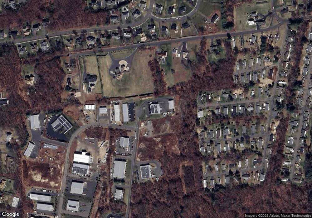
Map
Nearby Homes
- 16 Brookside Dr
- 27 Brookside Dr
- 519 Village St
- 189 Redstone Hill Rd Unit 7
- 581 Village St
- 595 Village St
- 603 Village St
- 575 Village St
- 568 Village St
- 25 Zack Ln
- 1985 West St Unit 11
- 1985 West St Unit 9
- 7 Meadow Rd
- 26 Skyline Dr
- 15 Charlies Way
- 2 Charlies Way
- 132 Hollyberry Ln
- 138 Butler Ave
- 429 Redstone Hill Rd
- 452 East St
- 360 Captain Lewis Dr
- 340 Captain Lewis Dr
- 357 #6 & #7 Captain Lewis Dr
- 357 Captain Lewis Dr
- 357 Captain Lewis Dr
- 357 Captain Lewis Dr Unit 5
- 357 Captain Lewis Dr
- 320 Captain Lewis Dr
- 410 Town Line Rd
- 300 Captain Lewis Dr
- 350 Town Line Rd
- 30 Industrial Dr
- 16 Cedar Grove Rd
- 19 Maple Rock Rd
- 430 Town Line Rd
- 29 Industrial Dr
- 15 Cedar Grove Rd
- 450 Town Line Rd
- 347 Village St
- 14 Mountain View Rd