360 Crossroads Dr Social Circle, GA 30025
Estimated Value: $367,778 - $398,000
Studio
--
Bath
2,342
Sq Ft
$164/Sq Ft
Est. Value
About This Home
This home is located at 360 Crossroads Dr, Social Circle, GA 30025 and is currently estimated at $385,195, approximately $164 per square foot. 360 Crossroads Dr is a home located in Walton County with nearby schools including Social Circle Primary School, Social Circle Elementary School, and Social Circle Middle School.
Ownership History
Date
Name
Owned For
Owner Type
Purchase Details
Closed on
Apr 10, 2008
Sold by
Star Home Builders Inc
Bought by
Peters Melia C
Current Estimated Value
Home Financials for this Owner
Home Financials are based on the most recent Mortgage that was taken out on this home.
Original Mortgage
$115,000
Outstanding Balance
$71,371
Interest Rate
5.84%
Mortgage Type
New Conventional
Estimated Equity
$313,824
Create a Home Valuation Report for This Property
The Home Valuation Report is an in-depth analysis detailing your home's value as well as a comparison with similar homes in the area
Home Values in the Area
Average Home Value in this Area
Purchase History
| Date | Buyer | Sale Price | Title Company |
|---|---|---|---|
| Peters Melia C | $197,900 | -- |
Source: Public Records
Mortgage History
| Date | Status | Borrower | Loan Amount |
|---|---|---|---|
| Open | Peters Melia C | $115,000 |
Source: Public Records
Tax History
| Year | Tax Paid | Tax Assessment Tax Assessment Total Assessment is a certain percentage of the fair market value that is determined by local assessors to be the total taxable value of land and additions on the property. | Land | Improvement |
|---|---|---|---|---|
| 2025 | $4,294 | $142,600 | $36,000 | $106,600 |
| 2024 | $4,294 | $137,520 | $26,000 | $111,520 |
| 2023 | $647 | $123,600 | $22,000 | $101,600 |
| 2022 | $835 | $104,720 | $16,600 | $88,120 |
| 2021 | $835 | $100,080 | $16,000 | $84,080 |
| 2020 | $856 | $97,080 | $14,000 | $83,080 |
| 2019 | $874 | $88,040 | $14,000 | $74,040 |
| 2018 | $874 | $88,040 | $14,000 | $74,040 |
| 2017 | $3,796 | $90,840 | $16,800 | $74,040 |
| 2016 | $834 | $77,640 | $16,800 | $60,840 |
| 2015 | $681 | $64,520 | $15,200 | $49,320 |
| 2014 | $658 | $59,400 | $0 | $0 |
Source: Public Records
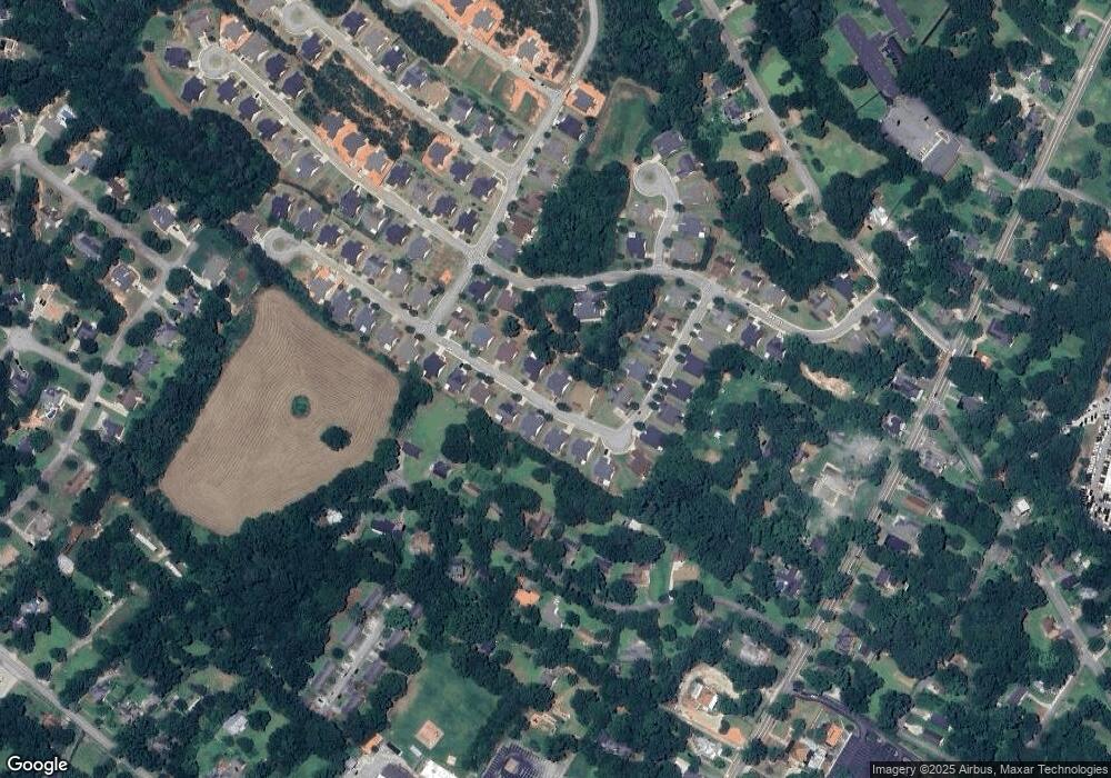
Map
Nearby Homes
- 310 Crossroads Dr
- 339 Crossroads Dr
- 900 Park Place St
- 690 Park Place Way
- 695 Park Place Way
- 901 Park Place St
- 835 Crossroads Ct
- 939 Park Place St
- 1007 Towne Cir
- 210 Park Place Trail
- 848 Crossroads Ct
- 1002 Towne Cir
- 853 Crossroads Ct
- 1020 Towne Cir
- 967 Park Place St
- 228 Oak Dr NE
- 1244 Morrow Dr
- 357 W Hightower Trail
- 1224 Morrow Dr
- 338 Boxwood St
- 350 Crossroads Dr
- 370 Crossroads Dr
- 361 Crossroads Dr
- 353 Crossroads Dr
- 340 Crossroads Dr
- 380 Crossroads Dr Unit 66
- 380 Crossroads Dr
- 371 Crossroads Dr
- 349 Crossroads Dr
- 115 Park Place Trail
- 330 Crossroads Dr
- 381 Crossroads Dr
- 390 Crossroads Dr
- 129 Park Place Trail
- 0 Park Place Trail Unit 8825025
- 710 Park Place Trail
- 391 Crossroads Dr
- 345 Crossroads Dr
- 335 Crossroads Dr
- 400 Crossroads Dr
Your Personal Tour Guide
Ask me questions while you tour the home.