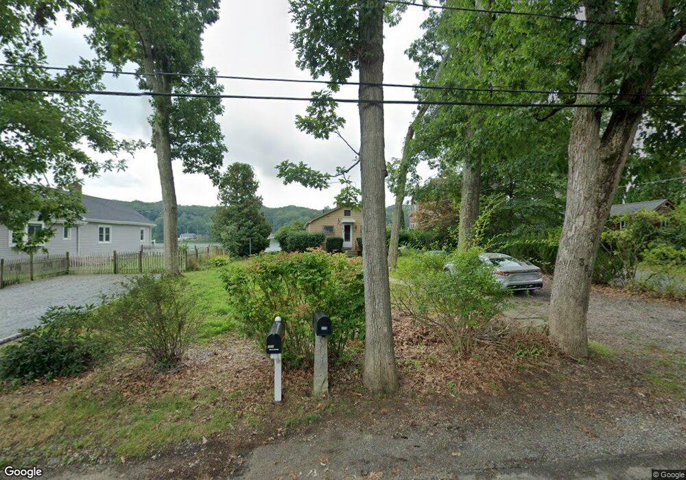
360 Forest Grove Ave Wrentham, MA 02093
Estimated Value: $402,000 - $498,690
2
Beds
1
Bath
819
Sq Ft
$526/Sq Ft
Est. Value
About This Home
This home is located at 360 Forest Grove Ave, Wrentham, MA 02093 and is currently estimated at $431,173, approximately $526 per square foot. 360 Forest Grove Ave is a home located in Norfolk County with nearby schools including Delaney Elementary School and Charles E Roderick.
Ownership History
Date
Name
Owned For
Owner Type
Purchase Details
Closed on
Apr 7, 2025
Sold by
Laliberte Nancy E
Bought by
Nancy E Laliberte Rt and Laliberte
Current Estimated Value
Purchase Details
Closed on
Jan 25, 1971
Bought by
Laliberte Nancy E
Create a Home Valuation Report for This Property
The Home Valuation Report is an in-depth analysis detailing your home's value as well as a comparison with similar homes in the area
Home Values in the Area
Average Home Value in this Area
Purchase History
| Date | Buyer | Sale Price | Title Company |
|---|---|---|---|
| Nancy E Laliberte Rt | -- | None Available | |
| Nancy E Laliberte Rt | -- | None Available | |
| Laliberte Nancy E | -- | -- |
Source: Public Records
Mortgage History
| Date | Status | Borrower | Loan Amount |
|---|---|---|---|
| Previous Owner | Laliberte Nancy E | $25,000 |
Source: Public Records
Tax History Compared to Growth
Tax History
| Year | Tax Paid | Tax Assessment Tax Assessment Total Assessment is a certain percentage of the fair market value that is determined by local assessors to be the total taxable value of land and additions on the property. | Land | Improvement |
|---|---|---|---|---|
| 2025 | $4,823 | $416,100 | $271,800 | $144,300 |
| 2024 | $4,138 | $344,800 | $282,700 | $62,100 |
| 2023 | $3,852 | $305,200 | $257,000 | $48,200 |
| 2022 | $3,713 | $271,600 | $233,700 | $37,900 |
| 2021 | $3,783 | $268,900 | $233,700 | $35,200 |
| 2020 | $3,496 | $245,300 | $192,100 | $53,200 |
| 2019 | $3,270 | $231,600 | $178,400 | $53,200 |
| 2018 | $3,590 | $252,100 | $179,200 | $72,900 |
| 2017 | $3,433 | $240,900 | $175,700 | $65,200 |
| 2016 | $3,349 | $234,500 | $170,600 | $63,900 |
| 2015 | $3,299 | $220,200 | $164,000 | $56,200 |
| 2014 | $3,615 | $236,100 | $182,000 | $54,100 |
Source: Public Records
Map
Nearby Homes
- 246 Forest Grove Ave
- 3 Oak Rd
- 0 W Birch Rd
- 10 W Birch Rd
- 45 King St
- 3 Sparrow Rd
- 38 Robin Rd
- 45 Joshua Rd
- 11 Quail Run Rd
- 2 Diamond St
- 3 Pheasanthill Rd
- 270 Dedham St
- 50 Reed Fulton Ave Unit Lot 61
- 14 Essex St
- 23 Fredrickson Rd
- 71 Pond St
- 1 Lorraine Metcalf Dr
- 6 Trailside Way
- 10 Nature View Dr
- 15 Nature View Dr
- 356 Forest Grove Ave
- 364 Forest Grove Ave
- 352 Forest Grove Ave
- 368 Forest Grove Ave
- 350 Forest Grove Ave
- 374 Forest Grove Ave
- 348 Forest Grove Ave
- 357 Forest Grove Ave
- 363 Forest Grove Ave
- 347 Forest Grove Ave
- 367 Forest Grove Ave
- 378 Forest Grove Ave
- 346 Forest Grove Ave
- 344 Forest Grove Ave
- 344 Forest Grove Ave Unit B
- 341 Forest Grove Ave
- 382 Forest Grove Ave
- 340 Forest Grove Ave
- 20 Spruce Rd
- 386 Forest Grove Ave