360 Gold Crest Dr Dahlonega, GA 30533
Estimated Value: $284,508 - $466,000
2
Beds
2
Baths
1,224
Sq Ft
$303/Sq Ft
Est. Value
About This Home
This home is located at 360 Gold Crest Dr, Dahlonega, GA 30533 and is currently estimated at $371,377, approximately $303 per square foot. 360 Gold Crest Dr is a home located in Lumpkin County with nearby schools including Clay County Middle School and Lumpkin County High School.
Ownership History
Date
Name
Owned For
Owner Type
Purchase Details
Closed on
Feb 28, 2017
Sold by
Fitts James
Bought by
Fitts Susan Kendall
Current Estimated Value
Purchase Details
Closed on
Jan 31, 2017
Sold by
Fitts Georgette Lynn Estat
Bought by
Fitts Susan Kendall
Purchase Details
Closed on
Feb 13, 2004
Sold by
Hill David
Bought by
Fitts Georgette
Purchase Details
Closed on
Dec 19, 1995
Sold by
Adderhold Joh E
Bought by
Hill David
Purchase Details
Closed on
Aug 1, 1987
Bought by
Adderhold Joh E
Create a Home Valuation Report for This Property
The Home Valuation Report is an in-depth analysis detailing your home's value as well as a comparison with similar homes in the area
Home Values in the Area
Average Home Value in this Area
Purchase History
| Date | Buyer | Sale Price | Title Company |
|---|---|---|---|
| Fitts Susan Kendall | -- | -- | |
| Fitts Susan Kendall | -- | -- | |
| Fitts Georgette | $27,300 | -- | |
| Hill David | $45,000 | -- | |
| Adderhold Joh E | -- | -- |
Source: Public Records
Tax History Compared to Growth
Tax History
| Year | Tax Paid | Tax Assessment Tax Assessment Total Assessment is a certain percentage of the fair market value that is determined by local assessors to be the total taxable value of land and additions on the property. | Land | Improvement |
|---|---|---|---|---|
| 2024 | $226 | $93,666 | $11,680 | $81,986 |
| 2023 | $30 | $88,205 | $11,680 | $76,525 |
| 2022 | $87 | $76,674 | $11,680 | $64,994 |
| 2021 | $1,864 | $65,687 | $11,680 | $54,007 |
| 2020 | $1,822 | $64,206 | $11,680 | $52,526 |
| 2019 | $1,822 | $64,206 | $11,680 | $52,526 |
| 2018 | $1,636 | $57,676 | $11,680 | $45,996 |
| 2017 | $1,591 | $54,987 | $11,680 | $43,307 |
| 2016 | $1,534 | $51,282 | $11,680 | $39,602 |
| 2015 | $1,311 | $51,282 | $11,680 | $39,602 |
| 2014 | $1,311 | $51,722 | $11,680 | $40,042 |
| 2013 | -- | $52,161 | $11,680 | $40,481 |
Source: Public Records
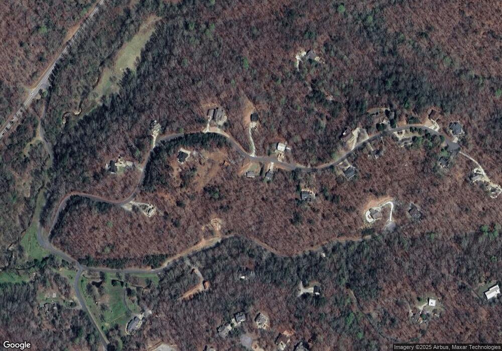
Map
Nearby Homes
- 668 Gold Cove Dr
- 0 Gold Crest Dr Unit 7623108
- 0 Gold Crest Dr Unit 10373986
- 0 Gold View Dr
- 201 Perkins Rd
- 205 Perkins Rd
- 245 Perkins Rd
- 2041 Long Branch Rd
- 2041 Long Branch Rd Unit TRACT 2A
- 72 Rustin Ridge Unit 276
- 58 Rustin Ridge Unit 278
- 42 Rustin Ridge Unit 285
- 1376 Robinson Rd
- 85 Waterloo Dr
- 0 Stamp Mill Dr
- 133 Stamp Mill Dr
- 1364 Birch River Dr
- 134 Prospector Ridge
- 1259 Birch River Dr
- 48 Kasten Run
- LOT 23 Gold Crest Dr
- LOT 5 Gold Crest Dr
- 332 Gold Crest Dr
- Lot 6 Gold Crest Dr
- 403 Gold Crest Dr
- 422 Gold Crest Dr
- Lot 2 Gold Cove Dr
- Lot 6 Gold Cove Dr
- 0 Gold Cove Dr Unit 6896722
- 0 Gold Cove Dr
- 355 Gold Crest Dr
- 520 Gold Cove Dr Unit 14
- 520 Gold Cove Dr
- 376 Gold Crest Dr
- 464 Gold Crest Dr
- 228 Gold Crest Dr
- 305 Gold Crest Dr
- 211 Gold Crest Dr
- 495 Gold Crest Dr
- 396 Gold Cove Dr