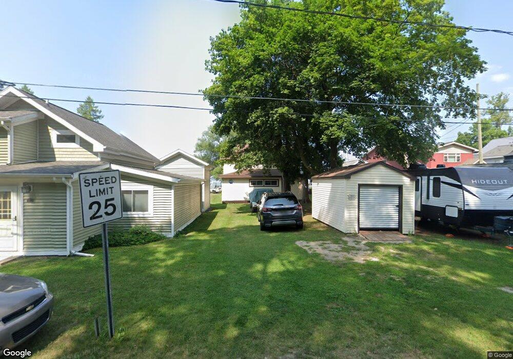
360 Grove St Crystal, MI 48818
Estimated Value: $189,755 - $244,000
--
Bed
--
Bath
--
Sq Ft
5,314
Sq Ft Lot
About This Home
This home is located at 360 Grove St, Crystal, MI 48818 and is currently estimated at $219,439. 360 Grove St is a home located in Montcalm County with nearby schools including Carson City Elementary School, Carson City-Crystal Upper Elementary/Middle School, and Carson City-Crystal High School.
Ownership History
Date
Name
Owned For
Owner Type
Purchase Details
Closed on
Jun 17, 2011
Sold by
Dougherty Thomas H
Bought by
Anderson Jill E and Anderson Charles B
Current Estimated Value
Home Financials for this Owner
Home Financials are based on the most recent Mortgage that was taken out on this home.
Original Mortgage
$50,000
Outstanding Balance
$34,534
Interest Rate
4.67%
Mortgage Type
Purchase Money Mortgage
Estimated Equity
$184,905
Purchase Details
Closed on
Feb 21, 2001
Sold by
Dougherty Thomas H
Bought by
Dougherty Family Trust
Create a Home Valuation Report for This Property
The Home Valuation Report is an in-depth analysis detailing your home's value as well as a comparison with similar homes in the area
Home Values in the Area
Average Home Value in this Area
Purchase History
| Date | Buyer | Sale Price | Title Company |
|---|---|---|---|
| Anderson Jill E | $62,500 | -- | |
| Dougherty Family Trust | -- | -- |
Source: Public Records
Mortgage History
| Date | Status | Borrower | Loan Amount |
|---|---|---|---|
| Open | Anderson Jill E | $50,000 |
Source: Public Records
Tax History Compared to Growth
Tax History
| Year | Tax Paid | Tax Assessment Tax Assessment Total Assessment is a certain percentage of the fair market value that is determined by local assessors to be the total taxable value of land and additions on the property. | Land | Improvement |
|---|---|---|---|---|
| 2025 | $3,037 | $93,900 | $0 | $0 |
| 2024 | $2,903 | $90,100 | $0 | $0 |
| 2023 | -- | $84,900 | $0 | $0 |
| 2022 | -- | $72,500 | $0 | $0 |
| 2021 | -- | $74,300 | $0 | $0 |
| 2020 | -- | -- | $0 | $0 |
| 2019 | -- | -- | $0 | $0 |
| 2018 | -- | -- | $0 | $0 |
| 2017 | -- | -- | $0 | $0 |
| 2016 | -- | -- | $0 | $0 |
| 2015 | -- | -- | $0 | $0 |
| 2014 | -- | -- | $0 | $0 |
Source: Public Records
Map
Nearby Homes
- 802 Parker St
- 305 E Lasalle St
- 8386 E Sidney Rd
- 8208 E Sidney Rd
- 255 Peterman Ave
- 1401 S Miner Rd
- 1960 Waterview Way
- 9464 E Colby Rd
- 9309 Merle Dr
- 890 S Senator Rd
- 11905 E Spencer Rd
- 10343 E Pakes Rd
- TBD E Klees Rd
- 10365 E Klees Rd
- 10041 Birch Dr
- 10653 Maple Dr
- Lot 1 Condensery Rd
- 3043 E Sidney Rd
- 4218 E Klees Rd
- 7518 S Crystal Rd