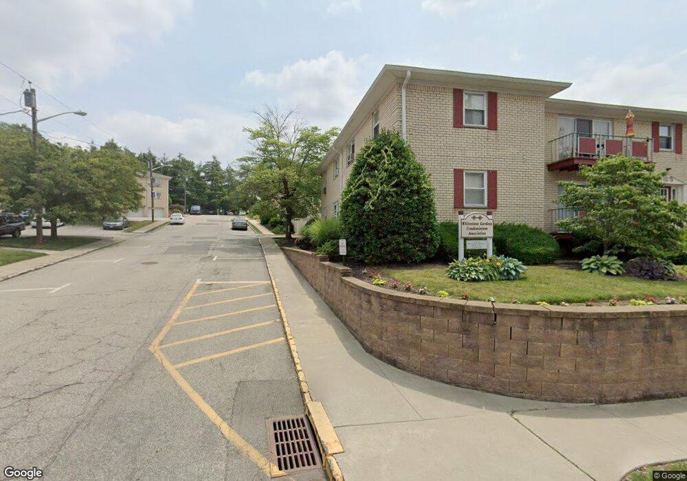
360 Hoover Ave Unit 110 Bloomfield, NJ 07003
Estimated Value: $293,323 - $315,000
1
Bed
--
Bath
912
Sq Ft
$334/Sq Ft
Est. Value
About This Home
This home is located at 360 Hoover Ave Unit 110, Bloomfield, NJ 07003 and is currently estimated at $304,331, approximately $333 per square foot. 360 Hoover Ave Unit 110 is a home located in Essex County with nearby schools including Franklin School, Bloomfield Middle School, and Bloomfield High School.
Ownership History
Date
Name
Owned For
Owner Type
Purchase Details
Closed on
Oct 27, 2014
Sold by
Banasiak Anthony and Banasiak Laura
Bought by
Banasiak Anthony and Banasiak Laura
Current Estimated Value
Purchase Details
Closed on
Apr 12, 2006
Sold by
Cole Darrin
Bought by
Banasiak Anthony and Nardiello Laura
Home Financials for this Owner
Home Financials are based on the most recent Mortgage that was taken out on this home.
Original Mortgage
$178,400
Interest Rate
6.55%
Mortgage Type
New Conventional
Purchase Details
Closed on
Dec 12, 2005
Sold by
Hoover Mgmt Llc
Bought by
Cole Darrin and Casta Joseph
Create a Home Valuation Report for This Property
The Home Valuation Report is an in-depth analysis detailing your home's value as well as a comparison with similar homes in the area
Home Values in the Area
Average Home Value in this Area
Purchase History
| Date | Buyer | Sale Price | Title Company |
|---|---|---|---|
| Banasiak Anthony | -- | -- | |
| Banasiak Anthony | -- | -- | |
| Banasiak Anthony | $223,000 | -- | |
| Cole Darrin | $190,000 | -- |
Source: Public Records
Mortgage History
| Date | Status | Borrower | Loan Amount |
|---|---|---|---|
| Previous Owner | Banasiak Anthony | $178,400 |
Source: Public Records
Tax History Compared to Growth
Tax History
| Year | Tax Paid | Tax Assessment Tax Assessment Total Assessment is a certain percentage of the fair market value that is determined by local assessors to be the total taxable value of land and additions on the property. | Land | Improvement |
|---|---|---|---|---|
| 2025 | $5,294 | $162,000 | $65,000 | $97,000 |
| 2024 | $5,294 | $162,000 | $65,000 | $97,000 |
| 2022 | $5,187 | $162,000 | $65,000 | $97,000 |
| 2021 | $5,092 | $162,000 | $65,000 | $97,000 |
| 2020 | $5,014 | $162,000 | $65,000 | $97,000 |
| 2019 | $4,347 | $109,200 | $55,500 | $53,700 |
| 2018 | $4,329 | $109,200 | $55,500 | $53,700 |
| 2017 | $4,263 | $109,200 | $55,500 | $53,700 |
| 2016 | $4,215 | $109,200 | $55,500 | $53,700 |
| 2015 | $4,177 | $109,200 | $55,500 | $53,700 |
| 2014 | $4,675 | $124,500 | $50,000 | $74,500 |
Source: Public Records
Map
Nearby Homes
- 360 Hoover Ave Unit 111
- 360 Hoover Ave
- 360 Hoover Ave Unit 112
- 360 Hoover Ave Unit 109
- 358 Hoover Ave
- 358 Hoover Ave Unit 104
- 358 Hoover Ave Unit 103
- 358 Hoover Ave Unit 101
- 356 Hoover Ave Unit 105
- 356 Hoover Ave Unit 108
- 356 Hoover Ave Unit 107
- 356 Hoover Ave Unit 106
- 354 Hoover Ave Unit 100
- 354 Hoover Ave Unit 99
- 354 Hoover Ave Unit 98
- 354 Hoover Ave Unit 97
- 354 Hoover Ave
- 352 Hoover Ave Unit 93
- 352 Hoover Ave Unit 95
- 352 Hoover Ave Unit 96