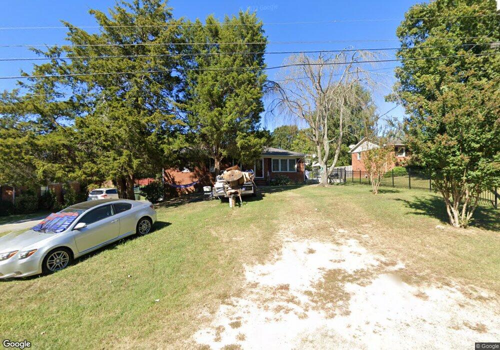
360 Jarrett Rd Thomasville, NC 27360
Estimated Value: $234,000 - $276,000
3
Beds
2
Baths
3,011
Sq Ft
$85/Sq Ft
Est. Value
About This Home
This home is located at 360 Jarrett Rd, Thomasville, NC 27360 and is currently estimated at $256,026, approximately $85 per square foot. 360 Jarrett Rd is a home located in Davidson County with nearby schools including Fair Grove Elementary School, E. Lawson Brown Middle School, and East Davidson High School.
Ownership History
Date
Name
Owned For
Owner Type
Purchase Details
Closed on
Apr 18, 2018
Sold by
Canales Jesus Maximilliano and Canales Maria Antonia
Bought by
Canales Maria Antonia
Current Estimated Value
Purchase Details
Closed on
Oct 22, 2015
Sold by
Bank Of America Na
Bought by
Canales Jesus M and Canales Maria A
Purchase Details
Closed on
Feb 20, 2003
Sold by
Furr David Aaron
Bought by
Canales Jesus
Purchase Details
Closed on
Oct 1, 2001
Bought by
Furr David Aaron
Purchase Details
Closed on
Jun 1, 1986
Purchase Details
Closed on
Jun 1, 1974
Create a Home Valuation Report for This Property
The Home Valuation Report is an in-depth analysis detailing your home's value as well as a comparison with similar homes in the area
Home Values in the Area
Average Home Value in this Area
Purchase History
| Date | Buyer | Sale Price | Title Company |
|---|---|---|---|
| Canales Maria Antonia | -- | None Available | |
| Canales Jesus M | $53,500 | Attorney | |
| Canales Jesus | $115,000 | -- | |
| Furr David Aaron | $112,000 | -- | |
| -- | $40,000 | -- | |
| -- | $22,500 | -- |
Source: Public Records
Tax History Compared to Growth
Tax History
| Year | Tax Paid | Tax Assessment Tax Assessment Total Assessment is a certain percentage of the fair market value that is determined by local assessors to be the total taxable value of land and additions on the property. | Land | Improvement |
|---|---|---|---|---|
| 2025 | $1,411 | $123,520 | $0 | $0 |
| 2024 | $1,368 | $119,710 | $0 | $0 |
| 2023 | $1,368 | $119,710 | $0 | $0 |
| 2022 | $1,368 | $119,710 | $0 | $0 |
| 2021 | $1,368 | $119,710 | $0 | $0 |
| 2020 | $1,233 | $109,800 | $0 | $0 |
| 2019 | $1,252 | $109,800 | $0 | $0 |
| 2018 | $1,252 | $109,800 | $0 | $0 |
| 2017 | $1,252 | $109,800 | $0 | $0 |
| 2016 | $1,208 | $109,800 | $0 | $0 |
| 2015 | $1,208 | $109,800 | $0 | $0 |
| 2014 | $1,366 | $124,210 | $0 | $0 |
Source: Public Records
Map
Nearby Homes
- 107 Fletcher's Farm Dr
- 109 Fletcher's Farm Dr
- 1111 Forest Ln
- 122 S Old Fisher Ferry Rd
- 1142 Kendall Mill Rd
- 73 Harris Farm Ct
- 106 Kincemac Dr
- 1 Westwood Ave
- 123 Brooke Ridge Dr
- 223 S Westwood Ave
- 307 Fisher Ferry St
- 0 Smith Dr
- 300 Willowbrook Dr
- 296 Fairgrove Rd
- 1125 Hillcrest Dr
- 2501 Denton Rd
- 2517 Denton Rd
- 0 Hillcrest Dr Unit 90 CAR4240649
- 708 Ferndale Dr
- 1269 Johnsontown Rd
- 362 Jarrett Rd
- 358 Jarrett Rd
- 327 Kendall Mill Rd
- lot 12 Kendall Mill Rd
- lot 11 Kendall Mill Rd
- 356 Jarrett Rd
- 325 Kendall Mill Rd
- 354 Jarrett Rd
- 323 Kendall Mill Rd
- 350 Jarrett Rd
- 342 Jarrett Rd
- 343 Jarrett Rd
- 338 Jarrett Rd
- 204 John Mills Ln
- 337 Jarrett Rd
- 340 Jarrett Rd
- Lot 11 Jarrett Rd
- 205 John Mills Ln
- 204 H E Clement Ln
- 335 Jarrett Rd