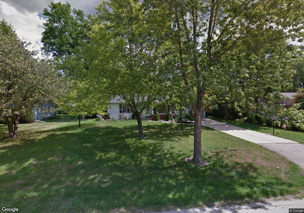
360 Leanore Ln Brookfield, WI 53005
Estimated Value: $442,000 - $479,000
About This Home
This home is located at 360 Leanore Ln, Brookfield, WI 53005 and is currently estimated at $455,847, approximately $257 per square foot. 360 Leanore Ln is a home located in Waukesha County with nearby schools including Swanson Elementary School, Wisconsin Hills Middle School, and Brookfield Central High School.
Ownership History
We collect this data history from publicly available records. To have your information removed, we recommend requesting removal directly through your county’s website.
Purchase Details
Home Financials for this Owner
Home Financials are based on the most recent Mortgage that was taken out on this home.Purchase Details
Home Financials for this Owner
Home Financials are based on the most recent Mortgage that was taken out on this home.Home Values in the Area
Average Home Value in this Area
Purchase History
We collect this data history from publicly available records. To have your information removed, we recommend requesting removal directly through your county’s website.
| Date | Buyer | Sale Price | Title Company |
|---|---|---|---|
| $225,000 | None Available | ||
| $217,900 | -- |
Mortgage History
We collect this data history from publicly available records. To have your information removed, we recommend requesting removal directly through your county’s website.
| Date | Status | Borrower | Loan Amount |
|---|---|---|---|
| Open | $157,500 | ||
| Previous Owner | $167,900 |
Tax History
We collect this data history from publicly available records. To have your information removed, we recommend requesting removal directly through your county’s website.
| Year | Tax Paid | Tax Assessment Tax Assessment Total Assessment is a certain percentage of the fair market value that is determined by local assessors to be the total taxable value of land and additions on the property. | Land | Improvement |
|---|---|---|---|---|
| 2024 | $3,766 | $344,000 | $125,000 | $219,000 |
| 2023 | $3,760 | $344,000 | $125,000 | $219,000 |
| 2022 | $3,733 | $267,400 | $120,000 | $147,400 |
| 2021 | $3,948 | $267,400 | $120,000 | $147,400 |
| 2020 | $4,142 | $267,400 | $120,000 | $147,400 |
| 2019 | $3,970 | $267,400 | $120,000 | $147,400 |
| 2018 | $3,487 | $229,400 | $110,000 | $119,400 |
| 2017 | $3,504 | $229,400 | $110,000 | $119,400 |
| 2016 | $3,555 | $229,400 | $110,000 | $119,400 |
| 2015 | $3,541 | $229,400 | $110,000 | $119,400 |
| 2014 | $3,673 | $229,400 | $110,000 | $119,400 |
| 2013 | $3,673 | $229,400 | $110,000 | $119,400 |
Map
- 305 Leanore Ln
- 215 Leanore Ln
- 805 Lone Tree Rd
- 825 Lone Tree Rd
- 1005 Lone Tree Rd
- 365 Sheffield Dr
- 15200 Briaridge Ct
- 14420 Woodridge Cir
- 15270 Red Fox Ln
- 1435 Victoria Cir N
- 1405 Victoria Cir N
- 530 Park Cir
- 1240 Lakeside Dr
- 1065 Lower Ridgeway
- 1260 Lakeside Dr
- 225 N 166th St
- 738 Elm Grove Rd Unit 738
- 295 N Elm Grove Rd Unit A
- 575 Kenmar Rd
- 345 N Elm Grove Rd Unit B
- 340 Leanore Ln
- 400 Leanore Ln
- 375 Lynnwood Ln
- 355 Lynnwood Ln
- 405 Lynnwood Ln
- 320 Leanore Ln
- 365 Leanore Ln
- 385 Leanore Ln
- 335 Leanore Ln
- 450 Leanore Ln
- 325 Lynnwood Ln
- 335 N Leanore Ln
- 425 Lynnwood Ln
- 415 Leanore Ln
- 315 Leanore Ln
- 300 Leanore Ln
- 455 N Lynnwood Ln
- 305 Lynnwood Ln
- 455 Lynnwood Ln
- 445 Leanore Ln
Ask me questions while you tour the home.