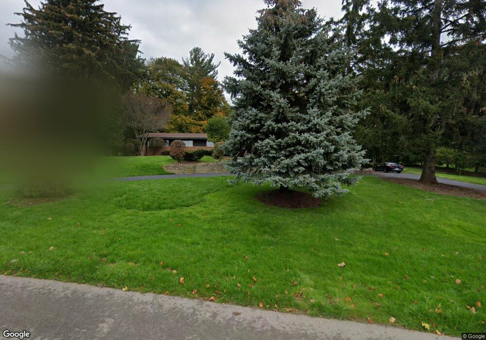
360 Martell Dr Bloomfield Hills, MI 48304
Estimated Value: $1,433,000 - $1,872,000
4
Beds
4
Baths
3,167
Sq Ft
$521/Sq Ft
Est. Value
About This Home
This home is located at 360 Martell Dr, Bloomfield Hills, MI 48304 and is currently estimated at $1,651,227, approximately $521 per square foot. 360 Martell Dr is a home located in Oakland County with nearby schools including Way Elementary School, South Hills Middle School, and Bloomfield Hills High School.
Ownership History
Date
Name
Owned For
Owner Type
Purchase Details
Closed on
Nov 24, 2009
Sold by
Barion Donna Lou and Barion Donna L
Bought by
Barion Donna L and The Donna L Barion Trust
Current Estimated Value
Purchase Details
Closed on
Apr 27, 2006
Sold by
Comerica Bank
Bought by
Barion Donna Lou
Purchase Details
Closed on
Jun 24, 1987
Sold by
Barion Chester and Barion Donna Lou
Bought by
Barion Chester
Create a Home Valuation Report for This Property
The Home Valuation Report is an in-depth analysis detailing your home's value as well as a comparison with similar homes in the area
Home Values in the Area
Average Home Value in this Area
Purchase History
| Date | Buyer | Sale Price | Title Company |
|---|---|---|---|
| Barion Donna L | -- | None Available | |
| Barion Donna Lou | -- | None Available | |
| Barion Chester | -- | First American Title Ins Co |
Source: Public Records
Tax History Compared to Growth
Tax History
| Year | Tax Paid | Tax Assessment Tax Assessment Total Assessment is a certain percentage of the fair market value that is determined by local assessors to be the total taxable value of land and additions on the property. | Land | Improvement |
|---|---|---|---|---|
| 2024 | $11,964 | $583,680 | $0 | $0 |
| 2023 | $11,509 | $536,530 | $0 | $0 |
| 2022 | $13,307 | $533,420 | $0 | $0 |
| 2021 | $12,817 | $510,510 | $0 | $0 |
| 2020 | $10,509 | $477,800 | $0 | $0 |
| 2019 | $11,932 | $472,590 | $0 | $0 |
| 2018 | $11,965 | $461,570 | $0 | $0 |
| 2017 | $11,840 | $426,430 | $0 | $0 |
| 2016 | $11,800 | $407,740 | $0 | $0 |
| 2015 | -- | $384,480 | $0 | $0 |
| 2014 | -- | $351,830 | $0 | $0 |
| 2011 | -- | $336,560 | $0 | $0 |
Source: Public Records
Map
Nearby Homes
- 270 Martell Dr
- 375 Dunston Rd
- 596 Rudgate Rd
- 692 Bennington Dr
- 1348 Charrington Rd
- 1287 Charrington Rd
- 1019 N Cranbrook Rd
- 1260 Lyonhurst St
- 1120 Lyonhurst St
- 2579 Amberly Rd
- 956 Westwood Dr
- 931 Vaughan Rd
- 60 Kingsley Manor Dr
- 341 Keswick Rd
- 5825 Lahser Rd
- 3546 Bloomfield Club Dr
- 33 Boulder Ln Unit 2
- 4650 Lahser Rd
- 362 Keswick Rd
- 275 Barden Rd
- 400 Martell Dr
- 340 Martell Ct
- 345 Martell Dr
- 371 Martell Dr
- 0 Martell Ct
- 0 Martell Ct
- 393 Martell Dr
- 369 Martell Dr
- 255 Martell Dr
- 310 Martell Ct
- 420 Martell Dr
- 411 Martell Dr
- 330 Martell Ct
- 298 Lone Pine Ct
- 469 Goodhue Rd Unit Bldg-Unit
- 469 Goodhue Rd
- 215 Martell Dr
- 520 Haverhill Rd
- 270 Martell Dr Unit Bldg-Unit
- 320 Martell Ct