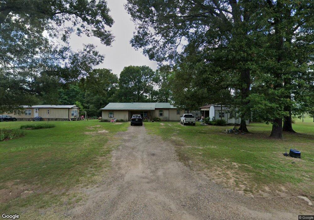
360 Mcguire Rd Simsboro, LA 71275
Estimated Value: $153,916 - $213,000
--
Bed
--
Bath
1,606
Sq Ft
$109/Sq Ft
Est. Value
About This Home
This home is located at 360 Mcguire Rd, Simsboro, LA 71275 and is currently estimated at $174,479, approximately $108 per square foot. 360 Mcguire Rd is a home located in Lincoln Parish with nearby schools including Simsboro High School.
Ownership History
Date
Name
Owned For
Owner Type
Purchase Details
Closed on
Jun 29, 2018
Sold by
Smith-Thomas Deana C
Bought by
Young Jason G and Thomas-Young Sabrina
Current Estimated Value
Home Financials for this Owner
Home Financials are based on the most recent Mortgage that was taken out on this home.
Original Mortgage
$80,004
Outstanding Balance
$69,335
Interest Rate
4.5%
Mortgage Type
New Conventional
Estimated Equity
$105,144
Purchase Details
Closed on
Dec 2, 2008
Sold by
Young Sabrina Thomas and Young Jason Glenn
Bought by
Smith Thomas Deana
Home Financials for this Owner
Home Financials are based on the most recent Mortgage that was taken out on this home.
Original Mortgage
$95,736
Interest Rate
6.48%
Mortgage Type
FHA
Create a Home Valuation Report for This Property
The Home Valuation Report is an in-depth analysis detailing your home's value as well as a comparison with similar homes in the area
Home Values in the Area
Average Home Value in this Area
Purchase History
| Date | Buyer | Sale Price | Title Company |
|---|---|---|---|
| Young Jason G | $120,000 | -- | |
| Smith Thomas Deana | $97,000 | Elite Title Insurance Agency |
Source: Public Records
Mortgage History
| Date | Status | Borrower | Loan Amount |
|---|---|---|---|
| Open | Young Jason G | $80,004 | |
| Previous Owner | Smith Thomas Deana | $95,736 |
Source: Public Records
Tax History Compared to Growth
Tax History
| Year | Tax Paid | Tax Assessment Tax Assessment Total Assessment is a certain percentage of the fair market value that is determined by local assessors to be the total taxable value of land and additions on the property. | Land | Improvement |
|---|---|---|---|---|
| 2024 | $735 | $8,796 | $1,848 | $6,948 |
| 2023 | $465 | $5,041 | $825 | $4,216 |
| 2022 | $434 | $5,041 | $825 | $4,216 |
| 2021 | $430 | $5,041 | $825 | $4,216 |
| 2020 | $433 | $5,041 | $825 | $4,216 |
| 2019 | $431 | $5,041 | $825 | $4,216 |
| 2018 | $339 | $3,844 | $825 | $3,019 |
| 2017 | $340 | $3,844 | $825 | $3,019 |
| 2016 | $341 | $0 | $0 | $0 |
| 2015 | $368 | $3,888 | $825 | $3,063 |
| 2013 | $373 | $3,888 | $825 | $3,063 |
Source: Public Records
Map
Nearby Homes
- 0 Best Rd
- 430 Par Road 307
- 130 Doyston Rd
- 136 Louisa St
- 119 Walnut Creek Rd
- 352 Walnut Creek Rd
- 5325 Louisiana 563
- 217 Gahagan Rd
- 359 Madden Rd
- 0 Madden Rd
- 00 Madden Rd
- 000 Madden Rd
- 791 Highway 3074
- 119 Cove View Rd
- 0 Bennett Rd
- 00 Louisiana 3074 Unit Tract 3
- 0 Louisiana 3074 Unit Tract 1
- 000 Carnation Rd Unit est 30
- 3936 College St
- 136 Rwe Jones Dr
- 349 Mcguire Rd
- 365 Mcguire Rd
- 380 Mcguire Rd
- 336 Mcguire Rd
- 400 Mcguire Rd
- 321 Mcguire Rd
- 303 Mcguire Rd
- 304 Mcguire Rd
- 0000 Highway 507
- 66.4 Acres Unit off Texas Road
- TBA Martha St
- 681 Centerpoint Rd
- 608 Centerpoint Rd
- 604 Centerpoint Rd
- 1037 Eaves Rd
- 1006 Eaves Rd
- 1025 Eaves Rd
- 724 Centerpoint Rd
- 654 Centerpoint Rd
- 1635 Highway 507