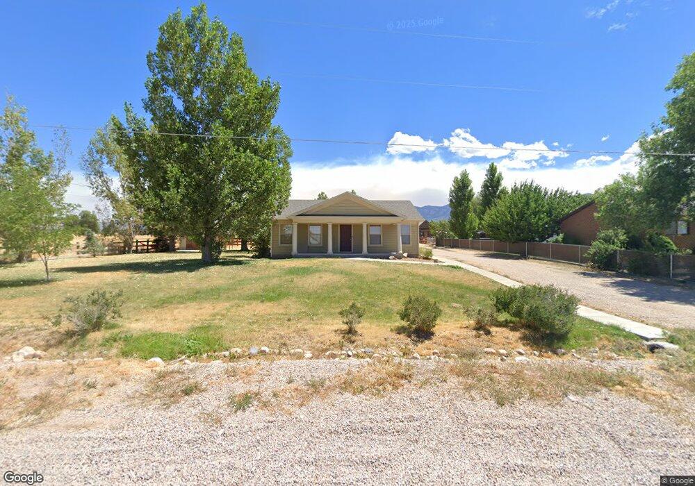
360 N 200 W Holden, UT 84636
Estimated Value: $337,000 - $678,000
2
Beds
1
Bath
1,437
Sq Ft
$353/Sq Ft
Est. Value
About This Home
This home is located at 360 N 200 W, Holden, UT 84636 and is currently estimated at $507,500, approximately $353 per square foot. 360 N 200 W is a home located in Millard County.
Ownership History
Date
Name
Owned For
Owner Type
Purchase Details
Closed on
Nov 14, 2024
Sold by
Atkinson Trevor R and Atkinson Heidi E
Bought by
Stephenson Cheryl
Current Estimated Value
Home Financials for this Owner
Home Financials are based on the most recent Mortgage that was taken out on this home.
Original Mortgage
$305,100
Outstanding Balance
$301,750
Interest Rate
6.12%
Mortgage Type
New Conventional
Estimated Equity
$205,750
Create a Home Valuation Report for This Property
The Home Valuation Report is an in-depth analysis detailing your home's value as well as a comparison with similar homes in the area
Home Values in the Area
Average Home Value in this Area
Purchase History
| Date | Buyer | Sale Price | Title Company |
|---|---|---|---|
| Stephenson Cheryl | -- | First American Title Insurance | |
| Stephenson Cheryl | -- | First American Title Insurance |
Source: Public Records
Mortgage History
| Date | Status | Borrower | Loan Amount |
|---|---|---|---|
| Open | Stephenson Cheryl | $305,100 | |
| Closed | Stephenson Cheryl | $305,100 |
Source: Public Records
Tax History Compared to Growth
Tax History
| Year | Tax Paid | Tax Assessment Tax Assessment Total Assessment is a certain percentage of the fair market value that is determined by local assessors to be the total taxable value of land and additions on the property. | Land | Improvement |
|---|---|---|---|---|
| 2025 | $1,248 | $160,634 | $14,748 | $145,886 |
| 2024 | $1,248 | $154,920 | $11,523 | $143,397 |
| 2023 | $1,619 | $154,920 | $11,523 | $143,397 |
| 2022 | $1,336 | $123,700 | $9,602 | $114,098 |
| 2021 | $1,068 | $94,494 | $6,913 | $87,581 |
| 2020 | $902 | $80,195 | $6,012 | $74,183 |
| 2019 | $891 | $79,648 | $5,465 | $74,183 |
| 2018 | $818 | $74,686 | $4,752 | $69,934 |
| 2017 | $805 | $70,111 | $4,752 | $65,359 |
| 2016 | $747 | $67,645 | $4,752 | $62,893 |
| 2015 | $747 | $67,645 | $4,752 | $62,893 |
Source: Public Records
Map
Nearby Homes
- 290 N 200 Rd E
- 700 W 1100 S
- 8300 N 3300 E
- 3700 W 5800 N
- 205 N 100 E
- 600 E 1200 St N
- 2155 N Cedar Mountain Rd
- 2835 N Cedar Mountain Rd
- 390 N 100 W
- 380 N 200 St W
- 335 W 400 North St
- 400 W 2600 North St
- 410 W 400 N
- 295 N 100 West St
- 165 N 100 W
- 225 W 200 St N
- 75 N 100 West St
- 40 S 100 Rd E
- 120 S 100 East Rd
- 430 E Canyon Rd