Estimated Value: $705,000
2
Beds
6
Baths
800
Sq Ft
$881/Sq Ft
Est. Value
About This Home
This home is located at 360 N 300 W, Ivins, UT 84738 and is currently estimated at $705,000, approximately $881 per square foot. 360 N 300 W is a home located in Washington County with nearby schools including Snow Canyon Middle School, Lava Ridge Intermediate School, and Snow Canyon High School.
Ownership History
Date
Name
Owned For
Owner Type
Purchase Details
Closed on
Jan 6, 2023
Sold by
Maxwell Craig and Maxwell Shelyce
Bought by
Maxwell Living Trust
Current Estimated Value
Purchase Details
Closed on
Jan 20, 2021
Sold by
Little Douglas R and Little Marilee B
Bought by
Maxwell Craig and Maxwell Shelyce
Home Financials for this Owner
Home Financials are based on the most recent Mortgage that was taken out on this home.
Original Mortgage
$360,000
Interest Rate
2.71%
Mortgage Type
New Conventional
Purchase Details
Closed on
Oct 18, 2018
Sold by
Turner Harold A
Bought by
Little Douglas R and Little Marilee B
Purchase Details
Closed on
Jun 27, 2006
Sold by
East Star Farm Land Llc
Bought by
Carriage Proprtie Llc
Purchase Details
Closed on
Dec 2, 2005
Sold by
Little Douglas R and Little Marilee B
Bought by
East Star Farm Land Llc
Create a Home Valuation Report for This Property
The Home Valuation Report is an in-depth analysis detailing your home's value as well as a comparison with similar homes in the area
Home Values in the Area
Average Home Value in this Area
Purchase History
| Date | Buyer | Sale Price | Title Company |
|---|---|---|---|
| Maxwell Living Trust | -- | -- | |
| Maxwell Craig | -- | Rampart Title Ins Agency | |
| Little Douglas R | -- | None Available | |
| Carriage Proprtie Llc | -- | First Americian Title Co | |
| East Star Farm Land Llc | -- | None Available |
Source: Public Records
Mortgage History
| Date | Status | Borrower | Loan Amount |
|---|---|---|---|
| Previous Owner | Maxwell Craig | $360,000 |
Source: Public Records
Tax History Compared to Growth
Tax History
| Year | Tax Paid | Tax Assessment Tax Assessment Total Assessment is a certain percentage of the fair market value that is determined by local assessors to be the total taxable value of land and additions on the property. | Land | Improvement |
|---|---|---|---|---|
| 2025 | $3,297 | $480,205 | $77,990 | $402,215 |
| 2023 | $2,864 | $419,760 | $71,500 | $348,260 |
| 2022 | $3,046 | $420,255 | $71,500 | $348,755 |
| 2021 | $2,888 | $591,900 | $80,000 | $511,900 |
| 2020 | $3,053 | $592,200 | $80,000 | $512,200 |
| 2019 | $2,842 | $539,000 | $70,000 | $469,000 |
| 2018 | $1,989 | $188,870 | $0 | $0 |
| 2017 | $1,989 | $188,870 | $0 | $0 |
| 2016 | $2,076 | $182,050 | $0 | $0 |
| 2015 | $2,124 | $179,300 | $0 | $0 |
| 2014 | $2,035 | $172,645 | $0 | $0 |
Source: Public Records
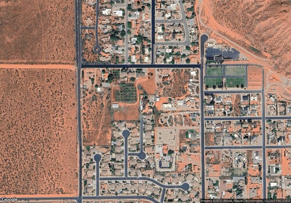
Map
Nearby Homes
- 469 N Bur Sage Trail
- 539 N Bur Sage Trail
- 480 W Tonapah Way
- 108 N Arrowhead Ln
- 782 E Crimson Flare Ln Unit 30
- 782 E Crimson Flare Ln
- 699 E Crimson Flare Ln
- 704 E Crimson Flare Ln Unit 2
- 704 E Crimson Flare Ln
- Deacon Plan at Desert Cove
- Darius Plan at Desert Cove
- Harris Plan at Desert Cove
- Powell Plan at Desert Cove
- Pinecrest Plan at Desert Cove
- 88 N Apex Ln
- TBD N Agave Way
- TBD Mallow Way
- 19 N 640 W
- TBD N Yucca Ct
- 576 W 30 S
- 291 N Falcon Ct
- 279 N Falcon Ct
- 290 N Falcon Ct
- 365 W 450 N
- 319 N Eagle Cove
- 331 N Eagle Cove
- 265 N Falcon Ct
- 305 N Eagle Cove
- 293 N Eagle Cove
- 293 N Eagle Cove
- 293 N Eagle Cove Unit 49
- 385 W 450 N
- 266 N Falcon Ct
- 253 N Falcon Ct
- 287 N Eagle Cove
- 334 N Eagle Cove
- 254 N Falcon Ct
- 269 N Eagle Cove
- 320 N Eagle Cove
- 237 N Falcon Ct