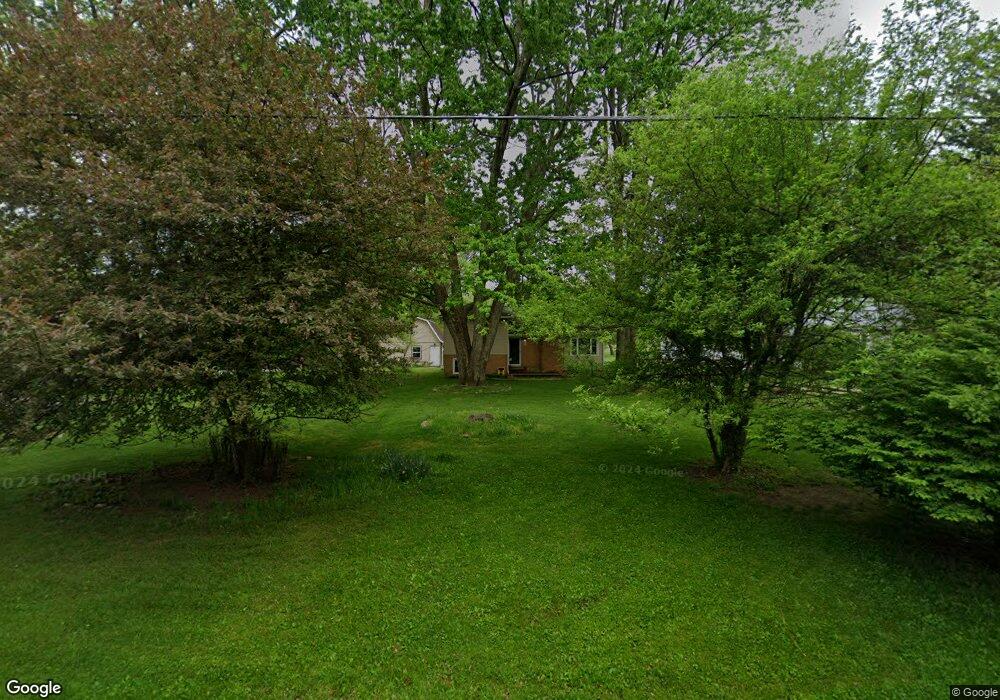
360 S Munroe Rd Tallmadge, OH 44278
Estimated Value: $242,759 - $307,000
3
Beds
2
Baths
1,148
Sq Ft
$237/Sq Ft
Est. Value
About This Home
This home is located at 360 S Munroe Rd, Tallmadge, OH 44278 and is currently estimated at $272,190, approximately $237 per square foot. 360 S Munroe Rd is a home located in Summit County with nearby schools including Tallmadge Middle School, Tallmadge High School, and Cornerstone Community School.
Ownership History
Date
Name
Owned For
Owner Type
Purchase Details
Closed on
Sep 11, 1995
Sold by
Rogers Donald L
Bought by
Lehrer Mark D and Dills Dane H
Current Estimated Value
Home Financials for this Owner
Home Financials are based on the most recent Mortgage that was taken out on this home.
Original Mortgage
$98,800
Interest Rate
7.88%
Mortgage Type
New Conventional
Create a Home Valuation Report for This Property
The Home Valuation Report is an in-depth analysis detailing your home's value as well as a comparison with similar homes in the area
Home Values in the Area
Average Home Value in this Area
Purchase History
| Date | Buyer | Sale Price | Title Company |
|---|---|---|---|
| Lehrer Mark D | $104,000 | -- |
Source: Public Records
Mortgage History
| Date | Status | Borrower | Loan Amount |
|---|---|---|---|
| Closed | Lehrer Mark D | $98,800 |
Source: Public Records
Tax History Compared to Growth
Tax History
| Year | Tax Paid | Tax Assessment Tax Assessment Total Assessment is a certain percentage of the fair market value that is determined by local assessors to be the total taxable value of land and additions on the property. | Land | Improvement |
|---|---|---|---|---|
| 2025 | $3,251 | $63,781 | $19,681 | $44,100 |
| 2024 | $3,251 | $63,781 | $19,681 | $44,100 |
| 2023 | $3,251 | $63,781 | $19,681 | $44,100 |
| 2022 | $3,371 | $54,093 | $16,401 | $37,692 |
| 2021 | $3,386 | $54,093 | $16,401 | $37,692 |
| 2020 | $3,360 | $54,090 | $16,400 | $37,690 |
| 2019 | $3,011 | $43,160 | $24,530 | $18,630 |
| 2018 | $2,661 | $43,160 | $24,530 | $18,630 |
| 2017 | $2,612 | $43,160 | $24,530 | $18,630 |
| 2016 | $2,812 | $41,950 | $24,530 | $17,420 |
| 2015 | $2,612 | $41,950 | $24,530 | $17,420 |
| 2014 | $2,595 | $41,950 | $24,530 | $17,420 |
| 2013 | $2,538 | $41,680 | $24,530 | $17,150 |
Source: Public Records
Map
Nearby Homes
- 288 S Munroe Rd
- 243 S Munroe Rd
- 810 Norton Dr
- 821 Olde Orchard Dr
- 523 S Munroe Rd
- 549 S Munroe Rd
- 786 Southeast Ave
- 213 Green Hill Dr
- 206 Fawnwood Dr
- 185 Reserve Dr
- 988 Beechwood Dr
- 1034 Southeast Ave
- 0 East Ave
- 353 Southeast Ave
- 750 Danner Rd
- 313 Southeast Ave
- 1075 Amy Trail
- 1029 Maple St
- 330 Hanna Dr
- 758 Humble Rd
- 346 S Munroe Rd
- 368 S Munroe Rd
- 372 S Munroe Rd
- 330 S Munroe Rd
- 363 S Munroe Rd
- 373 S Munroe Rd
- 383 S Munroe Rd
- 320 S Munroe Rd
- 392 S Munroe Rd
- 321 S Munroe Rd
- 710 Norton Dr
- 391 S Munroe Rd
- 382 S Munroe Rd
- 719 Olde Orchard Dr
- 723 Olde Orchard Dr
- 311 S Munroe Rd
- 722 Olde Orchard Dr
- 720 Norton Dr
- 401 S Munroe Rd
- 412 S Munroe Rd