Estimated Value: $103,000
Studio
--
Bath
5,640
Sq Ft
$18/Sq Ft
Est. Value
About This Home
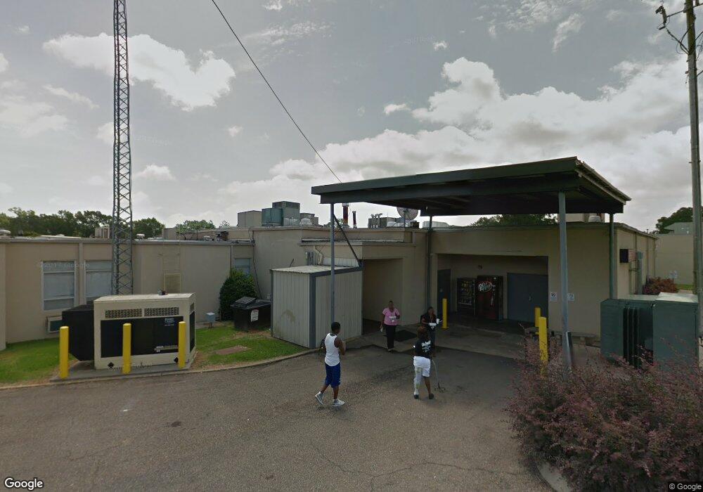
This home is located at 360 Simpson Highway 149 Unit 300, Magee, MS 39111 and is currently priced at $103,000, approximately $18 per square foot. 360 Simpson Highway 149 Unit 300 is a home located in Simpson County with nearby schools including Magee Elementary School, Magee Middle School, and Magee High School.
Ownership History
Date
Name
Owned For
Owner Type
Purchase Details
Closed on
Sep 4, 2025
Sold by
E P Property Llc
Bought by
Jordan Rocky
Current Estimated Value
Purchase Details
Closed on
Apr 11, 2025
Sold by
S S & C Management Llc
Bought by
E P Property Llc
Purchase Details
Closed on
Jul 19, 2024
Sold by
Allen Jean W
Bought by
S S & C Management Llc
Purchase Details
Closed on
Feb 8, 2008
Sold by
Boone Jeff and Boone Cethrine H
Bought by
Pruitt Charles and Pruitt Linda Owen
Create a Home Valuation Report for This Property
The Home Valuation Report is an in-depth analysis detailing your home's value as well as a comparison with similar homes in the area
Home Values in the Area
Average Home Value in this Area
Purchase History
We collect this data history from publicly available records. To have your information removed, we recommend requesting removal directly through your county’s website.
| Date | Buyer | Sale Price | Title Company |
|---|---|---|---|
| Jordan Rocky | -- | None Listed On Document | |
| Jordan Rocky | -- | None Listed On Document | |
| E P Property Llc | -- | None Listed On Document | |
| E P Property Llc | -- | None Listed On Document | |
| S S & C Management Llc | -- | None Listed On Document | |
| S S & C Management Llc | -- | None Listed On Document | |
| Pruitt Charles | -- | -- |
Source: Public Records
Tax History
| Year | Tax Paid | Tax Assessment Tax Assessment Total Assessment is a certain percentage of the fair market value that is determined by local assessors to be the total taxable value of land and additions on the property. | Land | Improvement |
|---|---|---|---|---|
| 2025 | $1,565 | $11,357 | $0 | $0 |
| 2024 | $1,565 | $9,947 | $0 | $0 |
| 2023 | $1,365 | $9,917 | $0 | $0 |
| 2022 | $1,957 | $14,640 | $0 | $0 |
| 2021 | $1,925 | $14,640 | $0 | $0 |
| 2020 | $1,785 | $13,572 | $0 | $0 |
| 2019 | $1,724 | $13,572 | $0 | $0 |
| 2018 | $1,724 | $13,572 | $0 | $0 |
| 2017 | $1,724 | $13,572 | $0 | $0 |
| 2016 | $1,737 | $14,121 | $0 | $0 |
| 2015 | $1,687 | $14,121 | $0 | $0 |
| 2014 | $1,687 | $14,121 | $0 | $0 |
Source: Public Records
Map
Nearby Homes
- 0 8th Ave Unit 4132915
- 1120 4th St SE
- 520 Choctaw St E
- 612 Laurel Dr SE
- 501 1st St SE
- 429 1st Ave NE
- 227 1st St SW
- 115 4th St NW
- 212 2nd Ave SW
- 210 N Jadek Dr NE
- 0 4th Ave SW
- 632 2nd Ave NW
- 522 Kennedy Dr NW
- 305 3rd Ave NW
- 600 Goodwater Rd NW
- 534 Simpson Highway 149
- 00 Hwy 49 N @13th St Se and 149 N
- 283 Simpson Highway 28 E
- 00 8th Ave
- 0 Eighth Ave Unit 1261667
- 360 Simpson Highway 149 Unit 399
- 360 Simpson Highway 149 Unit 370
- 360 Simpson Highway 149 Unit 340
- 360 Simpson Highway 149 Unit 170
- 360 Simpson Highway 149 Unit 200
- 360 Simpson Highway 149 Unit 299
- 360 Simpson Highway 149 Unit 270
- 360 Simpson Highway 149 Unit 250
- 360 Simpson Highway 149 Unit 390
- 360 Simpson Highway 149 Unit 150
- 360 Simpson Highway 149 Unit 140
- 360 Simpson Highway 149 Unit 100
- 360 Simpson Highway 149
- 1008 2nd St SE
- 1004 2nd St SE
- 1001 2nd St SE
- 308 10th Ave SE
- 1007 2nd St SE
- 1101 2nd St SE
- 304 9th Ave SE
Your Personal Tour Guide
Ask me questions while you tour the home.