360 Stone Rd Carnesville, GA 30521
Estimated Value: $281,000 - $656,708
2
Beds
2
Baths
2,440
Sq Ft
$219/Sq Ft
Est. Value
About This Home
This home is located at 360 Stone Rd, Carnesville, GA 30521 and is currently estimated at $534,677, approximately $219 per square foot. 360 Stone Rd is a home with nearby schools including Franklin County High School.
Ownership History
Date
Name
Owned For
Owner Type
Purchase Details
Closed on
Aug 11, 2017
Sold by
Macomson Mark L
Bought by
Howington Charlie D and Howington Kelly R
Current Estimated Value
Home Financials for this Owner
Home Financials are based on the most recent Mortgage that was taken out on this home.
Original Mortgage
$57,761
Interest Rate
4.03%
Mortgage Type
Commercial
Purchase Details
Closed on
Apr 24, 1995
Bought by
Macomson Mark
Create a Home Valuation Report for This Property
The Home Valuation Report is an in-depth analysis detailing your home's value as well as a comparison with similar homes in the area
Purchase History
| Date | Buyer | Sale Price | Title Company |
|---|---|---|---|
| Howington Charlie D | $55,400 | -- | |
| Macomson Mark | $22,800 | -- |
Source: Public Records
Mortgage History
| Date | Status | Borrower | Loan Amount |
|---|---|---|---|
| Closed | Howington Charlie D | $57,761 |
Source: Public Records
Tax History
| Year | Tax Paid | Tax Assessment Tax Assessment Total Assessment is a certain percentage of the fair market value that is determined by local assessors to be the total taxable value of land and additions on the property. | Land | Improvement |
|---|---|---|---|---|
| 2025 | $3,818 | $229,532 | $73,334 | $156,198 |
| 2024 | $3,674 | $205,973 | $60,369 | $145,604 |
| 2023 | $3,745 | $189,626 | $54,881 | $134,745 |
| 2022 | $3,484 | $167,478 | $42,584 | $124,894 |
| 2021 | $3,298 | $152,626 | $42,584 | $110,042 |
| 2020 | $3,325 | $145,685 | $35,643 | $110,042 |
| 2019 | $3,208 | $145,685 | $35,643 | $110,042 |
| 2018 | $245 | $32,436 | $32,436 | $0 |
| 2017 | $247 | $32,436 | $32,436 | $0 |
| 2016 | $214 | $32,422 | $32,422 | $0 |
| 2015 | -- | $32,422 | $32,422 | $0 |
| 2014 | -- | $32,422 | $32,422 | $0 |
| 2013 | -- | $32,422 | $32,422 | $0 |
Source: Public Records
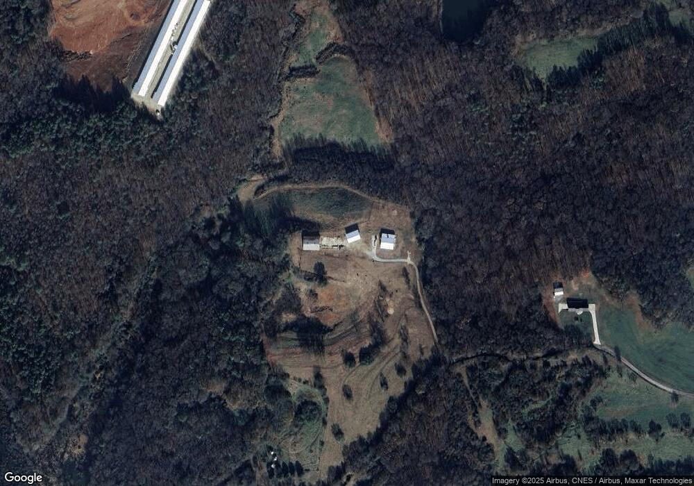
Map
Nearby Homes
- 5177 Sandy Cross Rd
- 555 Hubbard Rd
- 2985 Jackson Bridge Rd
- 365 Carroll Church Rd
- 2556 Turkey Creek Rd
- 0 Turkey Creek Rd Unit 10671197
- 0 Turkey Creek Rd Unit 7709794
- 0 Turkey Creek Rd Unit 26024108
- 9750 Lavonia Rd
- 140 Summit Ln
- 183 Crestview Dr
- 1291 Brays Lake Rd
- 160 Georgia 320
- 7 Crest View Cir
- 1898 Sandy Cross Rd
- 0 Noah Crow Rd Unit 10692629
- 0 New Franklin Church Rd
- 6.98 ACRES New Franklin Church Rd
- 6602 New Franklin Church Rd
- 597 Meadow Brook Ln
- 220 Stone Rd
- 555 Stone Rd
- 645 Murphy Rd
- 4855 Highway 145
- 5395 Highway 145
- 5289 Highway 145
- 4505 Highway 145
- 4671 Highway 145
- 681 Aderhold Rd
- 689 Aderhold Rd
- 4935 Highway 145
- 5244 Georgia 145
- 4850 Highway 145
- 4935 Georgia 145
- 4580 Highway 145
- 0 SE Dollie Phillips Rd Unit 8312488
- 1 Dollie Phillips Rd
- E Dollie Phillips Rd
- N Dollie Phillips Rd
- S Dollie Phillips Rd
Your Personal Tour Guide
Ask me questions while you tour the home.