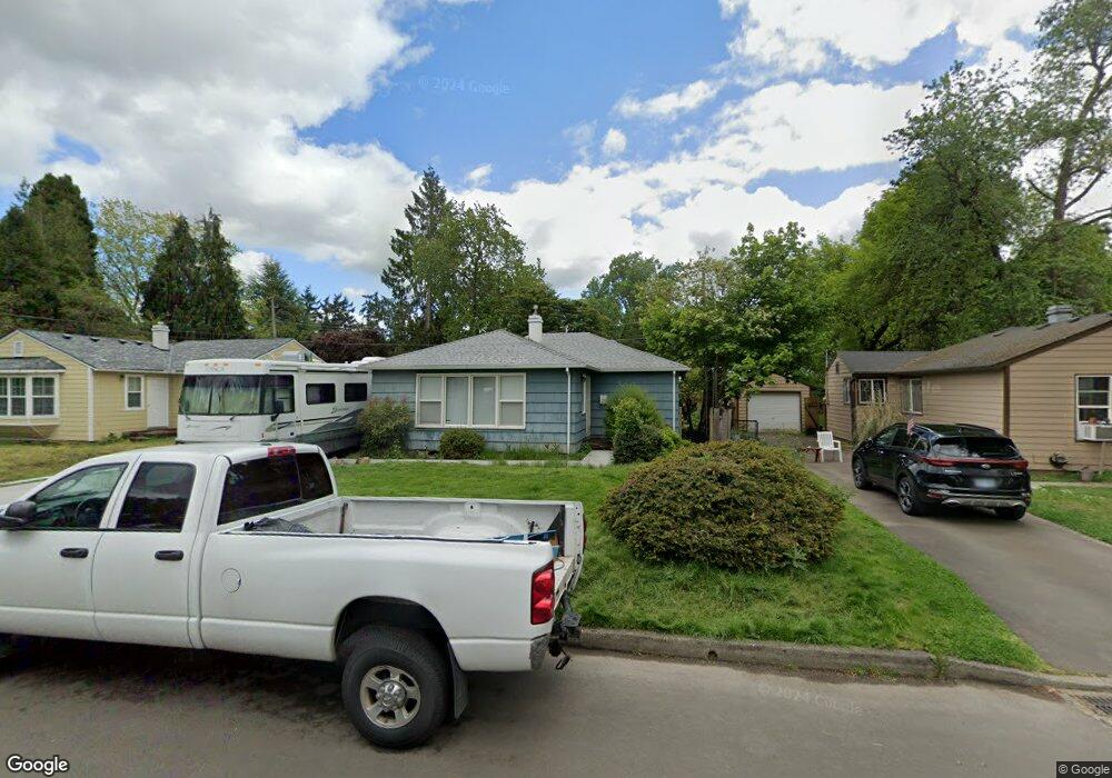
360 SW 132nd Ave Beaverton, OR 97005
Estimated Value: $399,000 - $462,000
3
Beds
1
Bath
1,132
Sq Ft
$379/Sq Ft
Est. Value
About This Home
This home is located at 360 SW 132nd Ave, Beaverton, OR 97005 and is currently estimated at $429,336, approximately $379 per square foot. 360 SW 132nd Ave is a home located in Washington County with nearby schools including Barnes Elementary School, Meadow Park Middle School, and Sunset High School.
Ownership History
Date
Name
Owned For
Owner Type
Purchase Details
Closed on
Nov 1, 2013
Sold by
Hickethier Shirley N
Bought by
Hickethier Mark D
Current Estimated Value
Home Financials for this Owner
Home Financials are based on the most recent Mortgage that was taken out on this home.
Original Mortgage
$104,000
Outstanding Balance
$28,071
Interest Rate
4.46%
Mortgage Type
New Conventional
Estimated Equity
$401,265
Create a Home Valuation Report for This Property
The Home Valuation Report is an in-depth analysis detailing your home's value as well as a comparison with similar homes in the area
Home Values in the Area
Average Home Value in this Area
Purchase History
| Date | Buyer | Sale Price | Title Company |
|---|---|---|---|
| Hickethier Mark D | $130,000 | Wfg Title |
Source: Public Records
Mortgage History
| Date | Status | Borrower | Loan Amount |
|---|---|---|---|
| Open | Hickethier Mark D | $104,000 |
Source: Public Records
Tax History Compared to Growth
Tax History
| Year | Tax Paid | Tax Assessment Tax Assessment Total Assessment is a certain percentage of the fair market value that is determined by local assessors to be the total taxable value of land and additions on the property. | Land | Improvement |
|---|---|---|---|---|
| 2025 | $3,645 | $199,400 | -- | -- |
| 2024 | $3,424 | $193,600 | -- | -- |
| 2023 | $3,424 | $187,970 | $0 | $0 |
| 2022 | $3,303 | $187,970 | $0 | $0 |
| 2021 | $3,184 | $177,190 | $0 | $0 |
| 2020 | $3,088 | $172,030 | $0 | $0 |
| 2019 | $2,990 | $167,020 | $0 | $0 |
| 2018 | $2,767 | $155,050 | $0 | $0 |
| 2017 | $2,668 | $150,540 | $0 | $0 |
| 2016 | $2,573 | $146,160 | $0 | $0 |
| 2015 | $2,482 | $141,910 | $0 | $0 |
| 2014 | $2,443 | $137,780 | $0 | $0 |
Source: Public Records
Map
Nearby Homes
- 13120 SW Rita Dr
- 245 SW 133rd Ave
- 12825 SW Evergreen St
- 938 SW Adrian Terrace
- 414 SW Frenwood Way
- 12614 NW Barnes Rd Unit 12
- 13115 NW Glenridge Dr
- 12618 NW Barnes Rd Unit 11
- 13720 SW Butner Rd
- 13860 SW Butner Rd
- 12622 NW Barnes Rd Unit 2
- 12622 NW Barnes Rd Unit 6
- 12620 NW Barnes Rd Unit 5
- 12604 NW Barnes Rd Unit 3
- 12634 NW Barnes Rd Unit 8
- 11990 SW Corby Dr Unit 6
- 11990 SW Corby (#6) Dr
- 13520 SW Devonshire Dr
- 425 NW 139th Ave
- 1605 SW Filmont Ave
- 340 SW 132nd Ave
- 380 SW 132nd Ave
- 320 SW 132nd Ave
- 400 SW 132nd Ave
- 355 SW 131st Ave
- 335 SW 131st Ave
- 375 SW 131st Ave
- 315 SW 131st Ave
- 355 SW 132nd Ave
- 395 SW 131st Ave
- 280 SW 132nd Ave
- 375 SW 132nd Ave
- 420 SW 132nd Ave
- 335 SW 132nd Ave
- 13135 SW Rita Dr
- 395 SW 132nd Ave
- 315 SW 132nd Ave
- 275 SW 131st Ave
- 260 SW 132nd Ave
- 275 SW 132nd Ave