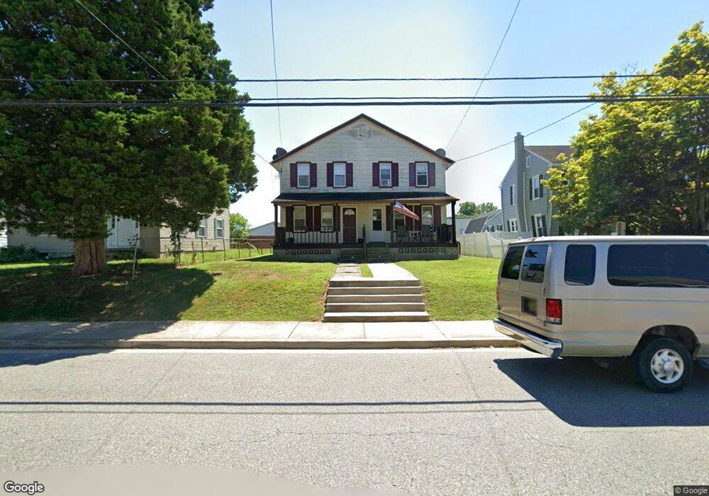
360 W Main St Elkton, MD 21921
Estimated Value: $163,794 - $193,000
--
Bed
1
Bath
1,376
Sq Ft
$131/Sq Ft
Est. Value
About This Home
This home is located at 360 W Main St, Elkton, MD 21921 and is currently estimated at $180,449, approximately $131 per square foot. 360 W Main St is a home located in Cecil County with nearby schools including Gilpin Manor Elementary School, Elkton Middle School, and Elkton High School.
Ownership History
Date
Name
Owned For
Owner Type
Purchase Details
Closed on
Mar 6, 2020
Sold by
1St Investments Llc
Bought by
Thomas Timothy J and Thomas Paula A
Current Estimated Value
Home Financials for this Owner
Home Financials are based on the most recent Mortgage that was taken out on this home.
Original Mortgage
$112,000
Outstanding Balance
$99,192
Interest Rate
3.5%
Mortgage Type
Commercial
Estimated Equity
$81,257
Purchase Details
Closed on
Mar 31, 1998
Sold by
Hunt Linfield V and Hunt Betty C
Bought by
Crouse Charles M and Crouse Jane E
Purchase Details
Closed on
Jul 13, 1989
Sold by
Hitman Rodger D
Bought by
Hunt Linfield and Hunt Betty C
Home Financials for this Owner
Home Financials are based on the most recent Mortgage that was taken out on this home.
Original Mortgage
$30,400
Interest Rate
10.03%
Create a Home Valuation Report for This Property
The Home Valuation Report is an in-depth analysis detailing your home's value as well as a comparison with similar homes in the area
Home Values in the Area
Average Home Value in this Area
Purchase History
| Date | Buyer | Sale Price | Title Company |
|---|---|---|---|
| Thomas Timothy J | $140,000 | Ardent Title Company Llc | |
| Crouse Charles M | $41,000 | -- | |
| Hunt Linfield | $38,000 | -- |
Source: Public Records
Mortgage History
| Date | Status | Borrower | Loan Amount |
|---|---|---|---|
| Open | Thomas Timothy J | $112,000 | |
| Previous Owner | Hunt Linfield | $30,400 |
Source: Public Records
Tax History Compared to Growth
Tax History
| Year | Tax Paid | Tax Assessment Tax Assessment Total Assessment is a certain percentage of the fair market value that is determined by local assessors to be the total taxable value of land and additions on the property. | Land | Improvement |
|---|---|---|---|---|
| 2025 | $1,782 | $103,033 | $0 | $0 |
| 2024 | $1,680 | $97,100 | $43,400 | $53,700 |
| 2023 | $1,648 | $94,733 | $0 | $0 |
| 2022 | $1,627 | $92,367 | $0 | $0 |
| 2021 | $1,598 | $90,000 | $41,400 | $48,600 |
| 2020 | $1,590 | $88,867 | $0 | $0 |
| 2019 | $1,570 | $87,733 | $0 | $0 |
| 2018 | $1,549 | $86,600 | $53,700 | $32,900 |
| 2017 | $1,463 | $86,600 | $0 | $0 |
| 2016 | $1,509 | $86,600 | $0 | $0 |
| 2015 | $1,509 | $89,400 | $0 | $0 |
| 2014 | $1,559 | $89,400 | $0 | $0 |
Source: Public Records
Map
Nearby Homes
- 4043A Blue Ball Rd
- 0 W Main St Unit MDCC2016174
- 134 Wesley St
- 115 Bethel St
- Lot#2, Lot#3, Lot#4 Old Elk Neck Rd
- 255 Douglas St
- 17 Kent Rd
- 14 Kent Rd
- 916 N Bridge St
- 1 Rene Carr St
- 12 Heather Ct
- 206 Whitehall Rd
- 2324 Oldfield Point Rd
- 5 Thyme St
- 434 Buttonwoods Rd
- 430 Buttonwoods Rd
- 00 Singerly Rd
- 114 Creswell Ave
- 106 Normira Ave
- 1 Robin Hood Dr