360 Woodstock Dr SW Unit 2 Atlanta, GA 30331
Baker Hills NeighborhoodEstimated Value: $193,000 - $239,000
3
Beds
3
Baths
1,063
Sq Ft
$197/Sq Ft
Est. Value
About This Home
This home is located at 360 Woodstock Dr SW Unit 2, Atlanta, GA 30331 and is currently estimated at $209,887, approximately $197 per square foot. 360 Woodstock Dr SW Unit 2 is a home located in Fulton County with nearby schools including L.P. Miles Elementary School, Young Middle School, and Mays High School.
Ownership History
Date
Name
Owned For
Owner Type
Purchase Details
Closed on
May 4, 1998
Sold by
First Indiana Bank
Bought by
Holmes Reginald B
Current Estimated Value
Home Financials for this Owner
Home Financials are based on the most recent Mortgage that was taken out on this home.
Original Mortgage
$63,650
Outstanding Balance
$12,437
Interest Rate
7.1%
Mortgage Type
FHA
Estimated Equity
$197,450
Purchase Details
Closed on
Jun 3, 1997
Sold by
Price Juanda M
Bought by
First Indiana Bank
Purchase Details
Closed on
Feb 25, 1993
Sold by
Smith Janice Y
Bought by
Price Juanda M
Home Financials for this Owner
Home Financials are based on the most recent Mortgage that was taken out on this home.
Original Mortgage
$42,550
Interest Rate
8.02%
Create a Home Valuation Report for This Property
The Home Valuation Report is an in-depth analysis detailing your home's value as well as a comparison with similar homes in the area
Home Values in the Area
Average Home Value in this Area
Purchase History
| Date | Buyer | Sale Price | Title Company |
|---|---|---|---|
| Holmes Reginald B | $65,000 | -- | |
| First Indiana Bank | $21,500 | -- | |
| Price Juanda M | $30,000 | -- |
Source: Public Records
Mortgage History
| Date | Status | Borrower | Loan Amount |
|---|---|---|---|
| Open | Holmes Reginald B | $63,650 | |
| Previous Owner | Price Juanda M | $42,550 |
Source: Public Records
Tax History Compared to Growth
Tax History
| Year | Tax Paid | Tax Assessment Tax Assessment Total Assessment is a certain percentage of the fair market value that is determined by local assessors to be the total taxable value of land and additions on the property. | Land | Improvement |
|---|---|---|---|---|
| 2025 | $2,350 | $62,400 | $18,880 | $43,520 |
| 2023 | $3,092 | $74,680 | $5,000 | $69,680 |
| 2022 | $2,292 | $56,640 | $14,880 | $41,760 |
| 2021 | $1,663 | $41,040 | $9,760 | $31,280 |
| 2020 | $1,408 | $34,360 | $7,360 | $27,000 |
| 2019 | $493 | $26,000 | $4,200 | $21,800 |
| 2018 | $745 | $18,000 | $2,400 | $15,600 |
| 2017 | $644 | $14,920 | $4,320 | $10,600 |
| 2016 | $646 | $14,920 | $4,320 | $10,600 |
| 2015 | $1,149 | $14,920 | $4,320 | $10,600 |
| 2014 | $676 | $14,920 | $4,320 | $10,600 |
Source: Public Records
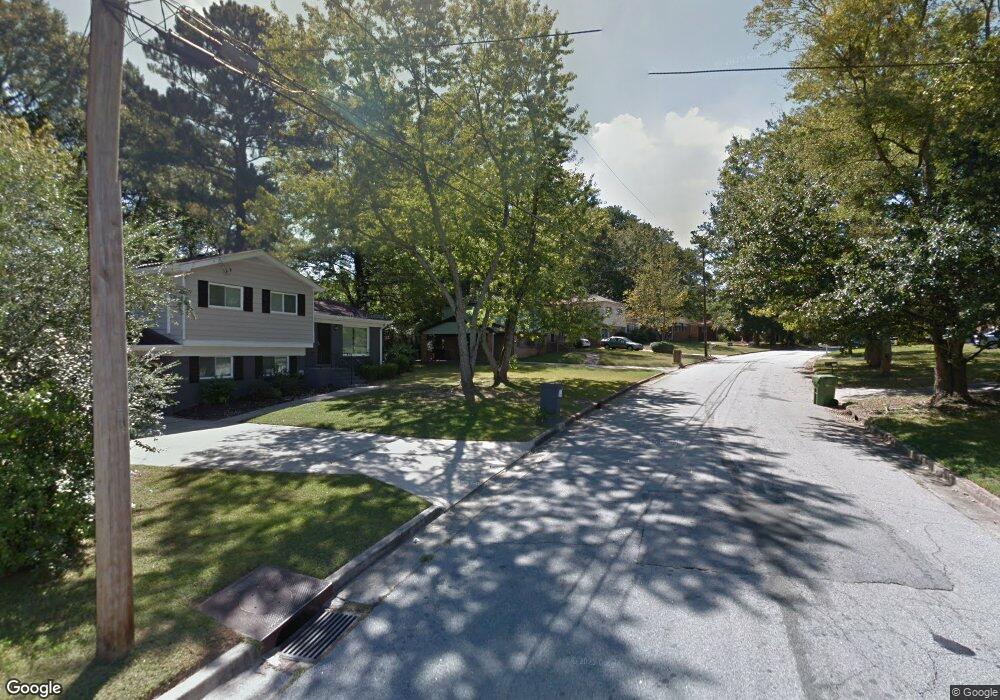
Map
Nearby Homes
- 3798 Bakers Ferry Rd SW
- 3911 Cornell Blvd SW
- 3981 Rutgers Dr SW
- 294 Leland Place SW
- 3961 Cornell Blvd SW
- 3877 Bakers Ferry
- 4063 Cornell Blvd SW
- 7098 Chara Ln SW
- 259 Tarragon Way SW
- 273 Fennel Way SW
- 3781 Martin Luther King jr Dr SW
- 3669 Martin Luther King Junior Dr SW
- 3808 Martin Luther King Junior Dr SW
- 4015 Bakers Ferry Rd SW
- 491 Bolton Rd NW
- 246 Argus Cir NW
- 3857 Kenner Dr SW
- 4020 Ester Dr SW
- 285 Argus Cir NW
- 366 Woodstock Dr SW
- 0 Woodstock Dr SW Unit 8233219
- 0 Woodstock Dr SW Unit 8070368
- 352 Woodstock Dr SW
- 3789 Bakers Ferry Rd SW
- 374 Woodstock Dr SW Unit 2
- 355 Woodstock Dr SW
- 355 Woodstock Dr SW Unit 2
- 361 Woodstock Dr SW
- 3787 Bakers Ferry Rd SW
- 3795 Bakers Ferry Rd SW
- 347 Woodstock Dr SW
- 367 Woodstock Dr SW
- 380 Woodstock Dr SW Unit 2
- 339 Woodstock Dr SW
- 336 Woodstock Dr SW
- 375 Woodstock Dr SW
- 3783 Bakers Ferry Rd SW
- 3803 Bakers Ferry Rd SW
- 331 Woodstock Dr SW