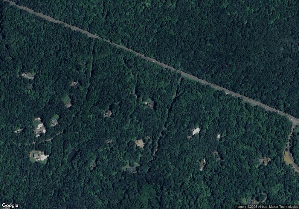
3600 Ameshia Dr Hillsborough, NC 27278
Eno NeighborhoodEstimated Value: $558,000 - $616,000
3
Beds
3
Baths
2,321
Sq Ft
$258/Sq Ft
Est. Value
About This Home
This home is located at 3600 Ameshia Dr, Hillsborough, NC 27278 and is currently estimated at $599,791, approximately $258 per square foot. 3600 Ameshia Dr is a home located in Orange County with nearby schools including River Park Elementary School, Orange Middle School, and Triangle Day School.
Ownership History
Date
Name
Owned For
Owner Type
Purchase Details
Closed on
Mar 22, 2021
Sold by
Whitfield Kathrya and Whitfield Michael
Bought by
Dethomas Michael J and Dethomas Gaile G
Current Estimated Value
Home Financials for this Owner
Home Financials are based on the most recent Mortgage that was taken out on this home.
Original Mortgage
$285,000
Outstanding Balance
$255,612
Interest Rate
2.73%
Mortgage Type
New Conventional
Estimated Equity
$344,179
Purchase Details
Closed on
Aug 22, 1988
Bought by
Cone
Create a Home Valuation Report for This Property
The Home Valuation Report is an in-depth analysis detailing your home's value as well as a comparison with similar homes in the area
Home Values in the Area
Average Home Value in this Area
Purchase History
| Date | Buyer | Sale Price | Title Company |
|---|---|---|---|
| Dethomas Michael J | $410,000 | Ntc Key West | |
| Cone | $134,600 | -- |
Source: Public Records
Mortgage History
| Date | Status | Borrower | Loan Amount |
|---|---|---|---|
| Open | Dethomas Michael J | $285,000 |
Source: Public Records
Tax History Compared to Growth
Tax History
| Year | Tax Paid | Tax Assessment Tax Assessment Total Assessment is a certain percentage of the fair market value that is determined by local assessors to be the total taxable value of land and additions on the property. | Land | Improvement |
|---|---|---|---|---|
| 2025 | $4,736 | $633,800 | $315,100 | $318,700 |
| 2024 | $3,842 | $376,900 | $103,500 | $273,400 |
| 2023 | $3,666 | $376,900 | $103,500 | $273,400 |
| 2022 | $3,651 | $376,900 | $103,500 | $273,400 |
| 2021 | $3,566 | $376,900 | $103,500 | $273,400 |
| 2020 | $3,508 | $348,900 | $94,600 | $254,300 |
| 2018 | $3,437 | $348,900 | $94,600 | $254,300 |
| 2017 | $3,421 | $348,900 | $94,600 | $254,300 |
| 2016 | $3,421 | $345,993 | $87,467 | $258,526 |
| 2015 | $3,443 | $345,993 | $87,467 | $258,526 |
| 2014 | -- | $345,993 | $87,467 | $258,526 |
Source: Public Records
Map
Nearby Homes
- 4108 Station Rd
- 2450 Maeve Ln
- 4318 Linden Rd
- 00 Linden Rd
- 3018 University Station Rd
- 0 Magnificent Trail
- 4621 Greenglen Dr
- 2086 Kelsey Ct
- 2302 Old Forest Dr
- 2069 Kelsey Ct
- 2037 Kelsey Ct
- 2051 Kelsey Ct
- 4720 Brigadoon Dr
- 2022 Kelsey Ct
- PARKETTE Plan at Williams Glen
- VANDERBURGH Plan at Williams Glen
- BALLENTINE Plan at Williams Glen
- BUCHANAN Plan at Williams Glen
- KENDALL Plan at Williams Glen
- CHANLEY Plan at Williams Glen
- 3609 Ameshia Dr
- 3603 Ameshia Dr
- 3719 Us Highway 70 E
- 3617 Ameshia Dr
- 3607 Ameshia Dr
- 3418 Seven Springs Rd
- 3725 Us Highway 70 E
- 3428 Seven Springs Rd
- 3401 Seven Springs Rd
- 3400 Seven Springs Rd Unit 27278
- 3810 U S 70
- 3322 Seven Springs Rd
- 0 Red Hill Ln Unit 1868967
- 0 Red Hill Ln Unit 1875947
- 0 Red Hill Ln Unit 1870723
- Lot 8 Red Hill Ln
- 0 Red Hill Ln Unit 1752815
- 0 Red Hill Ln Unit 587703
- 0 Red Hill Ln Unit 587708
- 0 Red Hill Ln Unit 1712892
