3600 Frank Barwick Rd La Grange, NC 28551
Estimated Value: $291,000
3
Beds
2
Baths
2,055
Sq Ft
$142/Sq Ft
Est. Value
About This Home
This home is located at 3600 Frank Barwick Rd, La Grange, NC 28551 and is currently estimated at $291,000, approximately $141 per square foot. 3600 Frank Barwick Rd is a home located in Lenoir County with nearby schools including La Grange Elementary School, E.B. Frink Middle School, and North Lenoir High School.
Ownership History
Date
Name
Owned For
Owner Type
Purchase Details
Closed on
Jun 25, 2021
Sold by
Albertson Ivy Jo Barwick and Barwick James Malcolm
Bought by
Albertson Ivy Jo Barwick and Barwick James Malcolm
Current Estimated Value
Create a Home Valuation Report for This Property
The Home Valuation Report is an in-depth analysis detailing your home's value as well as a comparison with similar homes in the area
Home Values in the Area
Average Home Value in this Area
Purchase History
| Date | Buyer | Sale Price | Title Company |
|---|---|---|---|
| Albertson Ivy Jo Barwick | -- | None Available |
Source: Public Records
Tax History Compared to Growth
Tax History
| Year | Tax Paid | Tax Assessment Tax Assessment Total Assessment is a certain percentage of the fair market value that is determined by local assessors to be the total taxable value of land and additions on the property. | Land | Improvement |
|---|---|---|---|---|
| 2025 | $2,217 | $300,756 | $62,260 | $238,496 |
| 2024 | $1,790 | $156,274 | $47,054 | $109,220 |
| 2023 | $1,480 | $157,108 | $47,888 | $109,220 |
| 2022 | $1,480 | $157,108 | $47,888 | $109,220 |
| 2021 | $1,480 | $157,108 | $47,888 | $109,220 |
| 2020 | $1,480 | $157,108 | $47,888 | $109,220 |
| 2019 | $1,480 | $157,108 | $47,888 | $109,220 |
| 2018 | $1,736 | $157,108 | $47,888 | $109,220 |
| 2017 | $280 | $157,108 | $47,888 | $109,220 |
| 2014 | $1,470 | $225,549 | $115,004 | $110,545 |
| 2013 | -- | $225,549 | $115,004 | $110,545 |
| 2011 | -- | $225,549 | $115,004 | $110,545 |
Source: Public Records
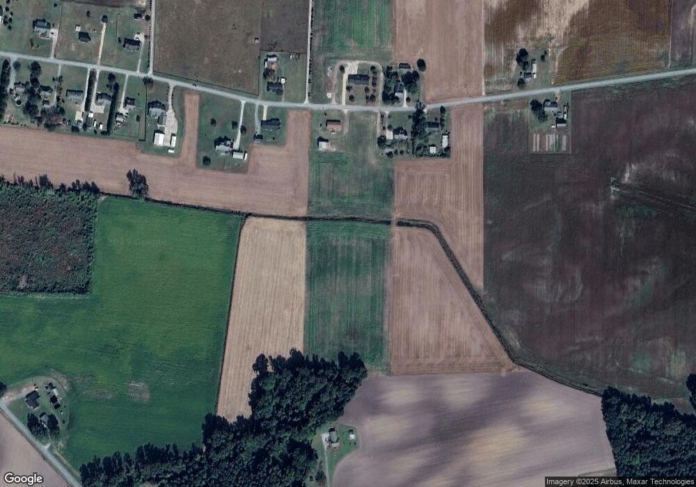
Map
Nearby Homes
- Lot #2 Albert Sugg Rd
- 3733 Fields Station Rd
- 6272 Highway 70 E
- 3619 S Caswell St
- 3263 N Carolina 903
- 4725 Packhouse Rd
- 3101 Marion Heights Dr
- 101 Forest Dr
- 5517 Bulltown Rd
- Hayden Plan at Blair Ridge
- Freeport Plan at Blair Ridge
- Cali Plan at Blair Ridge
- Belhaven Plan at Blair Ridge
- 210 Wood St
- 201 Wood St
- 202 Wood St
- 208 Wood St
- 217 Wood St
- 204 Wood St
- 205 Wood St
- 3566 Frank Barwick Rd
- 3577 Frank Barwick Rd
- 3633 Frank Barwick Rd
- 3553 Frank Barwick Rd
- 3651 Frank Barwick Rd
- 3508 Frank Barwick Rd
- 3503 Frank Barwick Rd
- 3677 Frank Barwick Rd
- 3695 Frank Barwick Rd
- 3694 Frank Barwick Rd
- 3614 Frank Barwick Rd
- 3707 Frank Barwick Rd
- 3710 Frank Barwick Rd
- 3719 Frank Barwick Rd
- 3662 Frank Barwick Rd
- 3731 Frank Barwick Rd
- 3744 Frank Barwick Rd
- 3743 Frank Barwick Rd
- 3772 Frank Barwick Rd
- 3804 Kennedy Home Rd