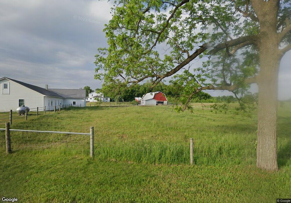
3600 W 050 N Lagrange, IN 46761
Estimated Value: $596,000 - $733,738
4
Beds
2
Baths
3,688
Sq Ft
$176/Sq Ft
Est. Value
About This Home
This home is located at 3600 W 050 N, Lagrange, IN 46761 and is currently estimated at $649,246, approximately $176 per square foot. 3600 W 050 N is a home located in LaGrange County with nearby schools including Meadowview Elementary School, Westview Elementary School, and Westview Junior/Senior High School.
Ownership History
Date
Name
Owned For
Owner Type
Purchase Details
Closed on
May 27, 2022
Sold by
Mast John O and Mast Freda M
Bought by
Mast Family Revocable Trust
Current Estimated Value
Purchase Details
Closed on
Oct 15, 2020
Sold by
Muntz Richard K and Muntz Debbie L
Bought by
Mast Family Trust
Create a Home Valuation Report for This Property
The Home Valuation Report is an in-depth analysis detailing your home's value as well as a comparison with similar homes in the area
Purchase History
| Date | Buyer | Sale Price | Title Company |
|---|---|---|---|
| Mast Family Revocable Trust | -- | New Title Company Name | |
| Mast Family Trust | $124,875 | Guardian Title Co |
Source: Public Records
Tax History Compared to Growth
Tax History
| Year | Tax Paid | Tax Assessment Tax Assessment Total Assessment is a certain percentage of the fair market value that is determined by local assessors to be the total taxable value of land and additions on the property. | Land | Improvement |
|---|---|---|---|---|
| 2024 | $3,660 | $517,200 | $55,200 | $462,000 |
| 2023 | $3,292 | $511,300 | $52,300 | $459,000 |
| 2022 | $3,096 | $464,000 | $44,900 | $419,100 |
| 2021 | $2,840 | $405,100 | $40,100 | $365,000 |
| 2020 | $2,747 | $391,600 | $40,000 | $351,600 |
| 2019 | $2,770 | $394,000 | $42,100 | $351,900 |
| 2018 | $2,638 | $369,600 | $35,600 | $334,000 |
| 2017 | $2,308 | $351,100 | $36,200 | $314,900 |
| 2016 | $2,189 | $335,800 | $31,700 | $304,100 |
| 2014 | $1,983 | $264,500 | $32,300 | $232,200 |
| 2013 | $1,983 | $263,300 | $30,400 | $232,900 |
Source: Public Records
Map
Nearby Homes
- 430 N 350 W
- 3465 W 050 N
- 3790 W 050 N
- 190 N 350 W
- 3785 W 050 N
- 3265 W 050 N
- 350 W North St
- 60 N 350 W
- 60 N 350 W
- 3675 W Us Highway 20
- 3705 W Us Highway 20
- 3625 W Us Highway 20
- 740 N 400 W
- 3515 W Us Highway 20
- 3455 W Us Highway 20
- 865 N 400 W
- 3755 W 100 N
- 3460 W Us Highway 20
- 3200 W 100 N
- 3175 W 050 N