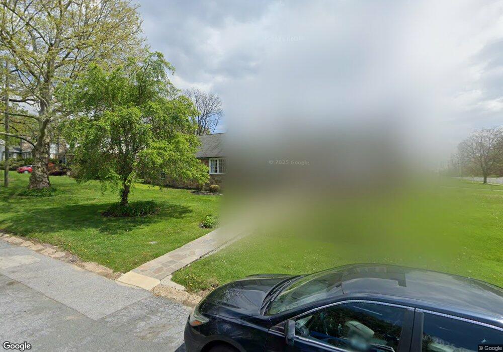
3601 Briarstone Rd Randallstown, MD 21133
Estimated Value: $356,404 - $400,000
Studio
--
Bath
1,668
Sq Ft
$229/Sq Ft
Est. Value
About This Home
This home is located at 3601 Briarstone Rd, Randallstown, MD 21133 and is currently estimated at $382,801, approximately $229 per square foot. 3601 Briarstone Rd is a home with nearby schools including Randallstown Elementary School, Deer Park Middle Magnet School, and Randallstown High School.
Ownership History
Date
Name
Owned For
Owner Type
Purchase Details
Closed on
Nov 3, 1997
Sold by
Powell Frederick M
Bought by
Federal National Mortgage Association
Current Estimated Value
Purchase Details
Closed on
Dec 7, 1993
Sold by
Rowe P F
Bought by
Powell F M
Home Financials for this Owner
Home Financials are based on the most recent Mortgage that was taken out on this home.
Original Mortgage
$83,600
Interest Rate
6.69%
Create a Home Valuation Report for This Property
The Home Valuation Report is an in-depth analysis detailing your home's value as well as a comparison with similar homes in the area
Home Values in the Area
Average Home Value in this Area
Purchase History
| Date | Buyer | Sale Price | Title Company |
|---|---|---|---|
| Federal National Mortgage Association | $87,200 | -- | |
| Powell F M | $88,000 | -- |
Source: Public Records
Mortgage History
| Date | Status | Borrower | Loan Amount |
|---|---|---|---|
| Previous Owner | Powell F M | $83,600 |
Source: Public Records
Tax History Compared to Growth
Tax History
| Year | Tax Paid | Tax Assessment Tax Assessment Total Assessment is a certain percentage of the fair market value that is determined by local assessors to be the total taxable value of land and additions on the property. | Land | Improvement |
|---|---|---|---|---|
| 2025 | $1,150 | $270,500 | -- | -- |
| 2024 | $1,150 | $251,900 | $75,200 | $176,700 |
| 2023 | $592 | $243,533 | $0 | $0 |
| 2022 | $1,242 | $235,167 | $0 | $0 |
| 2021 | $1,244 | $226,800 | $57,200 | $169,600 |
| 2020 | $1,244 | $226,267 | $0 | $0 |
| 2019 | $1,037 | $225,733 | $0 | $0 |
| 2018 | $867 | $225,200 | $57,200 | $168,000 |
| 2017 | $864 | $208,367 | $0 | $0 |
| 2016 | $464 | $191,533 | $0 | $0 |
| 2015 | $464 | $174,700 | $0 | $0 |
| 2014 | $464 | $174,700 | $0 | $0 |
Source: Public Records
Map
Nearby Homes
- 3603 Fieldstone Rd
- 3506 Bayer Ave
- 9012 Allenswood Rd
- 8908 Meadow Heights Rd
- 3332 Offutt Rd
- 8829 Sigrid Rd
- 5713 Old Court Rd
- 3320 Offutt Rd
- 3821 Brownhill Rd
- 8541 Lucerne Rd
- 8513 Charlton Rd
- 3312 Lauri Rd
- 0 Old Court Rd Parcel 631
- 9202 Samoset Rd
- 8504 Fieldway Dr
- 8711 Windsor Mill Rd
- 9208A Liberty Rd
- 9210 Liberty Rd
- 3950 Chaffey Rd
- 8305 Windsor Mill Rd
- 3603 Briarstone Rd
- 8816 Liberty Rd
- 3600 Briarstone Rd
- 3605 Briarstone Rd
- 3604 Briarstone Rd
- 3604 Rusty Rock Rd
- 8814 Liberty Rd
- 3606 Rusty Rock Rd
- 3606 Briarstone Rd
- 8823 Liberty Rd
- 3607 Briarstone Rd
- 8821 Liberty Rd
- 8825 Liberty Rd
- 3608 Rusty Rock Rd
- 3608 Briarstone Rd
- 8819 Liberty Rd
- 8830 Liberty Rd
- 3609 Briarstone Rd
- 3610 Rusty Rock Rd
- 3603 Stoneybrook Rd