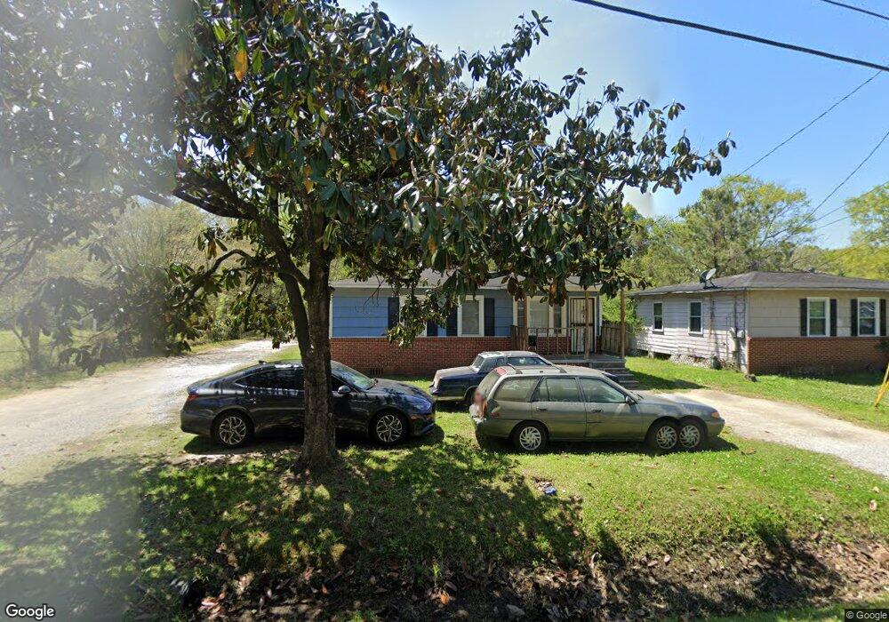
3601 Dial St Mobile, AL 36612
Whistler NeighborhoodEstimated Value: $54,868 - $93,000
Studio
1
Bath
1,443
Sq Ft
$54/Sq Ft
Est. Value
About This Home
This home is located at 3601 Dial St, Mobile, AL 36612 and is currently estimated at $77,717, approximately $53 per square foot. 3601 Dial St is a home located in Mobile County with nearby schools including Chastang-Fournier K-8 School, Vigor High School, and Prichard Preparatory School.
Ownership History
Date
Name
Owned For
Owner Type
Purchase Details
Closed on
Mar 24, 2003
Sold by
Model Grocery Llc
Bought by
Allen Cedric L and Allen Tawanda
Current Estimated Value
Home Financials for this Owner
Home Financials are based on the most recent Mortgage that was taken out on this home.
Original Mortgage
$39,000
Outstanding Balance
$19,714
Interest Rate
8.75%
Mortgage Type
Stand Alone First
Estimated Equity
$58,003
Purchase Details
Closed on
Jun 27, 2001
Sold by
Brown Robert Andrew
Bought by
Nicholson Jacqueline
Home Financials for this Owner
Home Financials are based on the most recent Mortgage that was taken out on this home.
Original Mortgage
$51,492
Interest Rate
7.14%
Mortgage Type
FHA
Purchase Details
Closed on
Apr 20, 2000
Sold by
Earl Kennedy Willie
Bought by
Brown Robert Andrew
Home Financials for this Owner
Home Financials are based on the most recent Mortgage that was taken out on this home.
Original Mortgage
$9,300
Interest Rate
8.27%
Mortgage Type
Seller Take Back
Create a Home Valuation Report for This Property
The Home Valuation Report is an in-depth analysis detailing your home's value as well as a comparison with similar homes in the area
Home Values in the Area
Average Home Value in this Area
Purchase History
| Date | Buyer | Sale Price | Title Company |
|---|---|---|---|
| Allen Cedric L | -- | -- | |
| Nicholson Jacqueline | -- | -- | |
| Brown Robert Andrew | $9,310 | -- |
Source: Public Records
Mortgage History
| Date | Status | Borrower | Loan Amount |
|---|---|---|---|
| Open | Allen Cedric L | $39,000 | |
| Previous Owner | Nicholson Jacqueline | $51,492 | |
| Previous Owner | Brown Robert Andrew | $9,300 |
Source: Public Records
Tax History
| Year | Tax Paid | Tax Assessment Tax Assessment Total Assessment is a certain percentage of the fair market value that is determined by local assessors to be the total taxable value of land and additions on the property. | Land | Improvement |
|---|---|---|---|---|
| 2025 | $179 | $3,850 | $500 | $3,350 |
| 2024 | $179 | $3,580 | $280 | $3,300 |
| 2023 | $156 | $3,460 | $280 | $3,180 |
| 2022 | $149 | $3,460 | $280 | $3,180 |
| 2021 | $149 | $3,460 | $280 | $3,180 |
| 2020 | $149 | $3,460 | $280 | $3,180 |
| 2019 | $147 | $3,420 | $0 | $0 |
| 2018 | $147 | $3,420 | $0 | $0 |
| 2017 | $132 | $3,140 | $0 | $0 |
| 2016 | $139 | $3,280 | $0 | $0 |
| 2013 | $123 | $2,860 | $0 | $0 |
Source: Public Records
Map
Nearby Homes
- 3514 Anton St
- 3728 Vinewood Dr
- 3531 Anton St
- 3603 St Stephens Rd
- 3318 Vestavia St
- 0 Bear Fork Rd Unit 7268786
- 1705 Wolf Ridge Rd
- 1659 Hand Ave
- 752 Elba Ave
- 1734 S Atmore Ave
- 814 S Wasson Ave
- 6632 Monarch Cir
- 638 Elba Ave
- 0 Junius Ln
- 2970 Persons St
- 2210 Wolf Ridge Rd
- 4304 Dalton Dr
- 4453 Myers Rd
- 4572 Myers Rd
- 0 Saint Stephens Rd Unit 385400
Your Personal Tour Guide
Ask me questions while you tour the home.