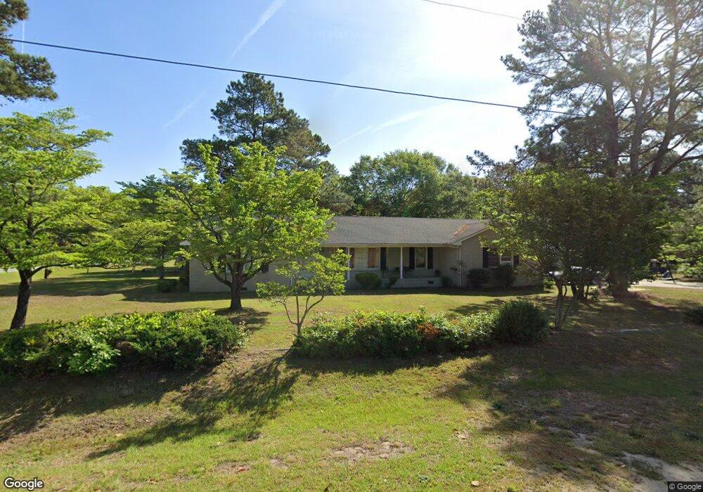
3601 Sand Clay Rd Kinston, NC 28504
Estimated Value: $177,000 - $235,004
3
Beds
3
Baths
1,840
Sq Ft
$117/Sq Ft
Est. Value
About This Home
This home is located at 3601 Sand Clay Rd, Kinston, NC 28504 and is currently estimated at $214,501, approximately $116 per square foot. 3601 Sand Clay Rd is a home located in Lenoir County with nearby schools including Banks Elementary School, E.B. Frink Middle School, and North Lenoir High School.
Ownership History
Date
Name
Owned For
Owner Type
Purchase Details
Closed on
Aug 18, 2020
Sold by
Rouse Keith B and Rouse Marilyn G
Bought by
Rco Rentals Llc
Current Estimated Value
Purchase Details
Closed on
Sep 8, 2015
Sold by
Commissioner Of Lenoir County
Bought by
Rouse Keith B and Rouse Marilyn G
Create a Home Valuation Report for This Property
The Home Valuation Report is an in-depth analysis detailing your home's value as well as a comparison with similar homes in the area
Home Values in the Area
Average Home Value in this Area
Purchase History
| Date | Buyer | Sale Price | Title Company |
|---|---|---|---|
| Rco Rentals Llc | -- | None Available | |
| Rouse Keith B | $58,000 | None Available |
Source: Public Records
Mortgage History
| Date | Status | Borrower | Loan Amount |
|---|---|---|---|
| Closed | Rouse Keith B | $0 |
Source: Public Records
Tax History Compared to Growth
Tax History
| Year | Tax Paid | Tax Assessment Tax Assessment Total Assessment is a certain percentage of the fair market value that is determined by local assessors to be the total taxable value of land and additions on the property. | Land | Improvement |
|---|---|---|---|---|
| 2025 | $2,289 | $162,904 | $18,201 | $144,703 |
| 2024 | $1,861 | $115,241 | $15,000 | $100,241 |
| 2023 | $1,861 | $115,241 | $15,000 | $100,241 |
| 2022 | $1,861 | $115,241 | $15,000 | $100,241 |
| 2021 | $1,861 | $115,241 | $15,000 | $100,241 |
| 2020 | $1,815 | $115,241 | $15,000 | $100,241 |
| 2019 | $1,815 | $115,241 | $15,000 | $100,241 |
| 2018 | $1,763 | $115,241 | $15,000 | $100,241 |
| 2017 | $1,769 | $115,241 | $15,000 | $100,241 |
| 2014 | $1,986 | $132,846 | $15,000 | $117,846 |
| 2013 | -- | $132,846 | $15,000 | $117,846 |
| 2011 | -- | $132,846 | $15,000 | $117,846 |
Source: Public Records
Map
Nearby Homes
- 3807 Random Rd
- 1955 Banks School Rd
- 3509 Lakeview Trail
- 1846 Crestview St
- 2100 Hwy 258 N
- 3307 Quail Ridge Rd
- 907 Sycamore Ave
- 2511 Register Dr
- 1404 Hull Rd
- 2193 Dogwood Ln
- 0 Hwy 258 N Unit LotWP001 22409279
- 2634 Forrest Dr
- 2200 Carriage Dr
- 2704 Forrest Dr
- 2544 Dogwood Ln
- Lot 2 Branchwood Dr
- 1 U S 258
- 2330 Villa Dr Unit 14a
- 2443 Creekside Rd
- 1324 S Wilshire Ct
- 3703 Random Rd
- 3713 Sand Clay Rd
- 3705 Random Rd
- 2010 Westwood Dr
- 3602 Sand Clay Rd
- 2100 Westwood Dr
- 3711 Sand Clay Rd
- 3607 Sand Clay Rd
- 2008 Westwood Dr
- 3708 Sand Clay Rd
- 2102 Westwood Dr
- 3709 Sand Clay Rd
- 2013 Westwood Dr
- 3706 Sand Clay Rd
- 2104 Westwood Dr
- 2011 Westwood Dr
- 2009 Westwood Dr
- 2101 Westwood Dr
- 1655 Us Highway 258 N
- 1663 Us Highway 258 N