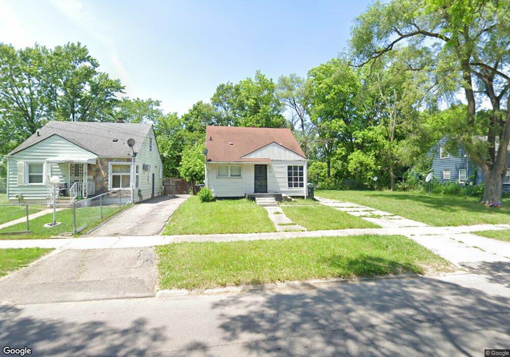
3601 Sterling St Flint, MI 48504
Sterling and Myrtle NeighborhoodEstimated Value: $31,000 - $58,000
3
Beds
1
Bath
928
Sq Ft
$50/Sq Ft
Est. Value
About This Home
This home is located at 3601 Sterling St, Flint, MI 48504 and is currently estimated at $46,140, approximately $49 per square foot. 3601 Sterling St is a home located in Genesee County with nearby schools including Brownell STEM Academy, Greater Heights Academy, and Eagle's Nest Academy.
Ownership History
Date
Name
Owned For
Owner Type
Purchase Details
Closed on
Jun 30, 2004
Sold by
Dismond Audrey E
Bought by
American General Finance
Current Estimated Value
Purchase Details
Closed on
May 7, 2002
Sold by
Dismond Chennelle
Bought by
Dismond Audrey E
Home Financials for this Owner
Home Financials are based on the most recent Mortgage that was taken out on this home.
Original Mortgage
$20,222
Interest Rate
7.16%
Purchase Details
Closed on
Aug 8, 2001
Sold by
Moore Mary D
Bought by
Lasalle National Bank and Salomon Brothers Mtg Securities Vii
Create a Home Valuation Report for This Property
The Home Valuation Report is an in-depth analysis detailing your home's value as well as a comparison with similar homes in the area
Home Values in the Area
Average Home Value in this Area
Purchase History
| Date | Buyer | Sale Price | Title Company |
|---|---|---|---|
| American General Finance | $26,000 | -- | |
| Dismond Audrey E | -- | -- | |
| Lasalle National Bank | $5,894 | -- |
Source: Public Records
Mortgage History
| Date | Status | Borrower | Loan Amount |
|---|---|---|---|
| Previous Owner | Dismond Audrey E | $20,222 |
Source: Public Records
Tax History
| Year | Tax Paid | Tax Assessment Tax Assessment Total Assessment is a certain percentage of the fair market value that is determined by local assessors to be the total taxable value of land and additions on the property. | Land | Improvement |
|---|---|---|---|---|
| 2025 | $793 | $10,500 | $0 | $0 |
| 2024 | $742 | $10,300 | $0 | $0 |
| 2023 | $732 | $8,100 | $0 | $0 |
| 2022 | $0 | $6,700 | $0 | $0 |
| 2021 | $739 | $6,500 | $0 | $0 |
| 2020 | $726 | $7,000 | $0 | $0 |
| 2019 | $717 | $6,900 | $0 | $0 |
| 2018 | $752 | $7,600 | $0 | $0 |
| 2017 | $788 | $0 | $0 | $0 |
| 2016 | $783 | $0 | $0 | $0 |
| 2015 | -- | $0 | $0 | $0 |
| 2014 | -- | $0 | $0 | $0 |
| 2012 | -- | $10,700 | $0 | $0 |
Source: Public Records
Map
Nearby Homes
- 3722 Sterling St
- 3420 Fleming Rd
- 1315 W Myrtle Ave
- 3221 Burgess St
- 3802 Milbourne Ave
- 3218 Trumbull Ave
- 3207 Milbourne Ave
- 3517 Leerda St
- 3505 Leerda St
- 3419 Leerda St
- 3413 Leerda St
- 3808 Comstock Ave
- 1818 Parkfront Dr
- 3506 Brownell Blvd
- 3422 Race St
- 1402 W Dartmouth St
- 2907 Trumbull Ave
- 1521 W Dartmouth St
- 3710 Kellar Ave
- 2006 W Mcclellan St
- 3521 Sterling St
- 3609 Sterling St
- 3517 Sterling St
- 3610 Forest Hill Ave
- 3614 Forest Hill Ave
- 3618 Forest Hill Ave
- 3606 Forest Hill Ave
- 3613 Sterling St
- 3513 Sterling St
- 3602 Forest Hill Ave
- 3622 Forest Hill Ave
- 3509 Sterling St
- 3617 Sterling St
- 3602 Sterling St
- 3606 Sterling St
- 3522 Sterling St
- 3610 Sterling St
- 3518 Sterling St
- 3626 Forest Hill Ave
- 3514 Forest Hill Ave
Your Personal Tour Guide
Ask me questions while you tour the home.