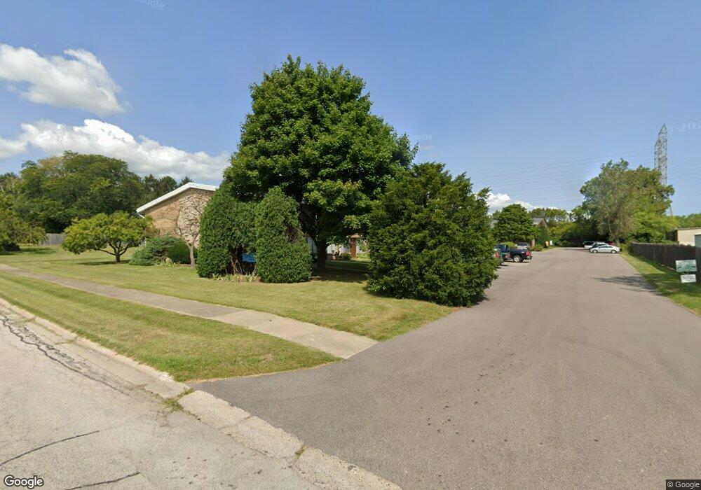
3602 16th St Zion, IL 60099
West Zion NeighborhoodEstimated Value: $1,351,000
--
Bed
--
Bath
16,048
Sq Ft
$84/Sq Ft
Est. Value
About This Home
This home is located at 3602 16th St, Zion, IL 60099 and is currently estimated at $1,351,000, approximately $84 per square foot. 3602 16th St is a home located in Lake County with nearby schools including Kenneth Murphy School, Beach Park Middle School, and Zion-Benton Township High School.
Ownership History
Date
Name
Owned For
Owner Type
Purchase Details
Closed on
Nov 3, 2003
Sold by
Bank Of Waukegan
Bought by
Longwood Properties Llc
Current Estimated Value
Home Financials for this Owner
Home Financials are based on the most recent Mortgage that was taken out on this home.
Original Mortgage
$1,541,175
Interest Rate
8%
Mortgage Type
Commercial
Purchase Details
Closed on
Aug 17, 1994
Sold by
Bank Of Waukegan
Bought by
Bank Of Waukegan
Purchase Details
Closed on
May 4, 1994
Sold by
Bank Of Waukegan
Bought by
Bank Of Waukegan
Create a Home Valuation Report for This Property
The Home Valuation Report is an in-depth analysis detailing your home's value as well as a comparison with similar homes in the area
Home Values in the Area
Average Home Value in this Area
Purchase History
| Date | Buyer | Sale Price | Title Company |
|---|---|---|---|
| Longwood Properties Llc | $88,000 | -- | |
| Bank Of Waukegan | -- | -- | |
| Bank Of Waukegan | -- | -- |
Source: Public Records
Mortgage History
| Date | Status | Borrower | Loan Amount |
|---|---|---|---|
| Previous Owner | Longwood Properties Llc | $1,541,175 |
Source: Public Records
Tax History Compared to Growth
Tax History
| Year | Tax Paid | Tax Assessment Tax Assessment Total Assessment is a certain percentage of the fair market value that is determined by local assessors to be the total taxable value of land and additions on the property. | Land | Improvement |
|---|---|---|---|---|
| 2024 | $25,999 | $220,021 | $37,232 | $182,789 |
| 2023 | $26,188 | $203,501 | $33,195 | $170,306 |
| 2022 | $26,188 | $200,711 | $45,996 | $154,715 |
| 2021 | $25,958 | $188,284 | $43,148 | $145,136 |
| 2020 | $25,180 | $177,092 | $40,583 | $136,509 |
| 2019 | $24,633 | $164,967 | $37,804 | $127,163 |
| 2018 | $26,027 | $164,967 | $37,804 | $127,163 |
| 2017 | $26,400 | $162,234 | $35,071 | $127,163 |
| 2016 | $26,757 | $175,233 | $31,837 | $143,396 |
| 2015 | $28,701 | $159,000 | $28,888 | $130,112 |
| 2014 | $28,259 | $162,317 | $33,484 | $128,833 |
| 2012 | $27,729 | $215,979 | $35,659 | $180,320 |
Source: Public Records
Map
Nearby Homes
- 4013 Ridge Rd
- 1304 Pelican Ct
- 1531 Southport Ct
- 3717 Willow Crest Dr
- 1521 Southport Ct
- 1524 Anderson Trail
- 1405 Lewis Ave
- 1302 Lorelei Dr
- 1817 Joppa Ave
- 1210 Lorelei Dr
- 1814 Jethro Ave
- 4539 Illinois 173
- 4533 Illinois 173
- 3903 9th St
- 1703 Hermon Ave
- 2010 Sunset Ct
- 41320 N Green Bay Rd
- 0 9th St
- 4109 Sarah Dr
- 2204 Joanna Ave
- 3602 16th St Unit One bedroom second floor
- 3602 16th St Unit 3
- 3602 16th St Unit 13
- 1515 Kenosha Rd
- 3604 16th St Unit 3604 16th Street
- 3521 16th St
- 0 Kenosha Rd Unit 9501448
- 0 Kenosha Rd Unit MRD11760979
- 3505 Il Route 173
- 3505 Illinois 173
- 1701 Kenosha Rd
- 3613 Harbor Ridge Dr
- 3611 Harbor Ridge Dr
- 3609 Harbor Ridge Dr
- 3607 Harbor Ridge Dr
- 3605 Harbor Ridge Dr
- 3603 Harbor Ridge Dr
- 3601 Harbor Ridge Dr
- 4000 Il Route 173
- 1711 Kenosha Rd