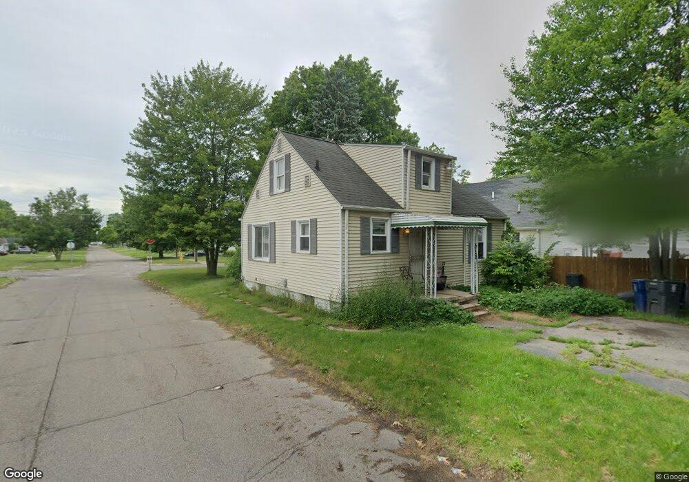
3602 Branch Rd Flint, MI 48506
Potter Longway NeighborhoodEstimated Value: $44,000 - $57,971
3
Beds
1
Bath
840
Sq Ft
$62/Sq Ft
Est. Value
About This Home
This home is located at 3602 Branch Rd, Flint, MI 48506 and is currently estimated at $52,243, approximately $62 per square foot. 3602 Branch Rd is a home located in Genesee County with nearby schools including Potter School, Richfield Public School Academy, and Richfield Early Learning Center.
Ownership History
Date
Name
Owned For
Owner Type
Purchase Details
Closed on
Dec 18, 2009
Sold by
The Bank Of New York
Bought by
Metcalfe William
Current Estimated Value
Purchase Details
Closed on
Dec 12, 2008
Sold by
Mortgage Electronic Registration Systems
Bought by
The Bank Of New York
Purchase Details
Closed on
Nov 12, 2008
Sold by
Kennedy Johnson
Bought by
Mortgage Electronic Registration Systems
Purchase Details
Closed on
Aug 1, 2006
Sold by
Taylor Victor H and Taylor Criste L
Bought by
Kennedy Johnson
Create a Home Valuation Report for This Property
The Home Valuation Report is an in-depth analysis detailing your home's value as well as a comparison with similar homes in the area
Home Values in the Area
Average Home Value in this Area
Purchase History
| Date | Buyer | Sale Price | Title Company |
|---|---|---|---|
| Metcalfe William | $11,000 | None Available | |
| The Bank Of New York | -- | E Title Agency | |
| Mortgage Electronic Registration Systems | $46,750 | None Available | |
| Kennedy Johnson | $76,500 | Blue Sky Title Llc |
Source: Public Records
Tax History
| Year | Tax Paid | Tax Assessment Tax Assessment Total Assessment is a certain percentage of the fair market value that is determined by local assessors to be the total taxable value of land and additions on the property. | Land | Improvement |
|---|---|---|---|---|
| 2025 | $677 | $22,000 | $0 | $0 |
| 2024 | $638 | $18,100 | $0 | $0 |
| 2023 | $632 | $12,800 | $0 | $0 |
| 2022 | $0 | $10,000 | $0 | $0 |
| 2021 | $635 | $9,500 | $0 | $0 |
| 2020 | $595 | $8,800 | $0 | $0 |
| 2019 | $632 | $8,600 | $0 | $0 |
| 2018 | $556 | $8,000 | $0 | $0 |
| 2017 | $545 | $0 | $0 | $0 |
| 2016 | $544 | $0 | $0 | $0 |
| 2015 | -- | $0 | $0 | $0 |
| 2014 | -- | $0 | $0 | $0 |
| 2012 | -- | $6,300 | $0 | $0 |
Source: Public Records
Map
Nearby Homes
- 3006 Agree Ave
- 3118 Wyoming Ave
- 3210 Wyoming Ave
- 3010 Wyoming Ave
- 2935 Richfield Rd
- 00 Richfield Rd
- 3018 Dakota Ave
- 3705 Aldon Ln
- 3413 Dakota Ave
- 2719 Branch Rd
- 3314 Dakota Ave
- 2701 Branch Rd
- 3602 Dakota Ave
- 3734 Craig Dr
- 3294 Huggins Ave
- 3301 N Center Rd
- 3149 Whittier Ave
- 2426 Hoff St
- 2217 Maryland Ave
- 3213 Holly Ave
- 3608 Branch Rd
- 3612 Branch Rd
- 3106 Mcclure Ave
- 3117 Mcclure Ave
- 3614 Branch Rd
- 3114 Mcclure Ave
- 3607 Sunridge Dr
- 3118 Mcclure Ave
- 3611 Sunridge Dr
- 3110 Mcclure Ave
- 3105 Arizona Ave
- 3101 Arizona Ave
- 3009 Mcclure Ave
- 3109 Arizona Ave
- 3122 Mcclure Ave
- 3615 Sunridge Dr
- 3113 Arizona Ave
- 3622 Branch Rd
- 3609 Branch Rd
- 3611 Branch Rd
Your Personal Tour Guide
Ask me questions while you tour the home.