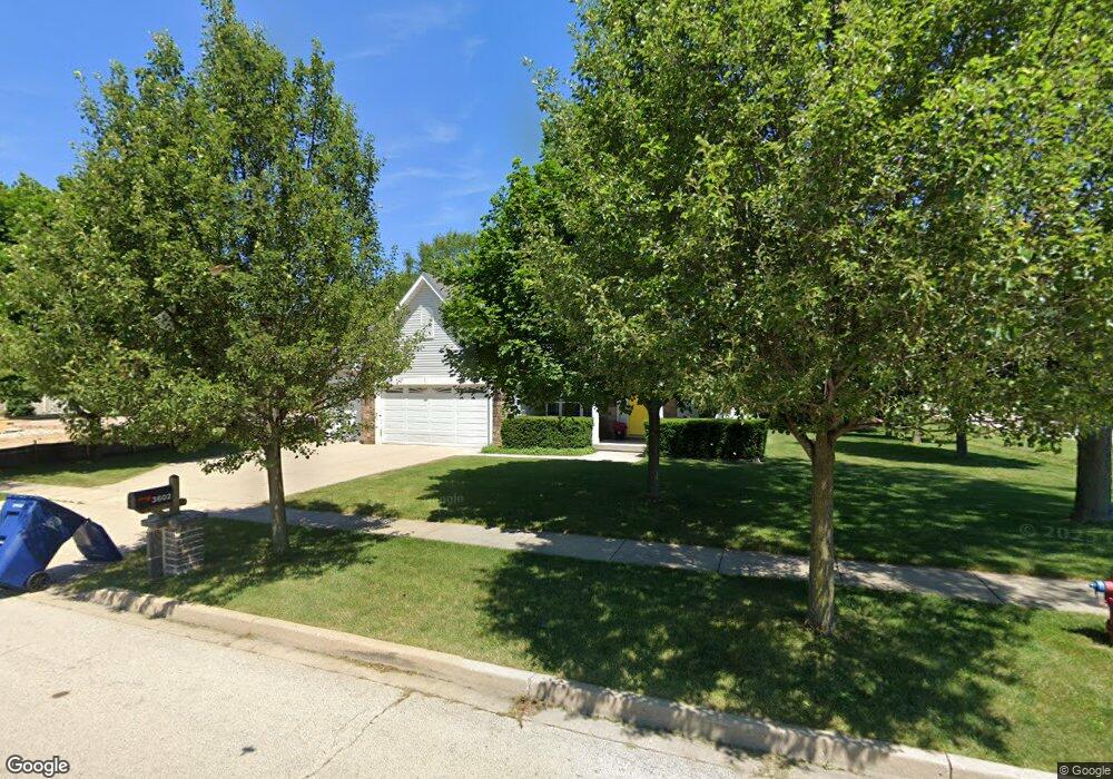
3602 Keith Ave Gurnee, IL 60031
Estimated Value: $420,000 - $462,000
4
Beds
3
Baths
2,559
Sq Ft
$175/Sq Ft
Est. Value
About This Home
This home is located at 3602 Keith Ave, Gurnee, IL 60031 and is currently estimated at $448,777, approximately $175 per square foot. 3602 Keith Ave is a home located in Lake County with nearby schools including Spaulding Elementary School, Viking Middle School, and Warren Township High School.
Ownership History
Date
Name
Owned For
Owner Type
Purchase Details
Closed on
Jan 26, 2006
Sold by
Brico Enterprises Inc
Bought by
Moreno Jose J and Moreno Maria S
Current Estimated Value
Home Financials for this Owner
Home Financials are based on the most recent Mortgage that was taken out on this home.
Original Mortgage
$314,693
Interest Rate
6%
Mortgage Type
Unknown
Create a Home Valuation Report for This Property
The Home Valuation Report is an in-depth analysis detailing your home's value as well as a comparison with similar homes in the area
Home Values in the Area
Average Home Value in this Area
Purchase History
| Date | Buyer | Sale Price | Title Company |
|---|---|---|---|
| Moreno Jose J | $393,500 | First American Title |
Source: Public Records
Mortgage History
| Date | Status | Borrower | Loan Amount |
|---|---|---|---|
| Previous Owner | Moreno Jose J | $314,693 |
Source: Public Records
Tax History
| Year | Tax Paid | Tax Assessment Tax Assessment Total Assessment is a certain percentage of the fair market value that is determined by local assessors to be the total taxable value of land and additions on the property. | Land | Improvement |
|---|---|---|---|---|
| 2024 | $12,450 | $140,831 | $16,633 | $124,198 |
| 2023 | $11,698 | $130,750 | $15,442 | $115,308 |
| 2022 | $11,698 | $122,404 | $15,885 | $106,519 |
| 2021 | $10,316 | $114,071 | $14,804 | $99,267 |
| 2020 | $10,004 | $111,267 | $14,440 | $96,827 |
| 2019 | $9,758 | $108,037 | $14,021 | $94,016 |
| 2018 | $10,053 | $109,966 | $13,112 | $96,854 |
| 2017 | $9,954 | $106,815 | $12,736 | $94,079 |
| 2016 | $9,672 | $102,059 | $12,169 | $89,890 |
| 2015 | $9,416 | $96,793 | $11,541 | $85,252 |
| 2014 | $8,046 | $86,234 | $11,395 | $74,839 |
| 2012 | $7,623 | $86,894 | $11,482 | $75,412 |
Source: Public Records
Map
Nearby Homes
- 3821 Cheyenne Rd
- 1430 N Green Bay Rd
- 36107 N Green Bay Rd
- 3517 Glen Flora Ave
- 12933 W Polo Ave
- 1070 Belle Plaine Ave
- 35400 N Green Bay Rd
- 3370 W Brooke Ave Unit 410
- 963 Belle Plaine Ave
- 3877 Grandview Ave
- 2928 W Country Club Ave
- 3000 W Country Club Ave
- 2946 W Country Club Ave
- 3320 Sunset Ave
- 2810 W Atlantic Ave
- 13360 W Blanchard Rd
- 12535 W Blanchard Rd
- 36245 N Green Bay Rd
- 2508 W Atlantic Ave
- 1913 Apache Rd
- 3618 Keith Ave
- 1726 Belle Plaine Ave
- 3544 Keith Ave
- 3636 Keith Ave
- 1616 Belle Plaine Ave
- 1719 Belle Plaine Ave
- 1617 Belle Plaine Ave
- 3652 Keith Ave
- 3655 Johns Manville Ave
- 3575 Keith Ave
- 3600 Atlantic Ave
- 3585 Johns Manville Ave
- 3668 Keith Ave
- 3606 Atlantic Ave
- 1712 Belle Plaine Ave
- 3590 Atlantic Ave
- 3559 Keith Ave
- 3626 Atlantic Ave
- 3671 Johns Manville Ave
- 1735 Belle Plaine Ave
Your Personal Tour Guide
Ask me questions while you tour the home.