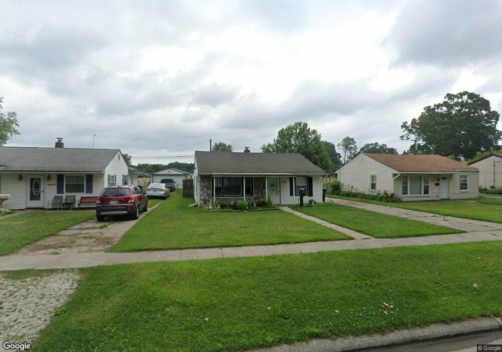
36030 Glen St Westland, MI 48186
Estimated Value: $137,000 - $162,000
--
Bed
1
Bath
837
Sq Ft
$176/Sq Ft
Est. Value
About This Home
This home is located at 36030 Glen St, Westland, MI 48186 and is currently estimated at $147,717, approximately $176 per square foot. 36030 Glen St is a home located in Wayne County with nearby schools including Albert Schweitzer Elementary School, Marshall Upper Elementary School, and Adlai Stevenson Middle School.
Ownership History
Date
Name
Owned For
Owner Type
Purchase Details
Closed on
Oct 16, 2024
Sold by
Wayne County Treasurer
Bought by
1880 Emmons Llc and Beydoun
Current Estimated Value
Purchase Details
Closed on
Nov 2, 2018
Sold by
Studer Donald W and Studer Sonja
Bought by
Moore George Foster and Moore Cheryl Ann
Purchase Details
Closed on
Apr 15, 2013
Sold by
Sluder Donald W and Sluder Sonja
Bought by
Moore George Foster and Moore Cheryl Ann
Purchase Details
Closed on
May 14, 2004
Sold by
Carpenter Doug and Carpenter Lori D
Bought by
Sluder Donald W and Sluder Sonja
Create a Home Valuation Report for This Property
The Home Valuation Report is an in-depth analysis detailing your home's value as well as a comparison with similar homes in the area
Home Values in the Area
Average Home Value in this Area
Purchase History
| Date | Buyer | Sale Price | Title Company |
|---|---|---|---|
| 1880 Emmons Llc | $98,500 | None Listed On Document | |
| Moore George Foster | $38,000 | None Listed On Document | |
| Moore George Foster | $38,000 | None Listed On Document | |
| Moore George Foster | -- | None Available | |
| Sluder Donald W | $103,000 | Multiple |
Source: Public Records
Tax History Compared to Growth
Tax History
| Year | Tax Paid | Tax Assessment Tax Assessment Total Assessment is a certain percentage of the fair market value that is determined by local assessors to be the total taxable value of land and additions on the property. | Land | Improvement |
|---|---|---|---|---|
| 2025 | $1,181 | $57,700 | $0 | $0 |
| 2024 | $1,181 | $52,700 | $0 | $0 |
| 2023 | $1,146 | $47,100 | $0 | $0 |
| 2022 | $1,540 | $41,600 | $0 | $0 |
| 2021 | $1,496 | $38,400 | $0 | $0 |
| 2020 | $1,494 | $34,200 | $0 | $0 |
| 2019 | $1,373 | $30,800 | $0 | $0 |
| 2018 | $940 | $30,600 | $0 | $0 |
| 2017 | $805 | $27,400 | $0 | $0 |
| 2016 | $1,053 | $24,200 | $0 | $0 |
| 2015 | $1,846 | $22,120 | $0 | $0 |
| 2013 | $1,792 | $17,920 | $0 | $0 |
| 2012 | $1,257 | $18,110 | $0 | $0 |
Source: Public Records
Map
Nearby Homes
- 36020 Glen St
- 36293 Monroe Ave
- 36323 Monroe Ave
- 36034 Rolf St
- 1510 S Crown St
- 1519 S Dowling St
- 1825 Liddicot Ave
- 35236 Glen St
- 1853 S Linville Ave
- 35193 Sansburn St
- 1811 S Harvey Ave
- 35608 Somerset St
- 32730 Palmer Rd
- 36012 Manila Ave
- 36255 Manila Ave
- 1645 Regene St
- 35130 June Dr
- 35833 Farragut Ave
- 1909 S Christine
- 344 S Christine