3604 Asher St Upper Marlboro, MD 20772
Estimated Value: $526,123 - $585,000
4
Beds
4
Baths
1,932
Sq Ft
$289/Sq Ft
Est. Value
About This Home
This home is located at 3604 Asher St, Upper Marlboro, MD 20772 and is currently estimated at $558,531, approximately $289 per square foot. 3604 Asher St is a home located in Prince George's County with nearby schools including Perrywood Elementary School, Kettering Middle School, and Dr. Henry A. Wise Jr. High School.
Ownership History
Date
Name
Owned For
Owner Type
Purchase Details
Closed on
Jun 11, 2009
Sold by
Suntrust Bank
Bought by
Locks Francis and Locks Andrea
Current Estimated Value
Home Financials for this Owner
Home Financials are based on the most recent Mortgage that was taken out on this home.
Original Mortgage
$319,088
Outstanding Balance
$202,258
Interest Rate
4.91%
Mortgage Type
FHA
Estimated Equity
$356,274
Purchase Details
Closed on
Feb 2, 2001
Sold by
Ddv Developers Llc
Bought by
Saulsberry Derek G
Create a Home Valuation Report for This Property
The Home Valuation Report is an in-depth analysis detailing your home's value as well as a comparison with similar homes in the area
Home Values in the Area
Average Home Value in this Area
Purchase History
| Date | Buyer | Sale Price | Title Company |
|---|---|---|---|
| Locks Francis | $325,000 | -- | |
| Suntrust Bank | $385,000 | -- | |
| Saulsberry Derek G | $229,858 | -- |
Source: Public Records
Mortgage History
| Date | Status | Borrower | Loan Amount |
|---|---|---|---|
| Open | Suntrust Bank | $319,088 | |
| Closed | Locks Francis | $319,088 |
Source: Public Records
Tax History
| Year | Tax Paid | Tax Assessment Tax Assessment Total Assessment is a certain percentage of the fair market value that is determined by local assessors to be the total taxable value of land and additions on the property. | Land | Improvement |
|---|---|---|---|---|
| 2025 | $5,309 | $435,200 | $151,200 | $284,000 |
| 2024 | $5,309 | $406,400 | -- | -- |
| 2023 | $5,076 | $377,600 | $0 | $0 |
| 2022 | $4,790 | $348,800 | $101,200 | $247,600 |
| 2021 | $4,843 | $339,433 | $0 | $0 |
| 2020 | $4,770 | $330,067 | $0 | $0 |
| 2019 | $4,670 | $320,700 | $100,600 | $220,100 |
| 2018 | $4,484 | $298,400 | $0 | $0 |
| 2017 | $4,324 | $276,100 | $0 | $0 |
| 2016 | -- | $253,800 | $0 | $0 |
| 2015 | $4,869 | $253,800 | $0 | $0 |
| 2014 | $4,869 | $253,800 | $0 | $0 |
Source: Public Records
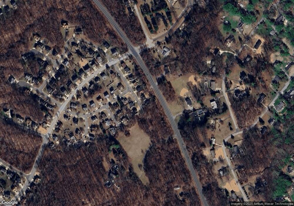
Map
Nearby Homes
- 4001 Largo Rd
- 3901 Largo Rd
- 3204 Carlene Ct
- 4482 Lord Loudoun Ct
- 14000 Lord Marlborough Place
- 4411 Largo Rd
- 3807 Pentland Hills Dr
- 14134 Reverend Rainsford Ct
- 13542 Lord Baltimore Place
- 14653 Colonels Choice
- 14416 Colonel Fenwick Ct
- 15301 Kettlebaston Ln
- 4720 Colonel Ashton Place
- 4411 Beckenham Place
- 4808 Colonel Brooke Ct
- 15312 Sir Edwards Dr
- 13900 King George Way
- 3617 Pentland Hills Dr
- 13805 Fareham Ln
- 15311 Sir Edwards Dr
- 3602 Asher St
- 3605 Asher St
- 3603 Asher St
- 14203 Christian St
- 3506 Asher St
- 3604 Hillary St
- 3602 Hillary St
- 3504 Asher St
- 14201 Christian St
- 14204 Christian St
- 3510 Largo Rd
- 3502 Asher St
- 14202 Christian St
- 3600 Largo Rd
- 3712 Largo Rd
- 14200 Christian St
- 3603 Hillary St
- 3500 Asher St
- 3501 Asher St
- 3601 Hillary St
Your Personal Tour Guide
Ask me questions while you tour the home.