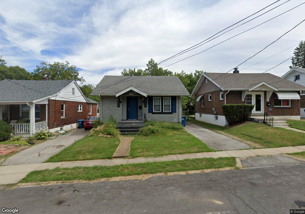
3604 Roy Ave Saint Louis, MO 63114
Estimated Value: $57,000 - $119,000
1
Bed
2
Baths
672
Sq Ft
$136/Sq Ft
Est. Value
About This Home
This home is located at 3604 Roy Ave, Saint Louis, MO 63114 and is currently estimated at $91,496, approximately $136 per square foot. 3604 Roy Ave is a home located in St. Louis County with nearby schools including Marvin Elementary School, Ritenour Middle School, and Ritenour Senior High School.
Ownership History
Date
Name
Owned For
Owner Type
Purchase Details
Closed on
Aug 25, 2021
Sold by
Markland Barbara J
Bought by
Tnt Property Management Llc
Current Estimated Value
Purchase Details
Closed on
Nov 3, 1997
Sold by
Reando Vella M and Reando Shirley
Bought by
Markland Barbara J
Home Financials for this Owner
Home Financials are based on the most recent Mortgage that was taken out on this home.
Original Mortgage
$30,879
Interest Rate
7.27%
Mortgage Type
FHA
Create a Home Valuation Report for This Property
The Home Valuation Report is an in-depth analysis detailing your home's value as well as a comparison with similar homes in the area
Home Values in the Area
Average Home Value in this Area
Purchase History
| Date | Buyer | Sale Price | Title Company |
|---|---|---|---|
| Tnt Property Management Llc | $12,250 | None Available | |
| Markland Barbara J | -- | -- |
Source: Public Records
Mortgage History
| Date | Status | Borrower | Loan Amount |
|---|---|---|---|
| Previous Owner | Markland Barbara J | $30,879 |
Source: Public Records
Tax History
| Year | Tax Paid | Tax Assessment Tax Assessment Total Assessment is a certain percentage of the fair market value that is determined by local assessors to be the total taxable value of land and additions on the property. | Land | Improvement |
|---|---|---|---|---|
| 2025 | $977 | $22,080 | $7,620 | $14,460 |
| 2024 | $977 | $11,120 | $1,520 | $9,600 |
| 2023 | $958 | $11,120 | $1,520 | $9,600 |
| 2022 | $934 | $9,500 | $3,040 | $6,460 |
| 2021 | $934 | $9,500 | $3,040 | $6,460 |
| 2020 | $1,118 | $10,510 | $3,800 | $6,710 |
| 2019 | $1,106 | $10,510 | $3,800 | $6,710 |
| 2018 | $1,153 | $9,880 | $1,900 | $7,980 |
| 2017 | $1,101 | $9,880 | $1,900 | $7,980 |
| 2016 | $1,070 | $9,650 | $2,280 | $7,370 |
Source: Public Records
Map
Nearby Homes
- 9056 Mcnulty Dr
- 3630 Brown Rd
- 8811 North Ave
- 9047 Kathlyn Dr
- 8910 Harold Dr
- 9207 Bataan Dr
- 9225 Corregidor Ave
- 3315 Eminence Blvd
- 9310 Shirley Gardens Dr
- 3311 Eminence Blvd
- 9121 Guthrie Ave
- 8710 Ezra Dr
- 8728 Susan Ave
- 3304 S Gordon Ct
- 8647 Belcrest Ln
- 9422 Chester Ave
- 9406 Bataan Dr
- 9017 Tudor Ave
- 8570 North Ave
- 3355 Edmundson Rd
Your Personal Tour Guide
Ask me questions while you tour the home.