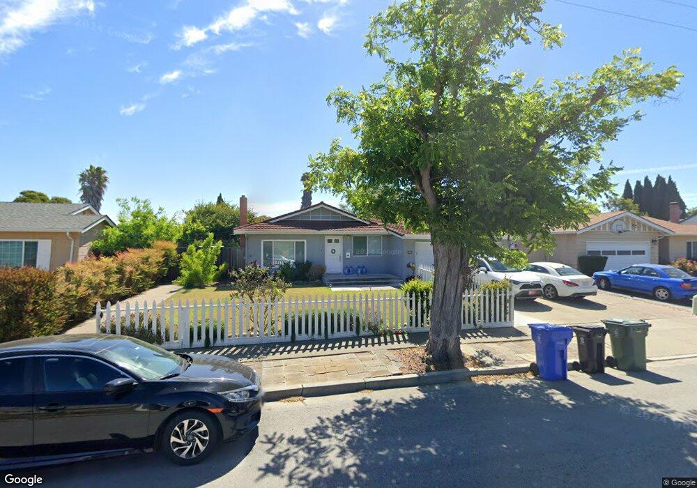
36040 Burning Tree Dr Newark, CA 94560
Newark AreaEstimated Value: $1,253,000 - $1,365,000
About This Home
This home is located at 36040 Burning Tree Dr, Newark, CA 94560 and is currently estimated at $1,317,336, approximately $1,072 per square foot. 36040 Burning Tree Dr is a home located in Alameda County with nearby schools including Lincoln Elementary School, Newark Junior High School, and Newark Memorial High School.
Ownership History
We collect this data history from publicly available records. To have your information removed, we recommend requesting removal directly through your county’s website.
Purchase Details
Home Financials for this Owner
Home Financials are based on the most recent Mortgage that was taken out on this home.Purchase Details
Home Financials for this Owner
Home Financials are based on the most recent Mortgage that was taken out on this home.Purchase Details
Home Financials for this Owner
Home Financials are based on the most recent Mortgage that was taken out on this home.Purchase Details
Purchase Details
Home Values in the Area
Average Home Value in this Area
Purchase History
We collect this data history from publicly available records. To have your information removed, we recommend requesting removal directly through your county’s website.
| Date | Buyer | Sale Price | Title Company |
|---|---|---|---|
| $915,000 | Old Republic Title Company | ||
| $750,000 | Chicago Title Company | ||
| -- | Chicago Title Company | ||
| -- | None Available | ||
| -- | -- |
Mortgage History
We collect this data history from publicly available records. To have your information removed, we recommend requesting removal directly through your county’s website.
| Date | Status | Borrower | Loan Amount |
|---|---|---|---|
| Open | $526,940 | ||
| Closed | $544,755 | ||
| Closed | $560,000 | ||
| Closed | $571,000 | ||
| Closed | $575,000 | ||
| Previous Owner | $593,500 | ||
| Previous Owner | $600,000 |
Tax History
We collect this data history from publicly available records. To have your information removed, we recommend requesting removal directly through your county’s website.
| Year | Tax Paid | Tax Assessment Tax Assessment Total Assessment is a certain percentage of the fair market value that is determined by local assessors to be the total taxable value of land and additions on the property. | Land | Improvement |
|---|---|---|---|---|
| 2025 | $12,220 | $1,013,682 | $407,157 | $613,525 |
| 2024 | $12,220 | $993,670 | $399,174 | $601,496 |
| 2023 | $11,899 | $981,053 | $391,349 | $589,704 |
| 2022 | $11,763 | $954,820 | $383,677 | $578,143 |
| 2021 | $11,465 | $935,962 | $376,154 | $566,808 |
| 2020 | $11,356 | $933,300 | $372,300 | $561,000 |
| 2019 | $11,207 | $915,000 | $365,000 | $550,000 |
| 2018 | $9,651 | $780,300 | $312,120 | $468,180 |
| 2017 | $9,406 | $765,000 | $306,000 | $459,000 |
| 2016 | $9,316 | $750,000 | $300,000 | $450,000 |
| 2015 | $3,187 | $230,928 | $111,801 | $119,127 |
| 2014 | $3,095 | $226,405 | $109,611 | $116,794 |
Map
- 7516 Shady Hollow Dr
- 36305 Colbert Place
- 36481 Bettencourt St
- 36347 Colbert Place
- 36671 Ponderosa Ct
- 7995 Peachtree Ave
- 36493 Colbert St
- 36005 Cherry St
- 7601 Redbud Ct
- 6435 Normandy Dr
- 36034 Cherry St
- 36874 Laurel St
- 35458 Orleans Dr
- 36569 Beutke Dr
- 35159 Lido Blvd
- 35045 Lido Blvd
- 35214 Lido Blvd Unit B
- 36863 Elm St
- 6242 Montcalm Ave
- 37160 Aleppo Dr
- 7769 Arrowhead Place
- 7733 Arrowhead Place
- 36049 Burning Tree Dr
- 7791 Arrowhead Place
- 7690 Inverness Dr
- 7708 Inverness Dr
- 36031 Burning Tree Dr
- 7711 Arrowhead Place
- 7654 Inverness Dr
- 7726 Inverness Dr
- 7710 Arrowhead Place
- 7622 Inverness Dr
- 7770 Arrowhead Place
- 36083 Burning Tree Dr
- 7734 Arrowhead Place
- 7750 Inverness Dr
- 36052 Burning Tree Dr
- 36066 Burning Tree Dr
- 7709 Inverness Dr
- 36026 Burning Tree Dr
Ask me questions while you tour the home.