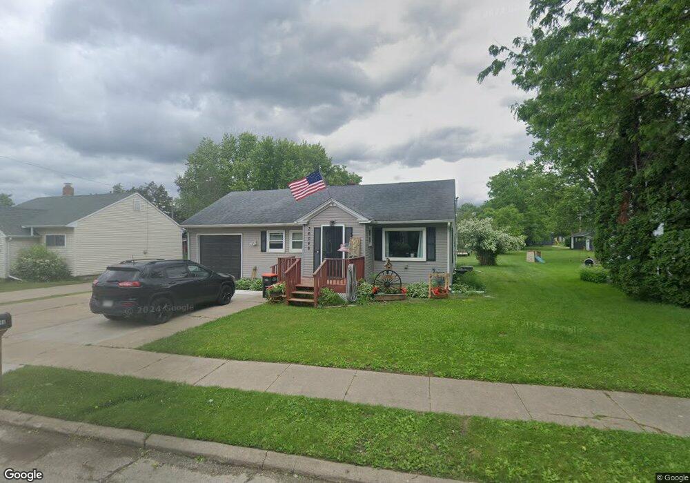
36048 Sherwood St Whitehall, WI 54773
Estimated Value: $147,112 - $166,000
2
Beds
2
Baths
1,077
Sq Ft
$143/Sq Ft
Est. Value
About This Home
This home is located at 36048 Sherwood St, Whitehall, WI 54773 and is currently estimated at $154,528, approximately $143 per square foot. 36048 Sherwood St is a home located in Trempealeau County with nearby schools including Whitehall Memorial Elementary School, Whitehall Memorial Jr./Sr. High School, and Fly Creek Amish School.
Ownership History
Date
Name
Owned For
Owner Type
Purchase Details
Closed on
Jun 15, 2005
Sold by
Hanson Nedra and Sommer Roberta
Bought by
Rose Frank S and Haase Mary L
Current Estimated Value
Home Financials for this Owner
Home Financials are based on the most recent Mortgage that was taken out on this home.
Original Mortgage
$58,870
Outstanding Balance
$30,595
Interest Rate
5.69%
Mortgage Type
FHA
Estimated Equity
$123,933
Create a Home Valuation Report for This Property
The Home Valuation Report is an in-depth analysis detailing your home's value as well as a comparison with similar homes in the area
Home Values in the Area
Average Home Value in this Area
Purchase History
| Date | Buyer | Sale Price | Title Company |
|---|---|---|---|
| Rose Frank S | $59,500 | None Available |
Source: Public Records
Mortgage History
| Date | Status | Borrower | Loan Amount |
|---|---|---|---|
| Open | Rose Frank S | $58,870 |
Source: Public Records
Tax History Compared to Growth
Tax History
| Year | Tax Paid | Tax Assessment Tax Assessment Total Assessment is a certain percentage of the fair market value that is determined by local assessors to be the total taxable value of land and additions on the property. | Land | Improvement |
|---|---|---|---|---|
| 2024 | $1,834 | $97,500 | $7,900 | $89,600 |
| 2023 | $1,697 | $97,500 | $7,900 | $89,600 |
| 2022 | $1,745 | $97,500 | $7,900 | $89,600 |
| 2021 | $1,820 | $71,000 | $6,600 | $64,400 |
| 2020 | $1,819 | $13,040 | $6,600 | $6,440 |
| 2019 | $1,747 | $71,000 | $6,600 | $64,400 |
| 2018 | $1,603 | $71,000 | $6,600 | $64,400 |
| 2017 | $1,696 | $71,000 | $6,600 | $64,400 |
| 2016 | $1,604 | $69,900 | $6,600 | $63,300 |
| 2015 | $1,564 | $69,900 | $6,600 | $63,300 |
| 2014 | $1,476 | $69,900 | $6,600 | $63,300 |
| 2011 | $1,282 | $53,900 | $6,000 | $47,900 |
Source: Public Records
Map
Nearby Homes
- 18430 Hillside Dr
- 18144 Anderson St
- 36015 Main St
- 18124 Fredrickson St
- 36290 Camp St
- N36836 Us Highway 53 121
- N32838 Briten Rd
- 36121 Ash St
- N34701 County Rd N
- N34855 County Rd S
- 35433 Wayne St
- 35979 Osseo Rd
- 23898 Adams St
- N30732 Square Bluff Rd
- 23942 Tracy St
- 517 W Broadway St
- 102 S Peterson Ave
- N34701 County Rd S
- 328 S Urberg Ave
- 39971 Anderson St
- 36062 Sherwood St
- 36030 Sherwood St
- 36074 Sherwood St
- 18378 Ervin St
- 18354 Ervin St
- 36047 Roosevelt St
- 36059 Roosevelt St
- 36035 Roosevelt St
- 36037 Sherwood St
- 36059 Sherwood St
- 18342 Ervin St
- 36088 Sherwood St
- 36071 Roosevelt St
- 36071 Sherwood St
- 36083 Roosevelt St
- 18324 Ervin St
- 18336 Ervin St
- 18088 Ervin St
- 18112 Ervin St
- 18030 Ervin St