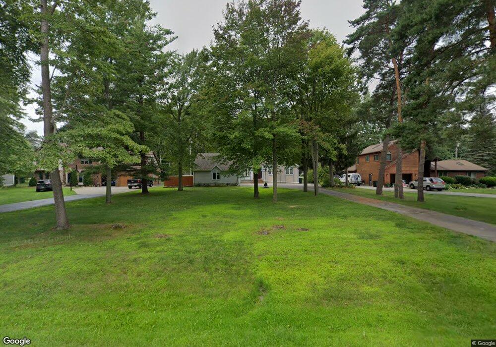
3605 Angus Rd Fort Gratiot, MI 48059
Estimated Value: $274,000 - $364,000
3
Beds
3
Baths
1,516
Sq Ft
$215/Sq Ft
Est. Value
About This Home
This home is located at 3605 Angus Rd, Fort Gratiot, MI 48059 and is currently estimated at $326,227, approximately $215 per square foot. 3605 Angus Rd is a home located in St. Clair County with nearby schools including Edison Elementary School, Fort Gratiot Middle School, and Port Huron Northern High School.
Ownership History
Date
Name
Owned For
Owner Type
Purchase Details
Closed on
Jun 16, 2016
Sold by
Lapp Elmer L and Lapp Gwendolyn I
Bought by
Kosel Daniel G and Kosel Jennifer L
Current Estimated Value
Home Financials for this Owner
Home Financials are based on the most recent Mortgage that was taken out on this home.
Original Mortgage
$161,405
Outstanding Balance
$128,502
Interest Rate
3.58%
Mortgage Type
New Conventional
Estimated Equity
$197,725
Create a Home Valuation Report for This Property
The Home Valuation Report is an in-depth analysis detailing your home's value as well as a comparison with similar homes in the area
Home Values in the Area
Average Home Value in this Area
Purchase History
| Date | Buyer | Sale Price | Title Company |
|---|---|---|---|
| Kosel Daniel G | $169,900 | Attorney |
Source: Public Records
Mortgage History
| Date | Status | Borrower | Loan Amount |
|---|---|---|---|
| Open | Kosel Daniel G | $161,405 |
Source: Public Records
Tax History Compared to Growth
Tax History
| Year | Tax Paid | Tax Assessment Tax Assessment Total Assessment is a certain percentage of the fair market value that is determined by local assessors to be the total taxable value of land and additions on the property. | Land | Improvement |
|---|---|---|---|---|
| 2025 | $2,614 | $159,300 | $0 | $0 |
| 2024 | $2,614 | $157,300 | $0 | $0 |
| 2023 | $1,957 | $134,000 | $0 | $0 |
| 2022 | $3,500 | $122,900 | $0 | $0 |
| 2021 | $3,256 | $118,200 | $0 | $0 |
| 2020 | $3,256 | $106,100 | $106,100 | $0 |
| 2019 | $3,186 | $95,800 | $0 | $0 |
| 2018 | $3,120 | $91,600 | $0 | $0 |
| 2017 | $2,988 | $94,000 | $0 | $0 |
| 2016 | $1,392 | $94,000 | $0 | $0 |
| 2015 | -- | $84,300 | $84,300 | $0 |
| 2014 | -- | $78,400 | $78,400 | $0 |
| 2013 | -- | $77,600 | $0 | $0 |
Source: Public Records
Map
Nearby Homes
- 3625 Angus Rd
- 4224 N River Rd
- 4167 N River Rd
- 4220 E Surrey Ln
- 3993 N River Rd
- 3971 N River Rd
- Lot #9 Thornton Dr
- 3793 Campbell Rd
- 3845 Campbell Rd
- 3865 Krafft Rd
- 3817 Krafft Rd
- 3948 Stoney Ridge Dr
- 4570 Atkins Rd
- 4361 Peck Rd
- 3345 Beach Rd
- 3559 Lightle Rd
- 3230 Range Rd
- 3935 Capital Ave
- 4224 Atkins Rd
- 4440 Cambridge Dr