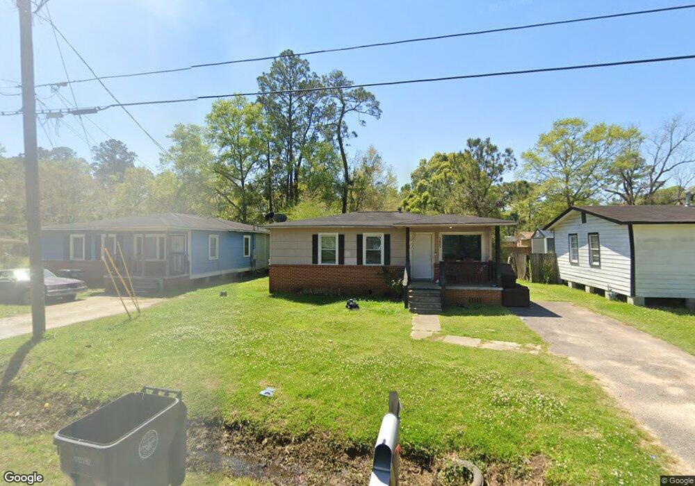
3605 Dial St Mobile, AL 36612
Whistler NeighborhoodEstimated Value: $41,000 - $59,000
3
Beds
1
Bath
875
Sq Ft
$54/Sq Ft
Est. Value
About This Home
This home is located at 3605 Dial St, Mobile, AL 36612 and is currently estimated at $47,314, approximately $54 per square foot. 3605 Dial St is a home located in Mobile County with nearby schools including Chastang-Fournier K-8 School, Vigor High School, and Prichard Preparatory School.
Ownership History
Date
Name
Owned For
Owner Type
Purchase Details
Closed on
Apr 29, 2024
Sold by
Summitbridge Wealth Management Llc
Bought by
Wilson Patrick
Current Estimated Value
Purchase Details
Closed on
Sep 30, 2021
Sold by
Robbins Renos Llc
Bought by
Iplangroup Agent For Custodian Fbo
Purchase Details
Closed on
Jan 23, 2019
Sold by
G A C Southeastern Properties Llc
Bought by
Robbins Renos Llc
Purchase Details
Closed on
Aug 1, 2012
Sold by
Johnson Jonothan S and Johnson Jennifer N
Bought by
G A C Southeastern Properties Llc
Create a Home Valuation Report for This Property
The Home Valuation Report is an in-depth analysis detailing your home's value as well as a comparison with similar homes in the area
Home Values in the Area
Average Home Value in this Area
Purchase History
| Date | Buyer | Sale Price | Title Company |
|---|---|---|---|
| Wilson Patrick | $38,000 | None Listed On Document | |
| Summitbridge Wealth Management Llc | $26,000 | None Listed On Document | |
| Iplangroup Agent For Custodian Fbo | $33,000 | None Available | |
| Robbins Renos Llc | $19,500 | None Available | |
| G A C Southeastern Properties Llc | $12,000 | None Available |
Source: Public Records
Tax History
| Year | Tax Paid | Tax Assessment Tax Assessment Total Assessment is a certain percentage of the fair market value that is determined by local assessors to be the total taxable value of land and additions on the property. | Land | Improvement |
|---|---|---|---|---|
| 2025 | $493 | $7,860 | $1,000 | $6,860 |
| 2024 | $493 | $6,820 | $560 | $6,260 |
| 2023 | $402 | $6,540 | $560 | $5,980 |
| 2022 | $402 | $6,540 | $560 | $5,980 |
| 2021 | $266 | $4,320 | $560 | $3,760 |
| 2020 | $266 | $4,320 | $560 | $3,760 |
| 2019 | $355 | $5,780 | $500 | $5,280 |
| 2018 | $355 | $5,780 | $0 | $0 |
| 2017 | $355 | $5,780 | $0 | $0 |
| 2016 | $368 | $5,980 | $0 | $0 |
| 2013 | $256 | $4,020 | $0 | $0 |
Source: Public Records
Map
Nearby Homes
- 3514 Anton St
- 3531 Anton St
- 3603 St Stephens Rd
- 3318 Vestavia St
- 0 Bear Fork Rd Unit 7268786
- 1705 Wolf Ridge Rd
- 1659 Hand Ave
- 752 Elba Ave
- 1734 S Atmore Ave
- 814 S Wasson Ave
- 6632 Monarch Cir
- 638 Elba Ave
- 0 Junius Ln
- 2970 Persons St
- 2210 Wolf Ridge Rd
- 4304 Dalton Dr
- 4453 Myers Rd
- 4572 Myers Rd
- 0 Saint Stephens Rd Unit 385400
- 00 U S 45
Your Personal Tour Guide
Ask me questions while you tour the home.