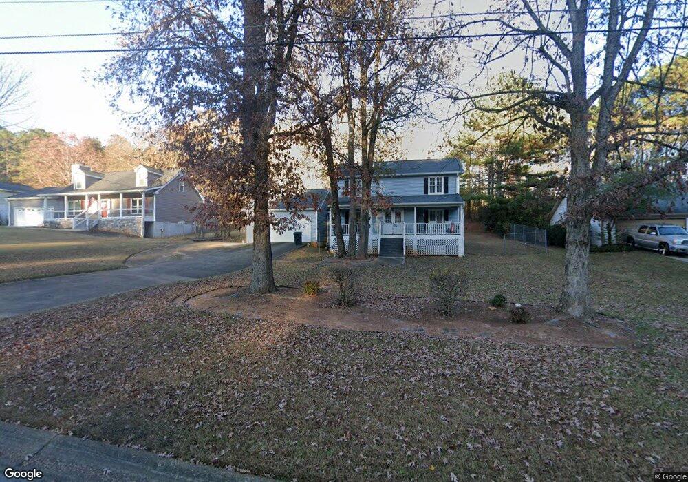
3605 Knoll Crest Trail Buford, GA 30519
Estimated Value: $338,000 - $348,678
3
Beds
3
Baths
1,486
Sq Ft
$231/Sq Ft
Est. Value
About This Home
This home is located at 3605 Knoll Crest Trail, Buford, GA 30519 and is currently estimated at $343,170, approximately $230 per square foot. 3605 Knoll Crest Trail is a home located in Gwinnett County with nearby schools including Patrick Elementary School, Glenn C. Jones Middle School, and Sugar Hill Christian Academy.
Ownership History
Date
Name
Owned For
Owner Type
Purchase Details
Closed on
Dec 30, 2024
Sold by
Reese Klarissa A
Bought by
Mckendawill Properties Llc
Current Estimated Value
Purchase Details
Closed on
May 9, 2001
Sold by
Reese Klarissa A
Bought by
Reese Klarissa A and Reese Renton
Home Financials for this Owner
Home Financials are based on the most recent Mortgage that was taken out on this home.
Original Mortgage
$87,000
Interest Rate
6.95%
Mortgage Type
New Conventional
Purchase Details
Closed on
Apr 28, 1993
Sold by
Secretary Of Hud
Bought by
Aaron Klarissa J
Create a Home Valuation Report for This Property
The Home Valuation Report is an in-depth analysis detailing your home's value as well as a comparison with similar homes in the area
Home Values in the Area
Average Home Value in this Area
Purchase History
| Date | Buyer | Sale Price | Title Company |
|---|---|---|---|
| Mckendawill Properties Llc | -- | -- | |
| Reese Klarissa A | -- | -- | |
| Aaron Klarissa J | -- | -- |
Source: Public Records
Mortgage History
| Date | Status | Borrower | Loan Amount |
|---|---|---|---|
| Previous Owner | Reese Klarissa A | $87,000 |
Source: Public Records
Tax History
| Year | Tax Paid | Tax Assessment Tax Assessment Total Assessment is a certain percentage of the fair market value that is determined by local assessors to be the total taxable value of land and additions on the property. | Land | Improvement |
|---|---|---|---|---|
| 2025 | -- | $126,600 | $32,800 | $93,800 |
| 2024 | $4,915 | $128,400 | $26,400 | $102,000 |
| 2023 | $4,915 | $97,480 | $29,200 | $68,280 |
| 2022 | $2,975 | $74,560 | $25,600 | $48,960 |
| 2021 | $2,680 | $65,400 | $20,800 | $44,600 |
| 2020 | $2,508 | $60,280 | $18,560 | $41,720 |
| 2019 | $2,194 | $53,760 | $16,400 | $37,360 |
| 2018 | $1,892 | $45,240 | $10,000 | $35,240 |
| 2016 | $1,911 | $45,240 | $10,000 | $35,240 |
| 2015 | $1,933 | $45,240 | $10,000 | $35,240 |
| 2014 | -- | $41,640 | $8,000 | $33,640 |
Source: Public Records
Map
Nearby Homes
- 3645 Knoll Crest Trail
- 1781 Plunketts Rd
- 3735 Fir Dr
- 1785 Plunketts Rd
- 2689 Woodward Down Trail NE
- 1970 Sturbridge Ln Unit 1
- 2140 Harvest Ridge Cir
- 3400 Coles Creek Dr
- 2939 Woodward Down Trail
- 3110 Financial Center Way
- 3534 Fallen Oak Ln
- 3503 Fallen Oak Dr
- 2249 White Alder Dr
- 3843 Morning Meadow Ln
- 1320 Newbridge Cir
- 2190 Copper Trail Ln
- 2262 Silver Fox Ln
- 3214 Mill Springs Cir
- 2151 E Maddox Rd
- 2154 Millgate Ln NE
- 3615 Knoll Crest Trail
- 3595 Knoll Crest Trail
- 3625 Knoll Crest Trail Unit 5
- 3585 Knoll Crest Trail
- 3635 Knoll Crest Trail
- 3575 Knoll Crest Trail
- 3600 Knoll Crest Trail
- 3590 Knoll Crest Trail
- 3610 Knoll Crest Trail
- 3580 Knoll Crest Trail
- 3620 Knoll Crest Trail
- 3570 Knoll Crest Trail Unit 15
- 3565 Knoll Crest Trail
- 1701 Plunketts Rd
- 3560 Knoll Crest Trail
- 1691 Plunketts Rd
- 1731 Plunketts Rd
- 1741 Plunketts Rd
- 3555 Knoll Crest Trail
- 3550 Knoll Crest Trail Unit L13
Your Personal Tour Guide
Ask me questions while you tour the home.