3605 Nesbit Rd Monroe, NC 28112
Estimated Value: $498,401 - $557,000
3
Beds
3
Baths
2,407
Sq Ft
$221/Sq Ft
Est. Value
About This Home
This home is located at 3605 Nesbit Rd, Monroe, NC 28112 and is currently estimated at $531,467, approximately $220 per square foot. 3605 Nesbit Rd is a home located in Union County with nearby schools including Western Union Elementary School, Parkwood Middle School, and Parkwood High School.
Ownership History
Date
Name
Owned For
Owner Type
Purchase Details
Closed on
Apr 10, 2024
Sold by
Buford Township Farms Llc
Bought by
S & J Homes Inc
Current Estimated Value
Create a Home Valuation Report for This Property
The Home Valuation Report is an in-depth analysis detailing your home's value as well as a comparison with similar homes in the area
Purchase History
| Date | Buyer | Sale Price | Title Company |
|---|---|---|---|
| S & J Homes Inc | $125,000 | None Listed On Document |
Source: Public Records
Tax History
| Year | Tax Paid | Tax Assessment Tax Assessment Total Assessment is a certain percentage of the fair market value that is determined by local assessors to be the total taxable value of land and additions on the property. | Land | Improvement |
|---|---|---|---|---|
| 2025 | $2,499 | $518,900 | $0 | $0 |
| 2024 | $2,177 | $338,400 | $43,000 | $295,400 |
| 2023 | $2,147 | $338,400 | $43,000 | $295,400 |
| 2022 | $2,147 | $338,400 | $43,000 | $295,400 |
| 2021 | $2,133 | $338,400 | $43,000 | $295,400 |
| 2020 | $1,594 | $206,730 | $16,730 | $190,000 |
| 2019 | $1,625 | $206,730 | $16,730 | $190,000 |
| 2018 | $1,625 | $206,730 | $16,730 | $190,000 |
| 2017 | $1,732 | $206,700 | $16,700 | $190,000 |
| 2016 | $1,675 | $206,730 | $16,730 | $190,000 |
| 2015 | $1,703 | $206,730 | $16,730 | $190,000 |
| 2014 | $1,549 | $222,440 | $29,840 | $192,600 |
Source: Public Records
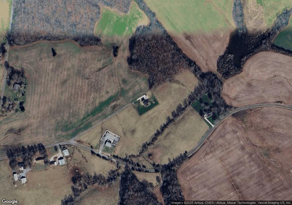
Map
Nearby Homes
- 0 Nesbit Rd Unit CAR4290917
- 4924 Parkwood School Rd
- 5904 Mcwhorter Rd
- 0 Parkwood School Rd
- 4105 Parkwood School Rd
- 219 Barra Dr
- 4607 Nesbit Rd
- 110 Serenity Creek Dr
- 106 Serenity Creek Dr
- 6815 Old Waxhaw Monroe Rd Unit 1
- 6404 Lancaster Hwy
- 01 Lancaster Hwy
- 6419 Lancaster Hwy Unit 9, 19
- 7513 Lancaster Hwy Unit 6
- 7517 Lancaster Hwy Unit 5
- 7717 Lancaster Hwy
- 5916 Newell Dr
- 7409 Old Waxhaw Monroe Rd
- Lot 22 Glenview Meadow Dr Unit Notthingham
- 0 Potter Rd S Unit 1 CAR4189512
- 3811 Nesbit Rd
- 3502 Nesbit Rd
- 3524 Nesbit Rd
- 00 Nesbit Rd
- 5405 Potter Rd S
- 3522 Nesbit Rd
- 5308 Potter Rd S
- 30ac Nesbit Rd
- 54ac Nesbit Rd
- #2 Nesbit Rd
- 4603 Parkwood School Rd
- 5506 Potter Rd S
- 4519 Parkwood School Rd
- 6024 Mcwhorter Rd
- 6104 Potter Rd S
- 4614 Parkwood School Rd
- 4520 Parkwood School Rd
- 4706 Parkwood School Rd
- 4724 Parkwood School Rd
- 000000 Parkwood School Rd Unit Lot 3
Your Personal Tour Guide
Ask me questions while you tour the home.