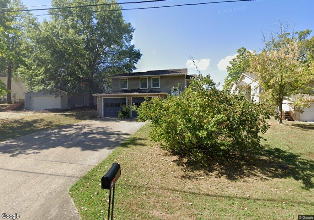
3605 Wayside Dr Columbia, MO 65202
Estimated Value: $235,000 - $264,505
3
Beds
2
Baths
2,068
Sq Ft
$122/Sq Ft
Est. Value
About This Home
This home is located at 3605 Wayside Dr, Columbia, MO 65202 and is currently estimated at $252,835, approximately $122 per square foot. 3605 Wayside Dr is a home located in Boone County with nearby schools including Blue Ridge Elementary School, John B. Lange Middle School, and Muriel W. Battle High School.
Ownership History
Date
Name
Owned For
Owner Type
Purchase Details
Closed on
Apr 22, 2013
Sold by
Chandra George Evans Chundria De Antae and Chandra George Evans
Bought by
George Evans Chundria De Antae
Current Estimated Value
Home Financials for this Owner
Home Financials are based on the most recent Mortgage that was taken out on this home.
Original Mortgage
$130,619
Outstanding Balance
$91,780
Interest Rate
3.37%
Mortgage Type
FHA
Estimated Equity
$161,055
Purchase Details
Closed on
May 9, 2008
Sold by
Laube Judy L and Conley Bonnie K
Bought by
George Evans Chandra
Home Financials for this Owner
Home Financials are based on the most recent Mortgage that was taken out on this home.
Original Mortgage
$138,902
Interest Rate
5.86%
Mortgage Type
FHA
Create a Home Valuation Report for This Property
The Home Valuation Report is an in-depth analysis detailing your home's value as well as a comparison with similar homes in the area
Purchase History
| Date | Buyer | Sale Price | Title Company |
|---|---|---|---|
| George Evans Chundria De Antae | -- | None Available | |
| George Evans Chandra | -- | Boone Central Title Company |
Source: Public Records
Mortgage History
| Date | Status | Borrower | Loan Amount |
|---|---|---|---|
| Open | George Evans Chundria De Antae | $130,619 | |
| Closed | George Evans Chandra | $138,902 |
Source: Public Records
Tax History
| Year | Tax Paid | Tax Assessment Tax Assessment Total Assessment is a certain percentage of the fair market value that is determined by local assessors to be the total taxable value of land and additions on the property. | Land | Improvement |
|---|---|---|---|---|
| 2025 | $1,858 | $28,367 | $3,724 | $24,643 |
| 2024 | $1,671 | $24,776 | $3,724 | $21,052 |
| 2023 | $1,658 | $24,776 | $3,724 | $21,052 |
| 2022 | $1,533 | $22,940 | $3,724 | $19,216 |
| 2021 | $1,536 | $22,940 | $3,724 | $19,216 |
| 2020 | $1,635 | $22,940 | $3,724 | $19,216 |
| 2019 | $1,635 | $22,940 | $3,724 | $19,216 |
| 2018 | $1,524 | $0 | $0 | $0 |
| 2017 | $1,506 | $21,242 | $3,724 | $17,518 |
| 2016 | $1,546 | $21,242 | $3,724 | $17,518 |
| 2015 | $1,426 | $21,242 | $3,724 | $17,518 |
| 2014 | $1,434 | $21,242 | $3,724 | $17,518 |
Source: Public Records
Map
Nearby Homes
- 3901 Bragg Ct
- 3905 Bragg Ct
- 3913 Bragg Ct
- 3921 Bragg Ct
- 2501 Nest Ct
- 3315 N Ridgecrest Dr
- 2501 Spruce Dr
- 8065 N Glen Meadow Dr
- 1815 Blue Ridge Rd
- 3001 Brown Station Rd
- 2601 Mistywood Ct
- 2801 Parker St
- 2307 Holly Ave
- 4109 Citation Dr
- 0 E Starke Ave
- 0 Vandiver Dr
- 4604 Derby Ridge Dr
- 3009 Haden Dr
- 4702 Derby Ridge Dr
- 1302 Look Out Ct
- 3603 Wayside Dr
- 3607 Wayside Dr
- 3601 Wayside Dr
- 3609 Wayside Dr
- 3606 Wayside Dr
- 3701 Wayside Dr
- 3608 Wayside Dr
- 3602 Wayside Dr
- 3700 Wayside Dr
- 3705 Wayside Dr
- 3416 Woodside Dr
- 3702 Wayside Dr
- 3500 Woodside Dr
- 3612 N Oakland Gravel Rd
- 3709 Wayside Dr
- 3720 Southridge Dr
- 3510 Vista Place
- 3504 Woodside Dr
- 3722 Southridge Dr
- 3507 Woodside Dr
Your Personal Tour Guide
Ask me questions while you tour the home.