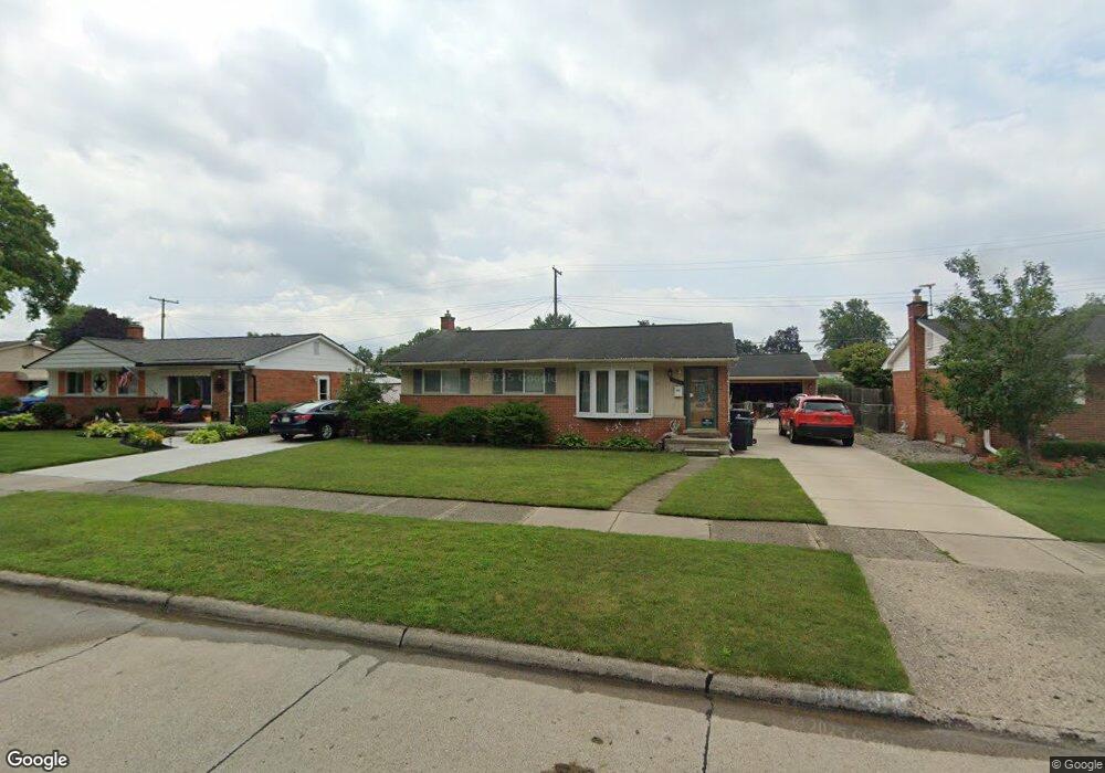
36051 Florane St Westland, MI 48186
Estimated Value: $211,703 - $238,000
--
Bed
1
Bath
931
Sq Ft
$243/Sq Ft
Est. Value
About This Home
This home is located at 36051 Florane St, Westland, MI 48186 and is currently estimated at $225,926, approximately $242 per square foot. 36051 Florane St is a home located in Wayne County with nearby schools including Wildwood Elementary School, Marshall Upper Elementary School, and Adlai Stevenson Middle School.
Ownership History
Date
Name
Owned For
Owner Type
Purchase Details
Closed on
Aug 7, 2017
Sold by
Loboda Elizebeth and Loboda Pawel
Bought by
Toubassi Anthony J
Current Estimated Value
Purchase Details
Closed on
Oct 28, 2003
Sold by
Borders Jana L
Bought by
Loboda Elzbieta
Purchase Details
Closed on
Sep 24, 2001
Sold by
Rimando Almira N
Bought by
Borders Jana L
Create a Home Valuation Report for This Property
The Home Valuation Report is an in-depth analysis detailing your home's value as well as a comparison with similar homes in the area
Home Values in the Area
Average Home Value in this Area
Purchase History
| Date | Buyer | Sale Price | Title Company |
|---|---|---|---|
| Toubassi Anthony J | $138,000 | None Available | |
| Loboda Elzbieta | $156,000 | Multiple | |
| Borders Jana L | $140,000 | -- |
Source: Public Records
Mortgage History
| Date | Status | Borrower | Loan Amount |
|---|---|---|---|
| Closed | Borders Jana L | -- |
Source: Public Records
Tax History Compared to Growth
Tax History
| Year | Tax Paid | Tax Assessment Tax Assessment Total Assessment is a certain percentage of the fair market value that is determined by local assessors to be the total taxable value of land and additions on the property. | Land | Improvement |
|---|---|---|---|---|
| 2025 | $2,488 | $88,000 | $0 | $0 |
| 2024 | $2,488 | $82,000 | $0 | $0 |
| 2023 | $2,376 | $73,400 | $0 | $0 |
| 2022 | $2,753 | $65,400 | $0 | $0 |
| 2021 | $2,684 | $62,900 | $0 | $0 |
| 2020 | $2,655 | $57,200 | $0 | $0 |
| 2019 | $2,558 | $55,200 | $0 | $0 |
| 2018 | $1,955 | $50,000 | $0 | $0 |
| 2017 | $654 | $45,900 | $0 | $0 |
| 2016 | $1,724 | $45,900 | $0 | $0 |
| 2015 | $3,325 | $40,980 | $0 | $0 |
| 2013 | $3,221 | $32,890 | $0 | $0 |
| 2012 | $1,636 | $34,840 | $0 | $0 |
Source: Public Records
Map
Nearby Homes
- 36034 Rolf St
- 36293 Monroe Ave
- 36323 Monroe Ave
- 36020 Glen St
- 35720 Glen St
- 35608 Somerset St
- 1510 S Crown St
- 35193 Sansburn St
- 1519 S Dowling St
- 35236 Glen St
- 1825 Liddicot Ave
- 1853 S Linville Ave
- 540 Dartmouth Crescent Ct
- 344 S Christine
- 1811 S Harvey Ave
- 32730 Palmer Rd
- 624 N Parent St
- 357 S Dobson St
- 639 N Harvey St
- 34728 Somerset St
- 36063 Florane St
- 36046 Rolf St
- 36027 Florane St
- 36058 Rolf St
- 36044 Florane St
- 36056 Florane St
- 36022 Rolf St
- 36015 Florane St
- 36032 Florane St
- 36102 Florane St
- 36121 Florane St
- 36020 Florane St
- 36010 Rolf St
- 36114 Florane St
- 36097 Rolf St
- 36003 Florane St
- 36133 Florane St
- 36047 Rolf St
- 36008 Florane St
- 36087 Rolf St