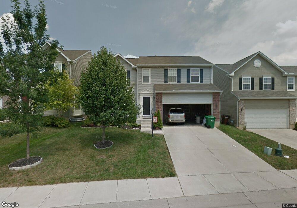
3606 Armada Dr Beavercreek, OH 45431
Estimated Value: $357,490 - $388,000
4
Beds
4
Baths
2,044
Sq Ft
$184/Sq Ft
Est. Value
About This Home
This home is located at 3606 Armada Dr, Beavercreek, OH 45431 and is currently estimated at $376,123, approximately $184 per square foot. 3606 Armada Dr is a home located in Greene County with nearby schools including Shaw Elementary School, Jacob Coy Middle School, and Beavercreek High School.
Ownership History
Date
Name
Owned For
Owner Type
Purchase Details
Closed on
Aug 20, 2015
Sold by
Capuano Joseph P and Capuano Suzanne
Bought by
Bommasani Neeraj Naidu and Bommasani Kalpana
Current Estimated Value
Home Financials for this Owner
Home Financials are based on the most recent Mortgage that was taken out on this home.
Original Mortgage
$205,200
Outstanding Balance
$160,838
Interest Rate
3.93%
Mortgage Type
New Conventional
Estimated Equity
$215,285
Purchase Details
Closed on
Jun 12, 2006
Sold by
Nvr Inc
Bought by
Wyen Chad M and Wyen Danielle R
Home Financials for this Owner
Home Financials are based on the most recent Mortgage that was taken out on this home.
Original Mortgage
$195,006
Interest Rate
6.72%
Mortgage Type
Unknown
Purchase Details
Closed on
Mar 22, 2006
Sold by
Mero Development Llc
Bought by
Nvr Inc
Create a Home Valuation Report for This Property
The Home Valuation Report is an in-depth analysis detailing your home's value as well as a comparison with similar homes in the area
Home Values in the Area
Average Home Value in this Area
Purchase History
| Date | Buyer | Sale Price | Title Company |
|---|---|---|---|
| Bommasani Neeraj Naidu | $216,000 | Attorney | |
| Wyen Chad M | $217,000 | First Title Agency | |
| Nvr Inc | $40,300 | First Title Agency Inc |
Source: Public Records
Mortgage History
| Date | Status | Borrower | Loan Amount |
|---|---|---|---|
| Open | Bommasani Neeraj Naidu | $205,200 | |
| Closed | Wyen Chad M | $195,006 |
Source: Public Records
Tax History Compared to Growth
Tax History
| Year | Tax Paid | Tax Assessment Tax Assessment Total Assessment is a certain percentage of the fair market value that is determined by local assessors to be the total taxable value of land and additions on the property. | Land | Improvement |
|---|---|---|---|---|
| 2024 | $7,063 | $106,080 | $19,130 | $86,950 |
| 2023 | $7,063 | $106,080 | $19,130 | $86,950 |
| 2022 | $6,319 | $83,770 | $15,950 | $67,820 |
| 2021 | $6,194 | $83,770 | $15,950 | $67,820 |
| 2020 | $6,241 | $83,770 | $15,950 | $67,820 |
| 2019 | $5,858 | $71,780 | $12,240 | $59,540 |
| 2018 | $5,184 | $71,780 | $12,240 | $59,540 |
| 2017 | $4,852 | $71,780 | $12,240 | $59,540 |
| 2016 | $4,853 | $65,070 | $12,240 | $52,830 |
| 2015 | $4,079 | $65,070 | $12,240 | $52,830 |
| 2014 | $4,017 | $65,070 | $12,240 | $52,830 |
Source: Public Records
Map
Nearby Homes
- 2690 Gardenia Ave Unit 6
- 3611 King Edward Way
- 3602 Queen Victoria Ct
- 3752 Grant Ave Unit P
- 2402 Spicer Dr
- 2699 Golden Leaf Dr Unit 19-203
- 2745 Golden Leaf Dr Unit 18-303
- 2341 S Old Oaks Dr
- 3976 Graham Dr
- 3951 La Bonne Rd
- 2212 Tulane Dr
- 2340 Fieldstone Cir
- 3125 Crestmont Ln Unit 101
- 4116 Rushton Dr
- 4124 Rosehill Dr
- 2998 Warner Dr
- 2548 Hillsdale Dr
- 3331 Home Acres Ave
- 3653 Knollwood Dr
- 2110 Grange Hall Rd