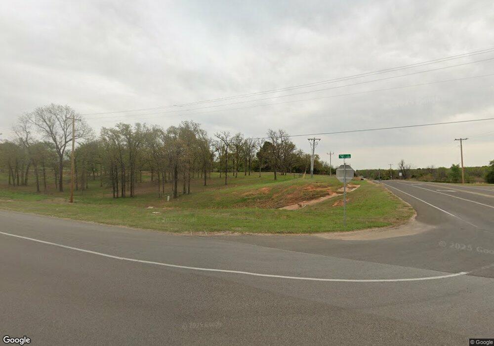
3606 E State Highway 9 Norman, OK 73026
Southeast Norman NeighborhoodEstimated Value: $151,000 - $994,574
3
Beds
2
Baths
1,106
Sq Ft
$545/Sq Ft
Est. Value
About This Home
This home is located at 3606 E State Highway 9, Norman, OK 73026 and is currently estimated at $602,644, approximately $544 per square foot. 3606 E State Highway 9 is a home located in Cleveland County with nearby schools including Katherine I. Daily Elementary School, Pioneer Intermediate Elementary School, and John K. Hubbard Elementary School.
Ownership History
Date
Name
Owned For
Owner Type
Purchase Details
Closed on
Jun 12, 2023
Sold by
County Treasurer Of Cleveland County
Bought by
Rafique Moazzam and Amil Ahsan
Current Estimated Value
Purchase Details
Closed on
Aug 13, 2019
Sold by
Amf Development Llc
Bought by
Multistate Development Company Llc
Purchase Details
Closed on
May 30, 2014
Sold by
Bishop Bobby and Harrison Monica
Bought by
Amf Development Llc
Home Financials for this Owner
Home Financials are based on the most recent Mortgage that was taken out on this home.
Original Mortgage
$431,250
Interest Rate
4.32%
Mortgage Type
Purchase Money Mortgage
Create a Home Valuation Report for This Property
The Home Valuation Report is an in-depth analysis detailing your home's value as well as a comparison with similar homes in the area
Home Values in the Area
Average Home Value in this Area
Purchase History
| Date | Buyer | Sale Price | Title Company |
|---|---|---|---|
| Rafique Moazzam | $153,100 | None Listed On Document | |
| Multistate Development Company Llc | $1,400,000 | Chicago Title Oklahoma Co | |
| Amf Development Llc | $575,000 | Fatco |
Source: Public Records
Mortgage History
| Date | Status | Borrower | Loan Amount |
|---|---|---|---|
| Previous Owner | Amf Development Llc | $431,250 |
Source: Public Records
Tax History Compared to Growth
Tax History
| Year | Tax Paid | Tax Assessment Tax Assessment Total Assessment is a certain percentage of the fair market value that is determined by local assessors to be the total taxable value of land and additions on the property. | Land | Improvement |
|---|---|---|---|---|
| 2024 | $200 | $1,832 | $1,168 | $664 |
| 2023 | $104 | $942 | $601 | $341 |
| 2022 | $95 | $915 | $252 | $663 |
| 2021 | $271 | $2,601 | $252 | $2,349 |
| 2020 | $275 | $2,601 | $252 | $2,349 |
| 2019 | $283 | $2,601 | $252 | $2,349 |
| 2018 | $280 | $2,601 | $252 | $2,349 |
| 2017 | $267 | $2,601 | $0 | $0 |
| 2016 | $270 | $2,601 | $252 | $2,349 |
| 2015 | -- | $2,601 | $252 | $2,349 |
| 2014 | -- | $2,601 | $252 | $2,349 |
Source: Public Records
Map
Nearby Homes
- 3624 Abingdon Dr
- 0 E 36th St Unit 1126583
- 2115 Arcady Ave
- 2217 Arcady Ave
- 2308 Norwood Dr
- 3409 Valley Hollow
- Brea Plan at Bellatona
- Providence Plan at Bellatona
- Taylor Plan at Bellatona
- Brooke Plan at Bellatona
- Newport Plan at Bellatona
- Bella Plan at Bellatona
- Tiffany Plan at Bellatona
- Lynndale Plus Plan at Bellatona
- Andrew Plan at Bellatona
- Carlisle Plan at Bellatona
- 3595 E State Highway 9
- 3915 Abingdon Dr
- 3325 Valley Hollow
- 3922 Caraway Ln
- 2301 36th Ave SE
- 3718 Abingdon Dr
- 3714 Abingdon Dr
- 3722 Abingdon Dr
- 3800 Abingdon Dr
- 3726 Abingdon Dr
- 3730 Abingdon Dr
- 3804 Abingdon Dr
- 2332 Norwood Dr
- 2329 Norwood Dr
- 2328 Norwood Dr
- 3808 Abingdon Dr
- 3816 Abingdon Dr
- 3812 Abingdon Dr
- 2325 Norwood Dr
- 3628 Abingdon Dr
- 3702 Abingdon Dr
- 2322 Arcady Ave
- 2326 Arcady Ave
- 2327 Arcady Ave
