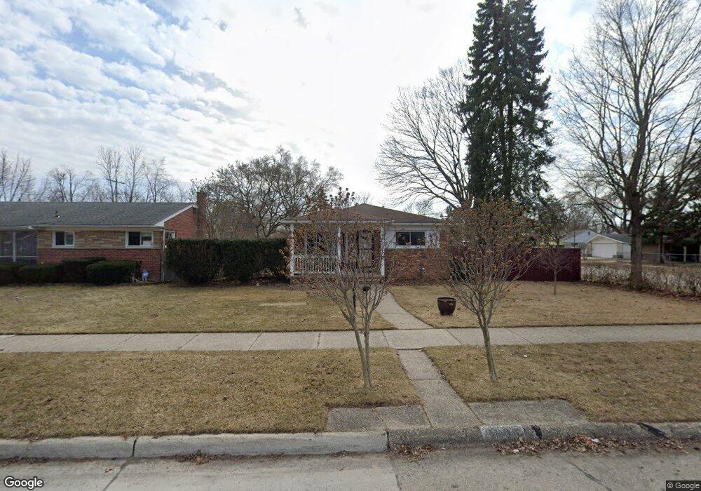
3606 Garrick Ave Warren, MI 48091
Southwest Warren NeighborhoodEstimated Value: $147,711 - $212,000
Studio
2
Baths
1,092
Sq Ft
$162/Sq Ft
Est. Value
About This Home
This home is located at 3606 Garrick Ave, Warren, MI 48091 and is currently estimated at $177,178, approximately $162 per square foot. 3606 Garrick Ave is a home located in Macomb County with nearby schools including Schofield Elementary School, Mound Park Elementary School, and Westview Elementary School.
Ownership History
Date
Name
Owned For
Owner Type
Purchase Details
Closed on
Aug 26, 2008
Sold by
Wilkin Paul R and Wilkin Carol
Bought by
Wilkin Jean
Current Estimated Value
Home Financials for this Owner
Home Financials are based on the most recent Mortgage that was taken out on this home.
Original Mortgage
$62,400
Interest Rate
6.09%
Mortgage Type
Purchase Money Mortgage
Purchase Details
Closed on
Feb 25, 2002
Sold by
Wilkin Raymond P
Bought by
Wilkin Raymond P and Wilkin Paul R
Create a Home Valuation Report for This Property
The Home Valuation Report is an in-depth analysis detailing your home's value as well as a comparison with similar homes in the area
Home Values in the Area
Average Home Value in this Area
Purchase History
We collect this data history from publicly available records. To have your information removed, we recommend requesting removal directly through your county’s website.
| Date | Buyer | Sale Price | Title Company |
|---|---|---|---|
| Wilkin Jean | $78,000 | Corey Title | |
| Wilkin Raymond P | -- | None Available |
Source: Public Records
Mortgage History
We collect this data history from publicly available records. To have your information removed, we recommend requesting removal directly through your county’s website.
| Date | Status | Borrower | Loan Amount |
|---|---|---|---|
| Previous Owner | Wilkin Jean | $62,400 |
Source: Public Records
Tax History
| Year | Tax Paid | Tax Assessment Tax Assessment Total Assessment is a certain percentage of the fair market value that is determined by local assessors to be the total taxable value of land and additions on the property. | Land | Improvement |
|---|---|---|---|---|
| 2025 | $1,730 | $88,160 | $0 | $0 |
| 2024 | $17 | $80,370 | $0 | $0 |
| 2023 | $1,596 | $69,270 | $0 | $0 |
| 2022 | $1,507 | $60,240 | $0 | $0 |
| 2021 | $1,566 | $56,760 | $0 | $0 |
| 2020 | $1,497 | $48,700 | $0 | $0 |
| 2019 | $1,408 | $38,280 | $0 | $0 |
| 2018 | $1,345 | $30,140 | $0 | $0 |
| 2017 | $1,333 | $29,470 | $3,250 | $26,220 |
| 2016 | $1,303 | $29,470 | $0 | $0 |
| 2015 | -- | $27,260 | $0 | $0 |
| 2012 | -- | $26,770 | $0 | $0 |
Source: Public Records
Map
Nearby Homes
- 3409 Jarvis Ave
- 3701 Berkshire Ave
- 3357 Berkshire Ave
- 3234 Poplar Ave
- 3245 Berkshire Ave
- 3167 Berkshire Ave
- 22203 Logue Ave
- 3313 Dallas Ave
- 21857 Le Fever Ave
- 22200 Le Fever Ave
- 21840 Cunningham Ave
- 21044 Sunset Ave
- 22000 Cunningham Ave
- 2184 Garrick Ave
- 3734 Capitol Ave
- 2144 Pearl Ave
- 2216 Goulson Ave
- 4061 E 8 Mile Rd
- 2615 Emmons Ave
- 2119 Rome Ave
- 3618 Garrick Ave
- 3607 Michael Ave
- 3630 Garrick Ave
- 3460 Garrick Ave
- 3619 Michael Ave
- 3461 Michael Ave
- 3631 Michael Ave
- 3607 Garrick Ave
- 3642 Garrick Ave
- 3619 Garrick Ave
- 3448 Garrick Ave
- 3631 Garrick Ave
- 3643 Michael Ave
- 3459 Garrick Ave
- 3449 Michael Ave
- 3700 Garrick Ave
- 3436 Garrick Ave
- 3643 Garrick Ave
- 3701 Michael Ave
- 3437 Michael Ave
Your Personal Tour Guide
Ask me questions while you tour the home.