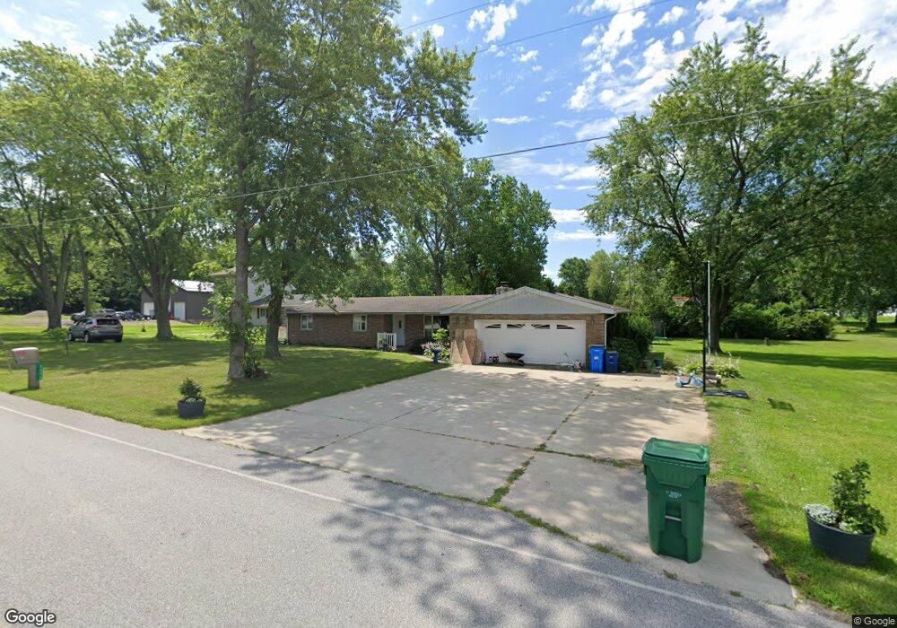
3606 W 1000 N Michigan City, IN 46360
Estimated Value: $251,000 - $289,000
3
Beds
2
Baths
1,652
Sq Ft
$163/Sq Ft
Est. Value
About This Home
This home is located at 3606 W 1000 N, Michigan City, IN 46360 and is currently estimated at $269,344, approximately $163 per square foot. 3606 W 1000 N is a home located in LaPorte County with nearby schools including Springfield Elementary School, Martin T. Krueger Middle School, and Michigan City High School.
Ownership History
Date
Name
Owned For
Owner Type
Purchase Details
Closed on
Apr 14, 2016
Sold by
Scissom Steven A
Bought by
Bye Matthew L
Current Estimated Value
Home Financials for this Owner
Home Financials are based on the most recent Mortgage that was taken out on this home.
Original Mortgage
$116,844
Outstanding Balance
$93,400
Interest Rate
3.87%
Mortgage Type
FHA
Estimated Equity
$175,944
Purchase Details
Closed on
Mar 26, 2007
Sold by
Scissom Henry L
Bought by
Scissom Henry L and Henry L Schissom Jr Revocable Living Tr
Create a Home Valuation Report for This Property
The Home Valuation Report is an in-depth analysis detailing your home's value as well as a comparison with similar homes in the area
Home Values in the Area
Average Home Value in this Area
Purchase History
| Date | Buyer | Sale Price | Title Company |
|---|---|---|---|
| Bye Matthew L | -- | None Available | |
| Scissom Henry L | -- | None Available |
Source: Public Records
Mortgage History
| Date | Status | Borrower | Loan Amount |
|---|---|---|---|
| Open | Bye Matthew L | $116,844 |
Source: Public Records
Tax History Compared to Growth
Tax History
| Year | Tax Paid | Tax Assessment Tax Assessment Total Assessment is a certain percentage of the fair market value that is determined by local assessors to be the total taxable value of land and additions on the property. | Land | Improvement |
|---|---|---|---|---|
| 2024 | $1,045 | $140,200 | $23,600 | $116,600 |
| 2022 | $1,033 | $137,200 | $23,600 | $113,600 |
| 2021 | $953 | $129,500 | $23,600 | $105,900 |
| 2020 | $974 | $129,500 | $23,600 | $105,900 |
| 2019 | $959 | $125,600 | $19,700 | $105,900 |
| 2018 | $847 | $116,600 | $19,700 | $96,900 |
| 2017 | $2,068 | $107,000 | $19,700 | $87,300 |
| 2016 | $736 | $111,100 | $15,700 | $95,400 |
| 2014 | $682 | $102,900 | $15,700 | $87,200 |
Source: Public Records
Map
Nearby Homes
- 3001 W 925 N
- 19701 Kluver Rd
- 13254 Wilson Rd
- 19253 White Pine Dr Unit 2
- 19449 U S 12
- 19409 U S 12
- Integrity 1880 Plan at Woodland Ridge - Integrity
- Elements 2390 Plan at Woodland Ridge
- Elements 2090 Plan at Woodland Ridge
- Integrity 2060 Plan at Woodland Ridge - Integrity
- Elements 1870 Plan at Woodland Ridge
- Integrity 1250 Plan at Woodland Ridge - Integrity
- Integrity 2080 Plan at Woodland Ridge - Integrity
- Integrity 1520 Plan at Woodland Ridge - Integrity
- Integrity 2061 V8.1a Plan at Woodland Ridge - Integrity
- 0 N 900 W Unit NRA504354
- Integrity 2280 Plan at Woodland Ridge - Integrity
- Integrity 2000 Plan at Woodland Ridge - Integrity
- Integrity 1610 Plan at Woodland Ridge - Integrity
- Integrity 1910 Plan at Woodland Ridge - Integrity