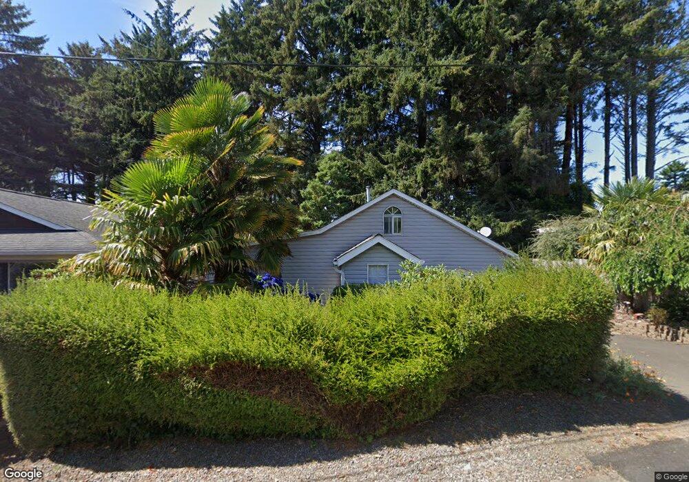
3607 NW Port Ave Lincoln City, OR 97367
Estimated Value: $460,794 - $498,000
2
Beds
1
Bath
900
Sq Ft
$535/Sq Ft
Est. Value
About This Home
This home is located at 3607 NW Port Ave, Lincoln City, OR 97367 and is currently estimated at $481,449, approximately $534 per square foot. 3607 NW Port Ave is a home located in Lincoln County with nearby schools including Oceanlake Elementary School, Taft Elementary School, and Taft High School.
Ownership History
Date
Name
Owned For
Owner Type
Purchase Details
Closed on
May 23, 2016
Sold by
Gillmann Donald P and Gillmann Elsie
Bought by
Gillmann Donald P and Gillmann Rachel E
Current Estimated Value
Home Financials for this Owner
Home Financials are based on the most recent Mortgage that was taken out on this home.
Original Mortgage
$70,000
Interest Rate
3.59%
Mortgage Type
New Conventional
Create a Home Valuation Report for This Property
The Home Valuation Report is an in-depth analysis detailing your home's value as well as a comparison with similar homes in the area
Home Values in the Area
Average Home Value in this Area
Purchase History
| Date | Buyer | Sale Price | Title Company |
|---|---|---|---|
| Gillmann Donald P | -- | Western Title & Escrow |
Source: Public Records
Mortgage History
| Date | Status | Borrower | Loan Amount |
|---|---|---|---|
| Closed | Gillmann Donald P | $70,000 |
Source: Public Records
Tax History Compared to Growth
Tax History
| Year | Tax Paid | Tax Assessment Tax Assessment Total Assessment is a certain percentage of the fair market value that is determined by local assessors to be the total taxable value of land and additions on the property. | Land | Improvement |
|---|---|---|---|---|
| 2024 | $3,356 | $196,860 | -- | -- |
| 2023 | $3,264 | $191,130 | $0 | $0 |
| 2022 | $3,173 | $185,570 | $0 | $0 |
| 2021 | $3,022 | $180,170 | $0 | $0 |
| 2020 | $2,953 | $174,930 | $0 | $0 |
| 2019 | $2,852 | $169,840 | $0 | $0 |
| 2018 | $2,788 | $164,900 | $0 | $0 |
| 2017 | $2,669 | $160,100 | $0 | $0 |
| 2016 | $2,503 | $155,440 | $0 | $0 |
| 2015 | $2,437 | $150,920 | $0 | $0 |
| 2014 | $2,350 | $146,530 | $0 | $0 |
| 2013 | -- | $142,830 | $0 | $0 |
Source: Public Records
Map
Nearby Homes
- 3507 NW Port Ave
- 3432 NW Port Ct
- 1830 NW 35th Place
- 1756 NW 35th Place
- 3522 NE Quay Ave
- 1715 NW 35th Place
- 2064 NW 33rd St
- 3848 NW Port Ave
- 3244 NW Oar Dr
- 1900 Blk Nw 38th Street Tl5000
- 1900 Blk Nw 38th Tl5000
- 3235 NW Quay Dr
- 3570 NE Reef Dr
- 1616 NW 36th St
- 3595 NE Reef Dr
- 3201 NW Mast Ave
- 3039 NW Oar Dr
- 3034 NW Oar Dr
- TL 1001 NW Jetty Ave
- 1845 NW 30th St
- 3617 NW Port Ave
- 3603 NW Port Ave
- 3555 NW Port Ave
- 3627 NW Port Ave
- 1926 NW 35th Place
- 3610 NW Port Ave
- 3531 NW Port Ave
- 3501 NW Port Ave
- 1908 NW 35th Place
- 3635 NW Port Ave
- 3400 Port Ave NW
- 1880 NW 35th Place
- 1900 35th NW
- 1890 35th Place NW
- 1800 Blk NW 35th Pl Tl15500
- 1800 NW 35th Place Tl 15500
- 3545 NW Highway 101
- 1914 NW 36th St
- 3517 NW Hwy 101
- 3545 NW Highway 101