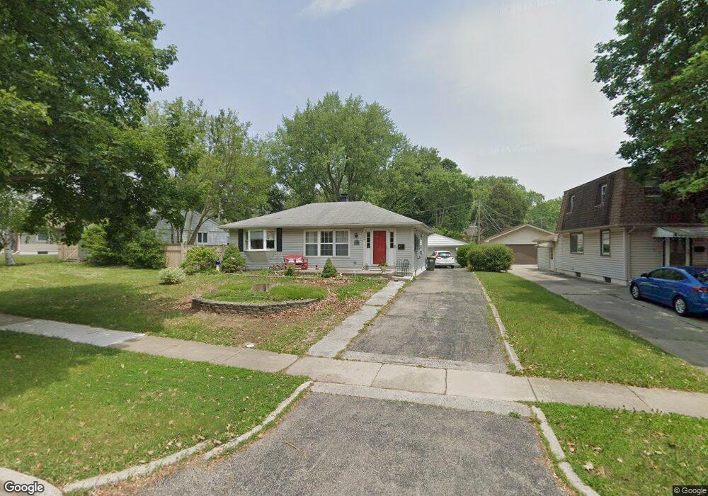
3608 Pheasant Dr Rolling Meadows, IL 60008
Estimated Value: $368,000 - $414,014
3
Beds
3
Baths
2,387
Sq Ft
$161/Sq Ft
Est. Value
About This Home
This home is located at 3608 Pheasant Dr, Rolling Meadows, IL 60008 and is currently estimated at $383,504, approximately $160 per square foot. 3608 Pheasant Dr is a home located in Cook County with nearby schools including Kimball Hill Elementary School, Carl Sandburg Junior High School, and Rolling Meadows High School.
Ownership History
Date
Name
Owned For
Owner Type
Purchase Details
Closed on
Apr 3, 2017
Sold by
Storck Laureen A
Bought by
Parkway Bank And Trust Co and Trust Number 13662
Current Estimated Value
Purchase Details
Closed on
Jan 11, 2005
Sold by
Lindquist Robert N and Lindquist Frances A
Bought by
Lindquist Robert N and Lindquist Frances A
Create a Home Valuation Report for This Property
The Home Valuation Report is an in-depth analysis detailing your home's value as well as a comparison with similar homes in the area
Home Values in the Area
Average Home Value in this Area
Purchase History
| Date | Buyer | Sale Price | Title Company |
|---|---|---|---|
| Parkway Bank And Trust Co | $225,000 | Attorney | |
| Lindquist Robert N | -- | -- |
Source: Public Records
Tax History
| Year | Tax Paid | Tax Assessment Tax Assessment Total Assessment is a certain percentage of the fair market value that is determined by local assessors to be the total taxable value of land and additions on the property. | Land | Improvement |
|---|---|---|---|---|
| 2025 | $5,774 | $33,000 | $5,925 | $27,075 |
| 2024 | $5,774 | $24,807 | $5,013 | $19,794 |
| 2023 | $5,474 | $24,807 | $5,013 | $19,794 |
| 2022 | $5,474 | $24,807 | $5,013 | $19,794 |
| 2021 | $4,722 | $20,254 | $2,962 | $17,292 |
| 2020 | $4,744 | $20,254 | $2,962 | $17,292 |
| 2019 | $4,788 | $22,631 | $2,962 | $19,669 |
| 2018 | $5,220 | $22,301 | $2,734 | $19,567 |
| 2017 | $7,076 | $22,301 | $2,734 | $19,567 |
| 2016 | $6,889 | $23,304 | $2,734 | $20,570 |
| 2015 | $4,763 | $19,625 | $2,506 | $17,119 |
| 2014 | $6,031 | $19,625 | $2,506 | $17,119 |
| 2013 | $3,039 | $19,625 | $2,506 | $17,119 |
Source: Public Records
Map
Nearby Homes
- 3200 Thrush Ln
- 3407 Pheasant Dr
- 4101 Owl Dr
- 3712 Jay Ln
- 3209 Trillium Cir
- 3345 Kirchoff Rd Unit 5C
- 3100 Town Square Dr Unit 308
- 3265 Kirchoff Rd Unit 116
- 2709 Lily Ln
- 3605 Oriole Ln
- 2705 Park St
- 2503 Fulle St Unit 17
- 2930 Northampton Dr Unit A2
- 2212 Fulle St
- 2107 Kirchoff Rd
- 2404 Sigwalt St
- 2508 Algonquin Rd Unit 16
- 2408 Algonquin Rd Unit 3
- 5001 Carriageway Dr Unit 215
- 1117 S Old Wilke Rd Unit 206
- 3610 Pheasant Dr
- 3606 Pheasant Dr
- 3604 Pheasant Dr
- 3108 Starling Ln
- 3106 Starling Ln Unit 9
- 3109 Thrush Ct Unit 9
- 3107 Thrush Ct
- 3602 Pheasant Dr
- 3104 Starling Ln
- 3615 Pheasant Dr
- 3611 Pheasant Dr
- 3617 Pheasant Dr
- 3609 Pheasant Dr
- 3111 Thrush Ct
- 3607 Pheasant Dr
- 3600 Pheasant Dr
- 3102 Starling Ln
- 3105 Thrush Ct
- 3605 Pheasant Dr
- 3105 Starling Ln