361 Bolton Rd East Windsor, NJ 08520
Estimated Value: $352,511 - $446,000
--
Bed
--
Bath
1,796
Sq Ft
$228/Sq Ft
Est. Value
About This Home
This home is located at 361 Bolton Rd, East Windsor, NJ 08520 and is currently estimated at $408,628, approximately $227 per square foot. 361 Bolton Rd is a home located in Mercer County with nearby schools including Oak Tree Elementary School, Monroe Township Middle School, and Monroe Township High School.
Ownership History
Date
Name
Owned For
Owner Type
Purchase Details
Closed on
Jul 6, 2018
Sold by
Work Annette M and The Estate Of John Capson
Bought by
Work Annette M
Current Estimated Value
Home Financials for this Owner
Home Financials are based on the most recent Mortgage that was taken out on this home.
Original Mortgage
$122,000
Outstanding Balance
$105,731
Interest Rate
4.5%
Mortgage Type
New Conventional
Estimated Equity
$302,897
Purchase Details
Closed on
May 16, 2007
Create a Home Valuation Report for This Property
The Home Valuation Report is an in-depth analysis detailing your home's value as well as a comparison with similar homes in the area
Home Values in the Area
Average Home Value in this Area
Purchase History
| Date | Buyer | Sale Price | Title Company |
|---|---|---|---|
| Work Annette M | -- | None Available | |
| -- | -- | -- |
Source: Public Records
Mortgage History
| Date | Status | Borrower | Loan Amount |
|---|---|---|---|
| Open | Work Annette M | $122,000 |
Source: Public Records
Tax History Compared to Growth
Tax History
| Year | Tax Paid | Tax Assessment Tax Assessment Total Assessment is a certain percentage of the fair market value that is determined by local assessors to be the total taxable value of land and additions on the property. | Land | Improvement |
|---|---|---|---|---|
| 2025 | $6,825 | $189,800 | $92,200 | $97,600 |
| 2024 | $6,449 | $189,800 | $92,200 | $97,600 |
| 2023 | $6,449 | $189,800 | $92,200 | $97,600 |
| 2022 | $6,277 | $189,800 | $92,200 | $97,600 |
| 2021 | $6,229 | $189,800 | $92,200 | $97,600 |
| 2020 | $6,237 | $189,800 | $92,200 | $97,600 |
| 2019 | $6,178 | $189,800 | $92,200 | $97,600 |
| 2018 | $6,330 | $189,800 | $92,200 | $97,600 |
| 2017 | $6,324 | $189,800 | $92,200 | $97,600 |
| 2016 | $6,000 | $189,800 | $92,200 | $97,600 |
| 2015 | $5,380 | $189,800 | $92,200 | $97,600 |
| 2014 | $5,308 | $189,800 | $92,200 | $97,600 |
Source: Public Records
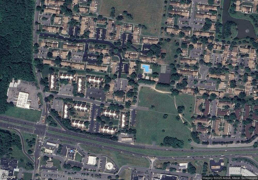
Map
Nearby Homes
- 4 Avon Dr
- 4 Avon Dr Unit F
- 10 Avon Dr
- 857 Jamestown Rd
- B2 Avon Dr
- 13 Avon Dr Unit P
- 2 T-2 Avon
- U7 Avon Dr
- 203 Canterbury Ct
- 197 Canterbury Ct
- 942 Jamestown Rd
- 4 Avon Dr E
- 234 Probasco Rd
- 479 Fairfield Rd
- 174 Canterbury Ct
- 476 Fairfield Rd
- 170 Bennington Dr
- 322 Twin Rivers Dr N
- 74 Probasco Rd
- 16 Twin Rivers Dr N
- 360 Bolton Rd
- 362 Bolton Rd
- 359 Bolton Rd
- 363 Bolton Rd
- 358 Bolton Rd
- 364 Bolton Rd
- 365 Bolton Rd
- 357 Bolton Rd
- 366 Bolton Rd
- 367 Bolton Rd
- 368 Bolton Rd
- 11 Avon Dr Unit F
- 11 Avon Dr
- 11 Avon Dr Unit A
- 11 Avon Dr Unit P
- 11 Avon Dr Unit H
- 11 Avon Dr Unit R11
- 11 Avon Dr Unit P11
- 11 Avon Dr Unit B
- 11 Avon Dr Unit BUILDING P UNIT 11