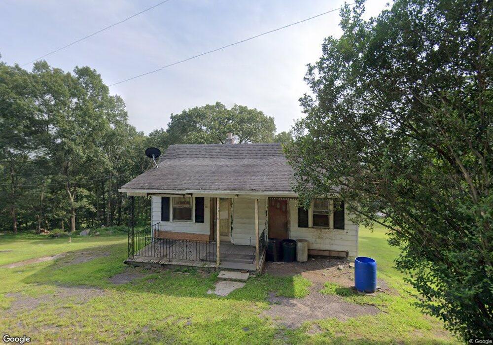
361 Cemetery Rd Wapwallopen, PA 18660
Estimated Value: $80,000 - $208,000
--
Bed
--
Bath
1,104
Sq Ft
$105/Sq Ft
Est. Value
About This Home
This home is located at 361 Cemetery Rd, Wapwallopen, PA 18660 and is currently estimated at $115,636, approximately $104 per square foot. 361 Cemetery Rd is a home located in Luzerne County with nearby schools including Kennedy Early Childhood Center, Nanticoke Area Elementary Center Center, and Greater Nanticoke Area Senior High School.
Ownership History
Date
Name
Owned For
Owner Type
Purchase Details
Closed on
Nov 14, 2024
Sold by
Leonard Neil
Bought by
Shoemaker Dale and Mckeown April
Current Estimated Value
Home Financials for this Owner
Home Financials are based on the most recent Mortgage that was taken out on this home.
Original Mortgage
$4,000
Outstanding Balance
$3,960
Interest Rate
6.12%
Mortgage Type
Seller Take Back
Estimated Equity
$111,676
Purchase Details
Closed on
Feb 21, 2018
Sold by
Starkey Michele and Dancho John
Bought by
Leonard Neil
Purchase Details
Closed on
Jul 18, 2012
Sold by
Hauze Doris M and Hauze Willard
Bought by
Leonard Neil
Create a Home Valuation Report for This Property
The Home Valuation Report is an in-depth analysis detailing your home's value as well as a comparison with similar homes in the area
Home Values in the Area
Average Home Value in this Area
Purchase History
| Date | Buyer | Sale Price | Title Company |
|---|---|---|---|
| Shoemaker Dale | $75,000 | None Listed On Document | |
| Leonard Neil | -- | None Available | |
| Leonard Neil | $48,500 | None Available |
Source: Public Records
Mortgage History
| Date | Status | Borrower | Loan Amount |
|---|---|---|---|
| Open | Shoemaker Dale | $4,000 |
Source: Public Records
Tax History Compared to Growth
Tax History
| Year | Tax Paid | Tax Assessment Tax Assessment Total Assessment is a certain percentage of the fair market value that is determined by local assessors to be the total taxable value of land and additions on the property. | Land | Improvement |
|---|---|---|---|---|
| 2025 | $1,429 | $67,900 | $33,400 | $34,500 |
| 2024 | $1,429 | $67,900 | $33,400 | $34,500 |
| 2023 | $1,404 | $67,900 | $33,400 | $34,500 |
| 2022 | $1,392 | $67,900 | $33,400 | $34,500 |
| 2021 | $1,355 | $67,900 | $33,400 | $34,500 |
| 2020 | $1,355 | $67,900 | $33,400 | $34,500 |
| 2019 | $1,342 | $67,900 | $33,400 | $34,500 |
| 2018 | $1,297 | $67,900 | $33,400 | $34,500 |
| 2017 | $1,251 | $67,900 | $33,400 | $34,500 |
| 2016 | -- | $67,900 | $33,400 | $34,500 |
| 2015 | -- | $67,900 | $33,400 | $34,500 |
| 2014 | -- | $67,900 | $33,400 | $34,500 |
Source: Public Records
Map
Nearby Homes
- 0 Pond Hill Mountain Rd Unit 25-171
- Lot 18 Ruckle Hill Rd
- 4 Circle Ave
- 75 Starview Ln
- 12 Jeanette St
- 40 Italy St
- 49 Hillside Ln
- 494 S River St
- 10 Line St
- 24 Rock St
- 7840 Blue Ridge Trail
- 377 Wapwallopen Rd
- 64-64.5 W Ridge St
- 1042 Salem Blvd
- 0 Zachery Rd Unit 25-286
- 34 Arch St
- 21 E Enterprise St
- 87 Grant St
- 0 Colfax St
- 2.19 acres Saint Marys Rd
- 340 Cemetery Rd
- 343 Cemetery Rd
- 322 Cemetery Rd
- 521 Ruckle Hill Rd
- 527 Ruckle Hill Rd
- 9 Hollow Rd
- 551 Ruckle Hill Rd
- 15 Hollow Rd
- 568 Ruckle Hill Rd
- 559 Ruckle Hill Rd
- 436 Ruckle Hill Rd
- 455 Ruckle Hill Rd
- 586 Ruckle Hill Rd
- 410 Ruckle Hill Rd
- 609 Ruckle Hill Rd
- 53 Hollow Rd
- 165 Cemetery Rd
- 60 Hollow Rd
- 220 Grosz Rd
- 738 Slocum Rd