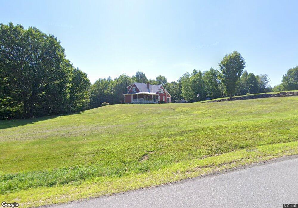
361 Curtis Hill Rd Bryant Pond, ME 04219
Estimated Value: $288,698 - $464,000
--
Bed
--
Bath
979
Sq Ft
$388/Sq Ft
Est. Value
About This Home
This home is located at 361 Curtis Hill Rd, Bryant Pond, ME 04219 and is currently estimated at $379,675, approximately $387 per square foot. 361 Curtis Hill Rd is a home with nearby schools including Telstar Middle School and Telstar High School.
Ownership History
Date
Name
Owned For
Owner Type
Purchase Details
Closed on
Jun 22, 2018
Sold by
Moore Brandy
Bought by
Poland Properties Llc
Current Estimated Value
Home Financials for this Owner
Home Financials are based on the most recent Mortgage that was taken out on this home.
Original Mortgage
$131,000
Interest Rate
4.5%
Mortgage Type
New Conventional
Create a Home Valuation Report for This Property
The Home Valuation Report is an in-depth analysis detailing your home's value as well as a comparison with similar homes in the area
Home Values in the Area
Average Home Value in this Area
Purchase History
| Date | Buyer | Sale Price | Title Company |
|---|---|---|---|
| Poland Properties Llc | -- | -- |
Source: Public Records
Mortgage History
| Date | Status | Borrower | Loan Amount |
|---|---|---|---|
| Closed | Poland Properties Llc | $131,000 |
Source: Public Records
Tax History Compared to Growth
Tax History
| Year | Tax Paid | Tax Assessment Tax Assessment Total Assessment is a certain percentage of the fair market value that is determined by local assessors to be the total taxable value of land and additions on the property. | Land | Improvement |
|---|---|---|---|---|
| 2024 | $3,604 | $227,371 | $35,400 | $191,971 |
| 2023 | $3,263 | $227,371 | $35,400 | $191,971 |
| 2022 | $3,217 | $227,371 | $35,400 | $191,971 |
| 2021 | $3,070 | $227,371 | $35,400 | $191,971 |
| 2020 | $2,593 | $196,437 | $35,400 | $161,037 |
| 2019 | $2,564 | $196,437 | $35,400 | $161,037 |
| 2018 | $2,514 | $196,437 | $35,400 | $161,037 |
| 2017 | $2,514 | $196,437 | $35,400 | $161,037 |
| 2016 | $2,087 | $163,011 | $30,900 | $132,111 |
| 2015 | $2,070 | $163,011 | $30,900 | $132,111 |
| 2014 | $1,948 | $163,010 | $30,900 | $132,110 |
Source: Public Records
Map
Nearby Homes
- 15 Pioneer St
- 16 Greenwood St
- 24 High St
- 41 Pioneer St
- Lot 12 Pioneer St
- 123 Pioneer St
- 268 Bethel Rd
- 590 W Paris Rd
- 43 Morse Rd
- 66 High St
- 83 Outlook Rd
- 219 Outlook Rd
- Lot# 55 Arline's Way
- 64 Outlook Rd
- Lot 56 S Main St
- 21 Dunham Rd
- 80-002-A Road Less Traveled Rd
- 64 Black Brook Rd
- 120 Harbor Rd
- 117 Perkins Valley Rd
- 186 Curtis Hill Rd
- 379 Curtis Hill Rd
- 401 Curtis Hill Rd
- 394 Curtis Hill Rd
- 1 Curtis Hill Rd
- 18 Churchill Hill Rd
- 73 Churchill Hill Rd
- 23 Churchill Hill Rd
- 19 Churchill Hill Rd
- 356 Curtis Hill Rd
- 352 Curtis Hill Rd
- 7 Curtis Hill Rd
- 9 Curtis Hill Rd
- 311 Curtis Hill Rd
- 4 Curtis Hill Rd
- 12A Andrews Brook Rd
- 349 Curtis Hill Rd
- 21 Churchill Hill Rd
- 284 Curtis Hill Rd
- 308 Curtis Hill Rd